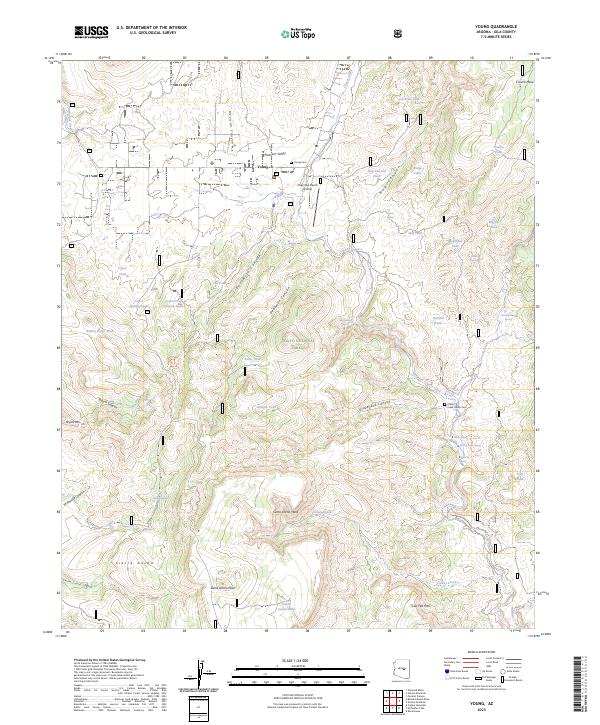
2023 Map of Young
USGS Topo · Published 2023About this map
Pleasant Valley serves as the focal point of this highland landscape, dominated by the settlement of Young and its surrounding ranchlands. The area's history is anchored by the Young Cem and the more remote Cherry Creek Ranch Cem, which reflect the early ranching families that established themselves along the watercourses. To the south, the terrain rises sharply toward the Sierra Ancha range, including prominent heights like Sierra Ancha Peak and Sierra Ancha Mesa. Drainage patterns are defined by the rugged descent of Cherry Creek and several deeply cut canyons such as Deadman Canyon and Fourmile Canyon. The inclusion of the Chapman Ranch Airstrip underscores the continued importance of private aviation in navigating this isolated portion of the Tonto National Forest. Numerous livestock tanks and springs, such as Hog Canyon Tank and Scarlet Spring, dot the landscape, indicating the long-standing reliance on dispersed water sources for local agriculture.
Find a feature on this map
66 named features on this map. Tap any name to fly to it.
Don’t see what you’re looking for? This feature index may not catch every label — zoom into the map to look around manually.
Map Details
Editions of this 2023 Young Map
This is the sole edition of this map. No revisions or reprints were ever made.
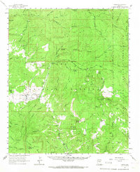
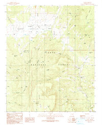
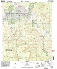
Historical Maps of Young Through Time
4 maps found