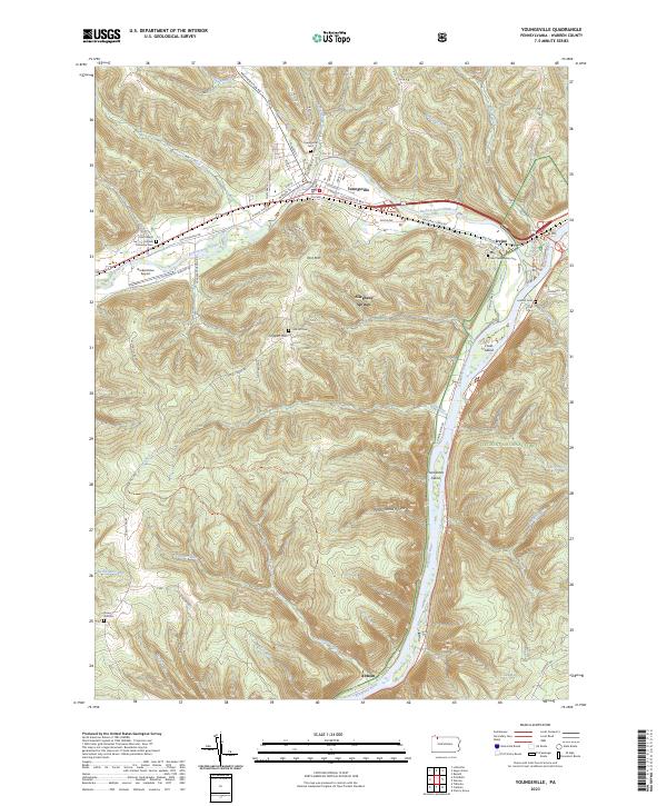
2023 Map of Youngsville
USGS Topo · Published 2023About this map
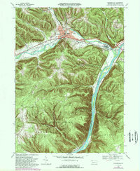
Youngsville serves as a focal point at the confluence of Matthews Run and Brokenstraw Creek, where the valley floor widens significantly before meeting the Allegheny River corridor. The map highlights a landscape defined by industrial and agricultural history, with the Brokenstraw Airport situated in the flatlands west of town. To the southeast, the terrain rises sharply toward York Mtn, transitioning into the dense woodlands of the Allegheny National Forest. This 2023 edition documents the protected river corridor of the Allegheny Wild and Scenic River, featuring several river islands including Cruils Island and Thompsons Island within the Allegheny Islands Wilderness. Genealogists will find several burial sites preserved across the ridges and valleys, including the York Hill Cem and the Saint Marys Greek Orthodox Cem near the historic path of Old Pittsfield Rd.
Find a feature on this map
73 named features on this map. Tap any name to fly to it.
Don’t see what you’re looking for? This feature index may not catch every label — zoom into the map to look around manually.
Map Details
Editions of this 2023 Youngsville Map
This is the sole edition of this map. No revisions or reprints were ever made.
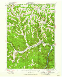
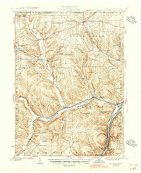
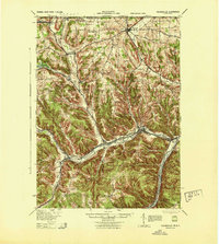
Historical Maps of Deerfield Township Through Time
5 maps found
Featured Locations
- Pittsfield Township, PA
- Pleasant Township, PA
- Brokenstraw Township, PA
- Conewango Township, PA
- Youngsville, PA