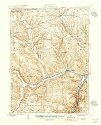
1929 Map of Youngsville
USGS Topo · Published 1945About this map
Youngsville and Pittsfield serve as central hubs along the winding course of Brokenstraw Creek during the late 1920s. This survey, conducted just as the Allegheny National Forest was being established, documents a landscape transitioning from pioneer agricultural clearings to managed timberland. A dense network of local education and faith is visible through numerous hill-country institutions, such as Hamblin Hill Sch and Forest Chapel. The importance of early fire detection in this wooded terrain is noted by the Cole Hill Fire Tower, overlooking the valley. Transportation is dominated by the Pennsylvania Central and New York Central RR, which follow the river grades. Significant landmarks for local history include the medicinal waters of Allegheny Springs and the geological formation at Pikes Rocks, providing a detailed view of the rural Warren County economy before mid-century modernization.
Find a feature on this map
102 named features on this map. Tap any name to fly to it.
Don’t see what you’re looking for? This feature index may not catch every label — zoom into the map to look around manually.
Map Details
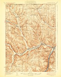
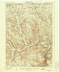
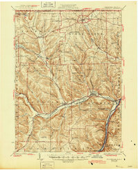
Editions of this 1929 Youngsville Map
5 editions found

Other maps of this area

1904 · Chautaqua
USGS Topo · 1:62,500

1905 · Clymer
USGS Topo · 1:62,500

1905 · Jamestown
USGS Topo · 1:62,500

1906 · Warren
USGS Topo · 1:62,500

1907 · Warren
USGS Topo · 1:62,500

1908 · Warren
USGS Topo · 1:62,500

1926 · Youngsville
USGS Topo · 1:62,500

1927 · Tidioute
USGS Topo · 1:48,000

1927 · Titusville
USGS Topo · 1:62,500

1929 · Corry
USGS Topo · 1:48,000