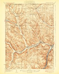
1929 Map of Youngsville
USGS Topo · Published 1929About this map
Brokenstraw Creek and the Allegheny River serve as the primary geographical anchors for this 1920s topography, carving deep valleys through the plateau of Warren County. The region is defined by a dense network of early 20th-century rural infrastructure, specifically a high concentration of one-room schools such as Yankiebush Sch, Kitchen Sch, and Sears Hill Sch that served the upland farming communities. The Cole Hill Fire Tower stands as a prominent lookout over the Allegheny National Forest boundary, while the valley floors are dominated by the routes of the New York Central and Erie RR. The map illustrates a landscape of distinct family-named landmarks like Stilson Hill and Murray Hill, alongside extensive wetlands like Sugar Grove Swamp and Benson Swamp that have historically shaped local road and rail alignments.
Find a feature on this map
97 named features on this map. Tap any name to fly to it.
Don’t see what you’re looking for? This feature index may not catch every label — zoom into the map to look around manually.
Map Details
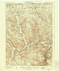
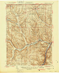
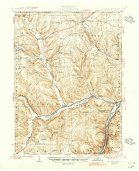
Editions of this 1929 Youngsville Map
5 editions found

Other maps of this area

1904 · Chautaqua
USGS Topo · 1:62,500

1905 · Clymer
USGS Topo · 1:62,500

1905 · Jamestown
USGS Topo · 1:62,500

1906 · Warren
USGS Topo · 1:62,500

1907 · Warren
USGS Topo · 1:62,500

1908 · Warren
USGS Topo · 1:62,500

1926 · Youngsville
USGS Topo · 1:62,500

1927 · Tidioute
USGS Topo · 1:48,000

1927 · Titusville
USGS Topo · 1:62,500

1929 · Corry
USGS Topo · 1:48,000