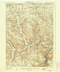
1929 Map of Youngsville
USGS Topo · Published 1937About this map
The confluence of Brokenstraw Creek and the Allegheny River anchors this 1920s survey, showing a landscape defined by industrial transport and rural social hubs. In the borough of Youngsville, the intersection of the Pennsylvania R R and New York Central R R highlights the town's role as a regional transit node. This rail network extends throughout the territory, with the Erie R R serving the northwest corner near Bear Lake.
Find a feature on this map
92 named features on this map. Tap any name to fly to it.
Don’t see what you’re looking for? This feature index may not catch every label — zoom into the map to look around manually.
Map Details
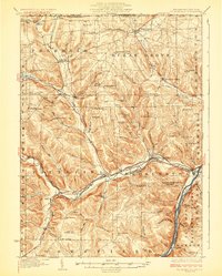
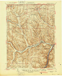
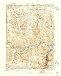
Editions of this 1929 Youngsville Map
5 editions found

Other maps of this area

1904 · Chautaqua
USGS Topo · 1:62,500

1905 · Clymer
USGS Topo · 1:62,500

1905 · Jamestown
USGS Topo · 1:62,500

1906 · Warren
USGS Topo · 1:62,500

1907 · Warren
USGS Topo · 1:62,500

1908 · Warren
USGS Topo · 1:62,500

1926 · Youngsville
USGS Topo · 1:62,500

1927 · Tidioute
USGS Topo · 1:48,000

1927 · Titusville
USGS Topo · 1:62,500

1929 · Corry
USGS Topo · 1:48,000