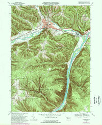
1969 Map of Youngsville
USGS Topo · Published 1989About this map
Youngsville and Irvine serve as the primary hubs on this Warren County map, where the winding Brokenstraw Creek meets the wide Allegheny River. The landscape is dominated by the steep ridges of Brokenstraw Mtn and the sprawling State Game Lands No 86, illustrating the intersection of industrial rail transport and vast conservation areas. Along the river, Thompsons Island and Crulls Island sit in the channel, while the Conrail line follows the northern bank of the creek through town. Local history details are preserved in the locations of the County Home and Hospital, St Lukes Ch, and several scattered Oil Wells, marking the region's long-standing connection to the petroleum industry. This 1969 field-checked survey includes later photogrammetric revisions that document the persistence of small settlements like Althom and recreational sites like the Buckaloons Recreation Area.
Find a feature on this map
44 named features on this map. Tap any name to fly to it.
Don’t see what you’re looking for? This feature index may not catch every label — zoom into the map to look around manually.
Map Details
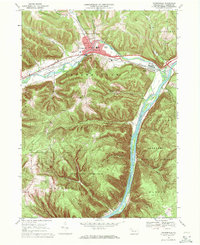
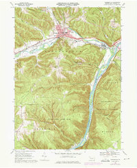
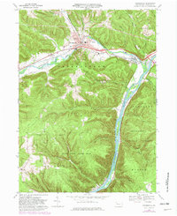
Editions of this 1969 Youngsville Map
4 editions found
Other maps of this area

1906 · Warren
USGS Topo · 1:62,500

1907 · Warren
USGS Topo · 1:62,500

1908 · Warren
USGS Topo · 1:62,500

1926 · Youngsville
USGS Topo · 1:62,500

1927 · Tidioute
USGS Topo · 1:48,000

1929 · Youngsville
USGS Topo · 1:62,500

1930 · Tidioute
USGS Topo · 1:62,500

1935 · Sheffield
USGS Topo · 1:48,000

1941 · Sheffield
USGS Topo · 1:62,500

1943 · Youngsville
USGS Topo · 1:62,500