
1930 Map of Tidioute
USGS Topo · Published 1930About this map
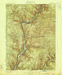
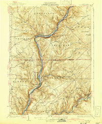
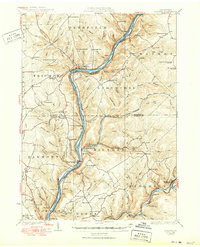
The Allegheny River defines this 1920s landscape, serving as the primary corridor for both the Pennsylvania R R and early state highways. The settlement of Tidioute anchors the northern river bend, while smaller hamlets like Trunkeyville, West Hickory, and East Hickory trace the water's edge. The rugged upland terrain between Warren and Forest counties is marked by a dense network of one-room schoolhouses, including the Triumph Sch, Plank Road Sch, and Cobham Sch, reflecting the distributed nature of rural life before school consolidation.
Find a feature on this map
122 named features on this map. Tap any name to fly to it.
Don’t see what you’re looking for? This feature index may not catch every label — zoom into the map to look around manually.
Map Details
Editions of this 1930 Tidioute Map
4 editions found
Other maps of this area

1906 · Warren
USGS Topo · 1:62,500

1907 · Warren
USGS Topo · 1:62,500

1908 · Warren
USGS Topo · 1:62,500

1918 · Loleta
USGS Topo · 1:62,500

1922 · Oil City
USGS Topo · 1:48,000

1922 · Tionesta
USGS Topo · 1:62,500

1924 · Oil City
USGS Topo · 1:62,500

1924 · Tionesta
USGS Topo · 1:62,500

1926 · Youngsville
USGS Topo · 1:62,500

1927 · Tidioute
USGS Topo · 1:48,000