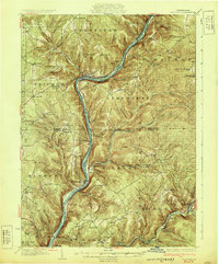
1930 Map of Tidioute
USGS Topo · Published 1930About this map
The Allegheny River valley dictates the geography of this 1930 edition, with the Pennsylvania Railroad and State Highway No. 33 following its winding course past industrial and timber settlements. In Tidioute, the river forms a sharp bend, serving as a hub for nearby logging and oil operations in the Allegheny National Forest. The map documents a transition from early timber wealth to a more established rural infrastructure, evidenced by the numerous small schoolhouses like Watson Sch and Pleasant Grove Sch scattered across the high ridges.
Find a feature on this map
94 named features on this map. Tap any name to fly to it.
Don’t see what you’re looking for? This feature index may not catch every label — zoom into the map to look around manually.
Map Details
Editions of this 1930 Tidioute Map
4 editions found

Other maps of this area

1906 · Warren
USGS Topo · 1:62,500

1907 · Warren
USGS Topo · 1:62,500

1908 · Warren
USGS Topo · 1:62,500

1918 · Loleta
USGS Topo · 1:62,500

1922 · Oil City
USGS Topo · 1:48,000

1922 · Tionesta
USGS Topo · 1:62,500

1924 · Oil City
USGS Topo · 1:62,500

1924 · Tionesta
USGS Topo · 1:62,500

1926 · Youngsville
USGS Topo · 1:62,500

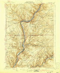
1927 · Tidioute
USGS Topo · 1:48,000