2022 Map of Youngville
USGS Topo · Published 2022About this map
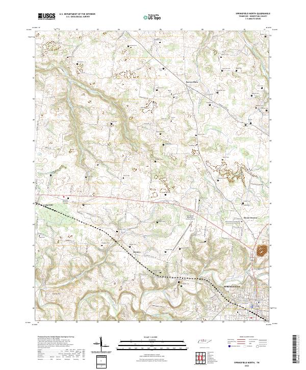
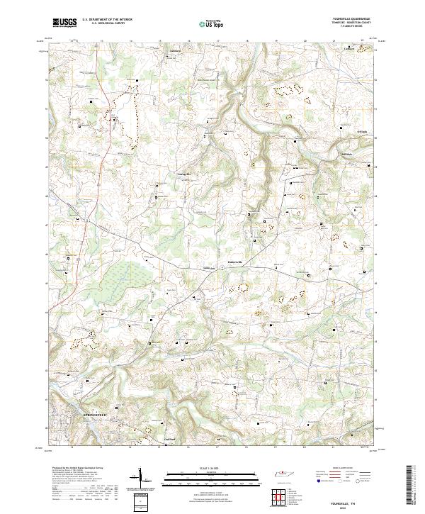
The Sulphur Fork Red River and South Fork Red River define the agricultural landscape of Robertson County in this contemporary survey. To the south, the city of Springfield anchors the region near Wartrace Lake, while the remainder of the quadrangle is dotted with long-established rural settlements such as Youngville, Ashburn, and Hubertville. The density of family-named burial grounds across these hills—including Smelser Cem, Draughan Cem, and Wilson Cem—illustrates a deep-rooted pattern of private land ownership and kinship.
Find a feature on this map
138 named features on this map. Tap any name to fly to it.
Don’t see what you’re looking for? This feature index may not catch every label — zoom into the map to look around manually.
Map Details
Editions of this 2022 Youngville Map
This is the sole edition of this map. No revisions or reprints were ever made.
Historical Maps of Youngville Through Time
6 maps found