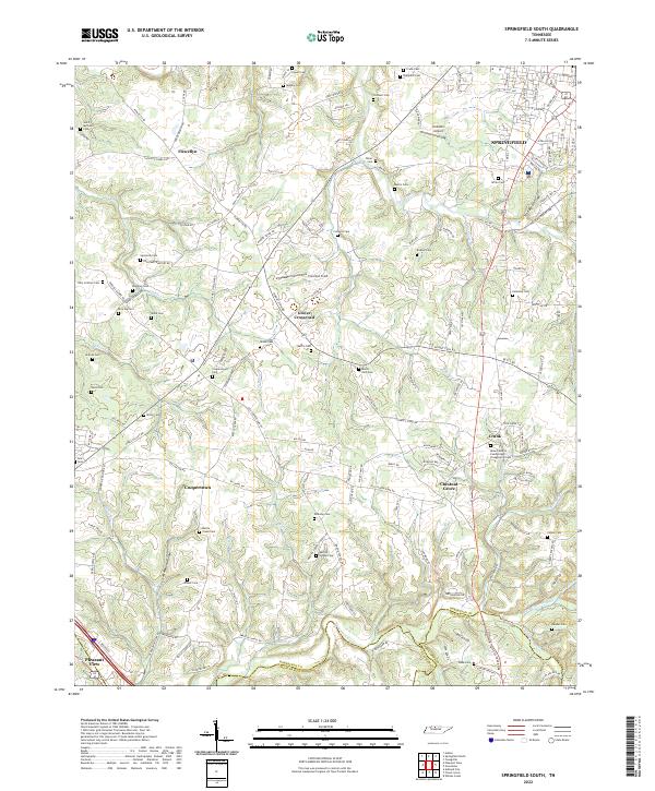
2022 Map of Springfield South
USGS Topo · Published 2022About this map
Springfield and the surrounding rural landscape of Robertson County are documented here through an intricate network of family cemeteries and country roads. The map reveals a high density of historical burial sites, from Saint Michaels Cem in the northwest to the Mount Sharon Cumberland Presbyterian Cem near Crunk. This distribution of cemeteries, such as Lipscomb Cem and Browning Cem, suggests a pattern of localized family landholdings and small church congregations that have persisted as the area transitioned into a bedroom community for the Nashville region.
Find a feature on this map
164 named features on this map. Tap any name to fly to it.
Don’t see what you’re looking for? This feature index may not catch every label — zoom into the map to look around manually.
Map Details
Editions of this 2022 Springfield South Map
This is the sole edition of this map. No revisions or reprints were ever made.
Other maps of this area

1903 · Nashville
USGS Topo · 1:125,000

1931 · Ridgetop
USGS Topo · 1:62,500

1935 · Ridgetop
USGS Topo · 1:62,500

1952 · Springfield North
USGS Topo · 1:24,000

1952 · Youngville
USGS Topo · 1:24,000

1955 · Whites Creek
USGS Topo · 1:24,000

1955 · Forest Grove
USGS Topo · 1:24,000

1956 · Nashville
USGS Topo · 1:250,000

1957 · Adams
USGS Topo · 1:24,000

1957 · Pleasant View
USGS Topo · 1:24,000