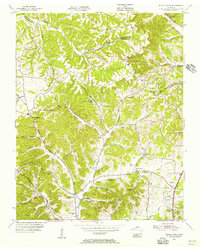
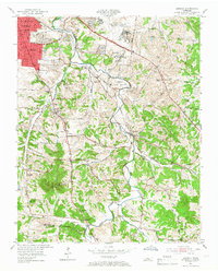
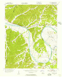
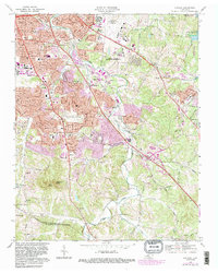
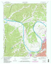
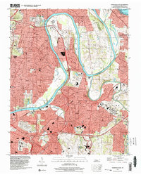
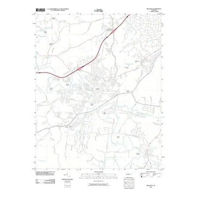
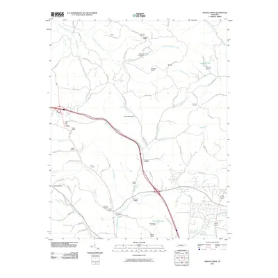
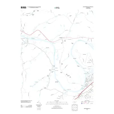
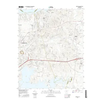
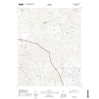
1955 Map of Whites Creek
USGS Topo · Published 1956About this map
Dividing Ridge and Paradise Ridge form the spine of this mid-century landscape north of Nashville, where the winding headwaters of Sycamore Creek and Whites Creek carve a series of deep hollows. The settlement pattern is defined by upland ridges and narrow valleys, with rural hubs like Joelton and Union Hill anchored by local institutions such as Union Hill Ch and Walkers Ch. The 1955 survey captures the area at a point of technological transition, evidenced by the prominent Television Tower (WLAC) and Radio Towers (WLAC) standing near the modern Dixie Highway.
Find a feature on this map
55 named features on this map. Tap any name to fly to it.
Don’t see what you’re looking for? This feature index may not catch every label — zoom into the map to look around manually.
Map Details
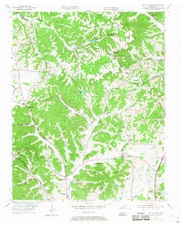
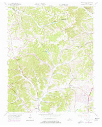
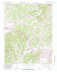
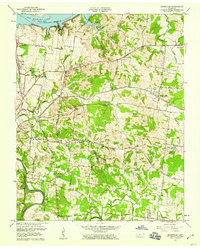
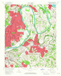
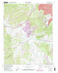
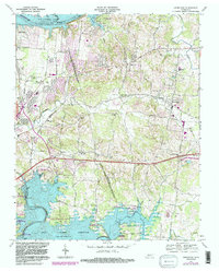
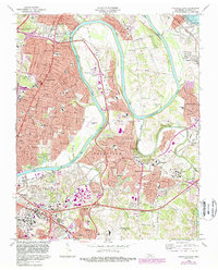
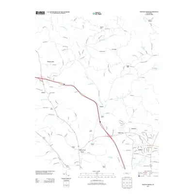
Editions of this 1955 Whites Creek Map
4 editions found
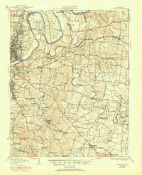
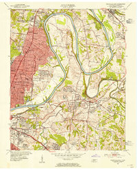
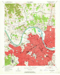
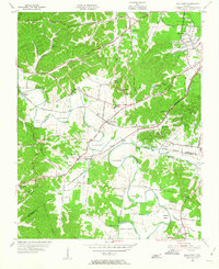
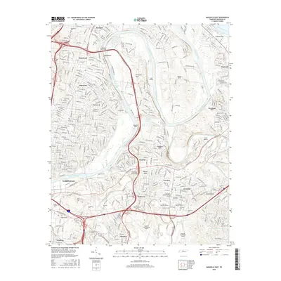
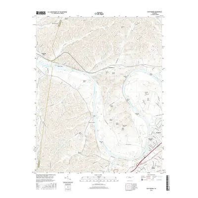
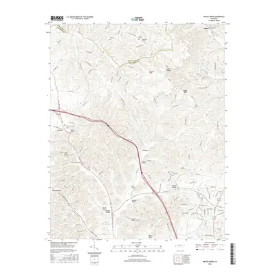
Historical Maps of Nashville Through Time
58 maps found
1932 Hermitage
Davidson County, TN
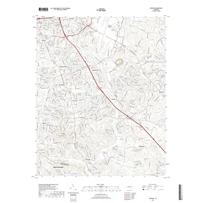
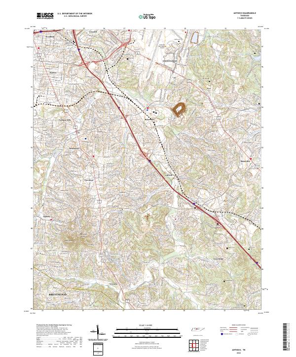
1952 Antioch
Davidson County, TN

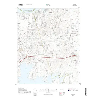
1952 Hermitage
Davidson County, TN
1952 Nashville East
Davidson County, TN
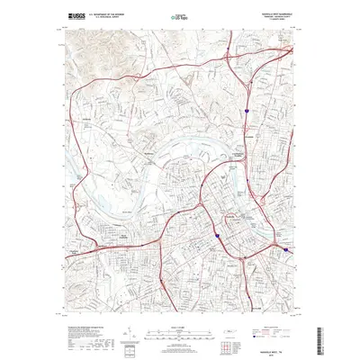
1952 Nashville West
Davidson County, TN
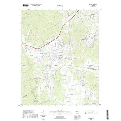
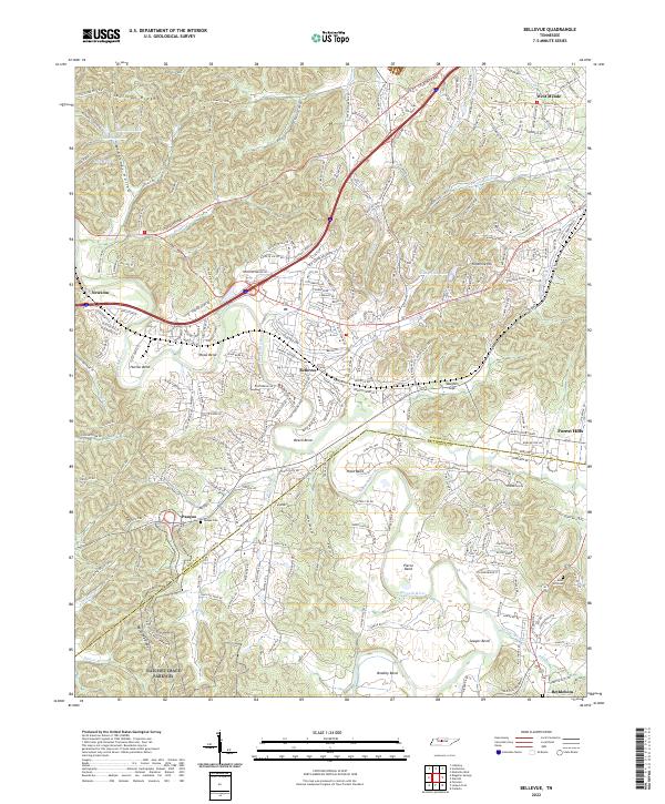
1955 Belleview
Davidson County, TN
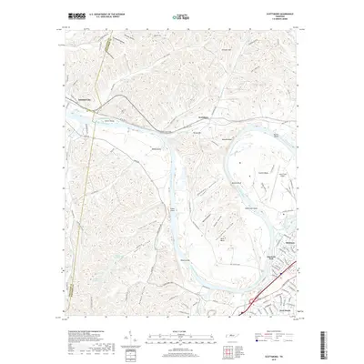
1955 Scottsboro
Davidson County, TN
1955 Whites Creek
Davidson County, TN
1957 Hermitage
Davidson County, TN
1957 Nashville East
Davidson County, TN
1968 Antioch
Davidson County, TN
1968 Bellevue
Davidson County, TN
1968 Hermitage
Davidson County, TN
1968 Nashville East
Davidson County, TN

1968 Nashville West
Davidson County, TN
1968 Scottsboro
Davidson County, TN
1994 Whites Creek
Davidson County, TN
1997 Bellevue
Davidson County, TN
1997 Hermitage
Davidson County, TN
1997 Nashville East
Davidson County, TN
1997 Nashville West
Davidson County, TN
1997 Scottsboro
Davidson County, TN
1999 Antioch
Davidson County, TN

2010 Antioch
Davidson County, TN
2010 Bellevue
Davidson County, TN
2010 Hermitage
Davidson County, TN
2010 Nashville East
Davidson County, TN

2010 Nashville West
Davidson County, TN
2010 Scottsboro
Davidson County, TN
2010 Whites Creek
Davidson County, TN
2013 Antioch
Davidson County, TN
2013 Bellevue
Davidson County, TN
2013 Hermitage
Davidson County, TN

2013 Nashville East
Davidson County, TN

2013 Nashville West
Davidson County, TN
2013 Scottsboro
Davidson County, TN
2013 Whites Creek
Davidson County, TN
2016 Antioch
Davidson County, TN
2016 Bellevue
Davidson County, TN
2016 Hermitage
Davidson County, TN
2016 Nashville East
Davidson County, TN

2016 Nashville West
Davidson County, TN
2016 Scottsboro
Davidson County, TN
2016 Whites Creek
Davidson County, TN
2019 Antioch
Davidson County, TN
2019 Bellevue
Davidson County, TN
2019 Hermitage
Davidson County, TN

2019 Nashville East
Davidson County, TN
2019 Nashville West
Davidson County, TN
2019 Scottsboro
Davidson County, TN
2019 Whites Creek
Davidson County, TN
2022 Antioch
Davidson County, TN
2022 Bellevue
Davidson County, TN
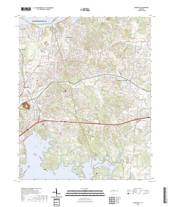
2022 Hermitage
Davidson County, TN
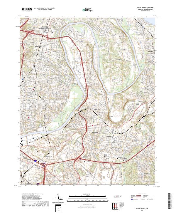
2022 Nashville East
Davidson County, TN

2022 Nashville West
Davidson County, TN
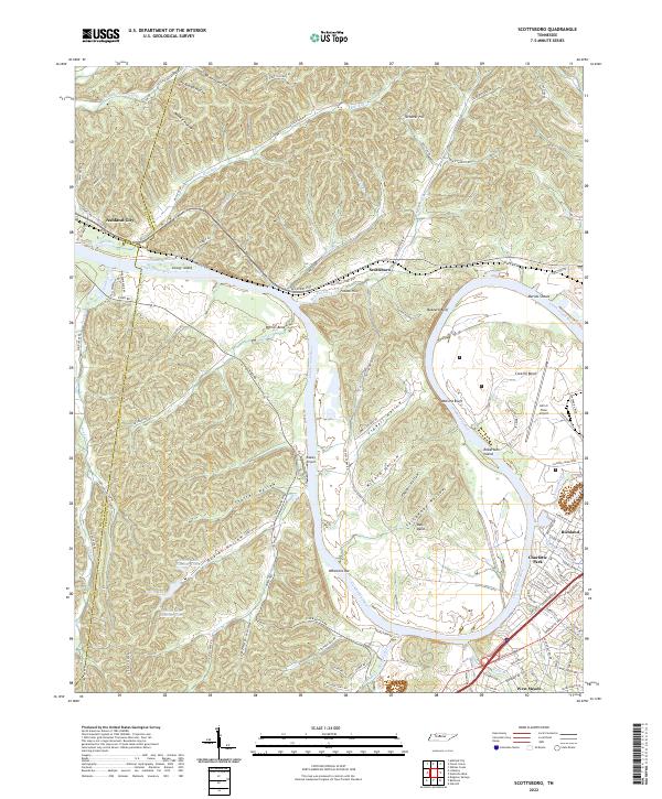
2022 Scottsboro
Davidson County, TN
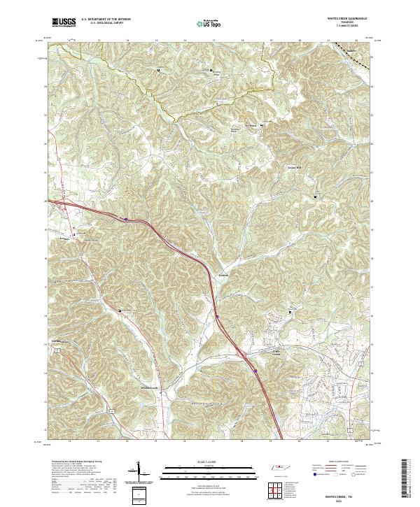
2022 Whites Creek
Davidson County, TN