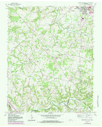
1961 Map of Springfield South
USGS Topo · Published 1983About this map
Springfield anchors the northern edge of this Tennessee landscape, where the town’s southern expansion meets the rolling hills of the Highland Rim. This survey captures the transition from the concentrated residential blocks of the county seat to a rural interior defined by the winding paths of Sycamore Creek and Carr Creek. The 1961 data, updated with 1981 aerial observations, reveals a network of small family settlements and community hubs like Glover Crossroad and Coopertown.
Find a feature on this map
58 named features on this map. Tap any name to fly to it.
Don’t see what you’re looking for? This feature index may not catch every label — zoom into the map to look around manually.
Map Details
Editions of this 1961 Springfield South Map
4 editions found
Other maps of this area

1903 · Nashville
USGS Topo · 1:125,000

1931 · Ridgetop
USGS Topo · 1:62,500

1935 · Ridgetop
USGS Topo · 1:62,500

1952 · Springfield North
USGS Topo · 1:24,000

1952 · Youngville
USGS Topo · 1:24,000

1955 · Whites Creek
USGS Topo · 1:24,000

1955 · Forest Grove
USGS Topo · 1:24,000

1956 · Nashville
USGS Topo · 1:250,000

1957 · Adams
USGS Topo · 1:24,000

1957 · Pleasant View
USGS Topo · 1:24,000