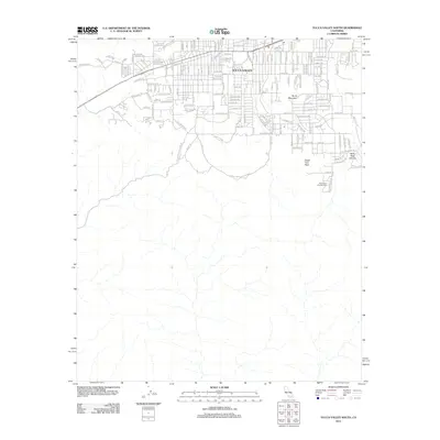
2012 Map of Yucca Valley South
USGS Topo · Published 2012About this map
Yucca Valley serves as the central hub of this desert landscape, where residential street grids give way to the protected wilderness of Joshua Tree National Park. The southern portion of the map is defined by the transition from high-desert development to steep, natural terrain, marked by prominent landmarks such as Burnt Mountain and South Park Peak. Transportation in the region is anchored by the 29 Palms Hwy, with a network of trails and roads like Little Morongo Canyon Rd and San Andreas Rd reaching into the foothills. Evidence of the area's mineral interest is found along Silver Mine Trl, while recreation is centered around the Black Rock Campground and the adjacent Black Rock Canyon.
Find a feature on this map
79 named features on this map. Tap any name to fly to it.
Don’t see what you’re looking for? This feature index may not catch every label — zoom into the map to look around manually.
Map Details
Editions of this 2012 Yucca Valley South Map
This is the sole edition of this map. No revisions or reprints were ever made.
Other maps of this area

1901 · Southern California Sheet No. 1
USGS Topo · 1:250,000

1901 · San Jacinto
USGS Topo · 1:125,000

1902 · San Gorgonio
USGS Topo · 1:125,000

1904 · Southern California Sheet No. 1
USGS Topo · 1:250,000

1940 · Palm Springs
USGS Topo · 1:62,500

1941 · Edom
USGS Topo · 1:62,500

1944 · Palm Springs
USGS Topo · 1:62,500

1944 · Edom
USGS Topo · 1:62,500

1947 · Santa Ana
USGS Topo · 1:250,000

1949 · Santa Ana
USGS Topo · 1:250,000