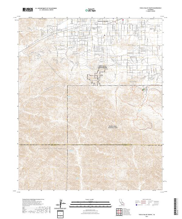
2021 Map of Yucca Valley South
USGS Topo · Published 2021About this map
Yucca Valley sits at the northern edge of this high desert terrain, serving as the gateway to the protected landscapes of Joshua Tree National Park. The map documents a complex network of residential streets and trails that transition abruptly from town into the open canyons and ridges of the Little San Bernardino Mountains. These slopes are punctuated by remote water sources, including the curiously named Chuckawalla Bill Spring and Black Rock Spring, which historically supported movement through this arid environment. To the west, the land drops toward Morongo Valley, while the southern half of the sheet is dominated by deep geological cuts like Long Canyon and Black Rock Canyon. The survey illustrates the intersection of modern suburban development with the preservation of massive desert peaks like North Park Peak and Burnt Mtn.
Find a feature on this map
58 named features on this map. Tap any name to fly to it.
Don’t see what you’re looking for? This feature index may not catch every label — zoom into the map to look around manually.
Map Details
Editions of this 2021 Yucca Valley South Map
This is the sole edition of this map. No revisions or reprints were ever made.
Other maps of this area

1901 · Southern California Sheet No. 1
USGS Topo · 1:250,000

1901 · San Jacinto
USGS Topo · 1:125,000

1902 · San Gorgonio
USGS Topo · 1:125,000

1904 · Southern California Sheet No. 1
USGS Topo · 1:250,000

1940 · Palm Springs
USGS Topo · 1:62,500

1941 · Edom
USGS Topo · 1:62,500

1944 · Palm Springs
USGS Topo · 1:62,500

1944 · Edom
USGS Topo · 1:62,500

1947 · Santa Ana
USGS Topo · 1:250,000

1949 · Santa Ana
USGS Topo · 1:250,000