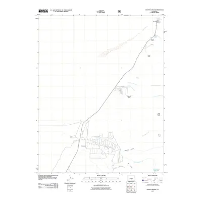
2011 Map of Zapata Ranch
USGS Topo · Published 2011About this map
Zapata Ranch serves as a primary landmark in this landscape defined by high ridges and drainage networks along the Sangre de Cristo foothills. The terrain is marked by numerous seasonal and perennial water sources, including Mosca Spring, Denton Spring, and the high-elevation Middle Zapata Creek Lake. Evidence of local history and transhumance is found in the naming of Urraca Cemetery and the various gulches like Tellurium Gulch and Evans Gulch, which suggest a legacy of prospecting and ranching.
Find a feature on this map
31 named features on this map. Tap any name to fly to it.
Don’t see what you’re looking for? This feature index may not catch every label — zoom into the map to look around manually.
Map Details
Editions of this 2011 Zapata Ranch Map
This is the sole edition of this map. No revisions or reprints were ever made.
Other maps of this area

1889 · Huerfano Park
USGS Topo · 1:125,000

1892 · Huerfano Park
USGS Topo · 1:125,000

1954 · Trinidad
USGS Topo · 1:250,000

1955 · Trinidad
USGS Topo · 1:250,000

1958 · Trinidad
USGS Topo · 1:250,000

1959 · Trinidad
USGS Topo · 1:250,000

1965 · Medano Ranch
USGS Topo · 1:24,000

1965 · Zapata Ranch
USGS Topo · 1:24,000

1965 · Dry Lakes
USGS Topo · 1:24,000

1965 · Twin Peaks
USGS Topo · 1:24,000