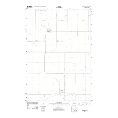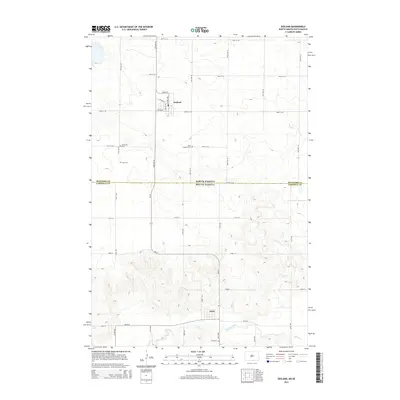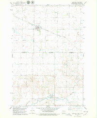
1978 Map of Zeeland
USGS Topo · Published 1979About this map
Zeeland, North Dakota, and Artas, South Dakota, anchor this late-1970s survey of the borderlands between McIntosh and Campbell counties. The landscape is defined by the heavy infrastructure of the Chicago Milwaukee St Paul and Pacific railroad, which cuts northwest through the terrain. This period reveals a community organized around faith and memory, evidenced by the distribution of several denominational burial sites including St Andrew Cem, Reformed Cem, and Zion Cem. In the southern portion of the quadrangle near the state line, the drainage of Spring Creek meanders past the small settlement of Artas. Local infrastructure of the era is clearly visible, from the town Park and water tower to the local Landing Strip, providing a clear view of the rural Dakota prairie before modern agricultural consolidation.
Find a feature on this map
20 named features on this map. Tap any name to fly to it.
Don’t see what you’re looking for? This feature index may not catch every label — zoom into the map to look around manually.
Map Details
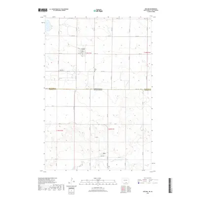
Editions of this 1978 Zeeland Map
This is the sole edition of this map. No revisions or reprints were ever made.
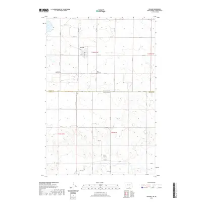
Historical Maps of Zeeland Through Time
6 maps found