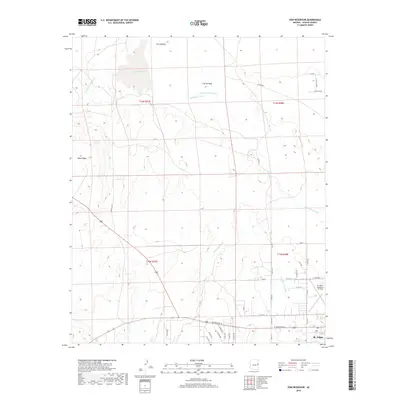
2018 Map of Zion Reservoir
USGS Topo · Published 2018About this map
St. Johns serves as the primary hub in this corner of Apache County, where the high desert terrain meets the critical drainage of the Little Colorado River. The northern landscape is defined by the ephemeral flows of Carrizo Wash and Big Hollow Wash, which feed toward the valley floor. To the northwest, the prominent Twin Buttes and Black Ridge break the horizon, while the Zion Reservoir provides a focal point for water management in this arid region.
Find a feature on this map
41 named features on this map. Tap any name to fly to it.
Don’t see what you’re looking for? This feature index may not catch every label — zoom into the map to look around manually.
Map Details
Editions of this 2018 Zion Reservoir Map
This is the sole edition of this map. No revisions or reprints were ever made.
Other maps of this area

1886 · St Johns
USGS Topo · 1:250,000

1892 · St Johns
USGS Topo · 1:250,000

1954 · Saint Johns
USGS Topo · 1:250,000

1955 · Adamana 4 NE
USGS Topo · 1:24,000

1955 · Wolford Springs 3 NW
USGS Topo · 1:24,000

1955 · Adamana 4 SE
USGS Topo · 1:24,000

1955 · Wolford Springs 3 SW
USGS Topo · 1:24,000

1955 · Hunt
USGS Topo · 1:62,500

1957 · Saint Johns
USGS Topo · 1:250,000

1958 · Saint Johns
USGS Topo · 1:250,000