
1955 Map of Zith-Tusayan Butte 1 SE
USGS Topo · Published 1958About this map
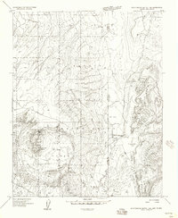
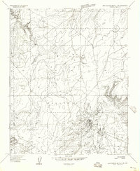
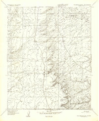
Fort Defiance sits at the southwestern edge of this landscape, serving as a focal point where the Defiance Plateau drops away into the Black Creek Valley. This 1950s survey captures the geography of the Navajo Indian Reservation along the border of Arizona and New Mexico, a region defined by high elevations and seasonal drainage systems. The terrain transitions from the uplifted plateau in the west toward the sharply rising Sonsela Mountains in the east, with various washes and ephemeral streams like Bonito Creek and Meadow Wash dissecting the slopes.
Find a feature on this map
23 named features on this map. Tap any name to fly to it.
Don’t see what you’re looking for? This feature index may not catch every label — zoom into the map to look around manually.
Map Details
Editions of this 1955 Zith-Tusayan Butte 1 SE Map
This is the sole edition of this map. No revisions or reprints were ever made.
Other maps of this area

1886 · Wingate
USGS Topo · 1:250,000

1886 · Fort Defiance
USGS Topo · 1:250,000

1892 · Fort Defiance
USGS Topo · 1:250,000

1892 · Wingate
USGS Topo · 1:250,000

1954 · Gallup
USGS Topo · 1:250,000

1955 · Zith-Tusayan Butte 4 NW
USGS Topo · 1:24,000

1955 · Zith-Tusayan Butte 4 NE
USGS Topo · 1:24,000
1955 · Zith-Tusayan Butte 1 NE
USGS Topo · 1:24,000
1955 · Zith-Tusayan Butte 1 NW
USGS Topo · 1:24,000
1955 · Zith-Tusayan Butte 1 SW
USGS Topo · 1:24,000