Old Maps of Chuuk for Metal Detecting
Plan your next treasure hunt with 10 historic maps of Chuuk. Find old homesites, ghost towns, trails, and gathering spots that may be lost to time — perfect for identifying promising metal detecting locations.
- Locate forgotten sites: Uncover places like long-lost settlements, abandoned rail lines, or gathering spots.
- Plan better hunts: Use map overlays combined with LiDAR or satellite views to narrow in on historically rich areas.
- Made for detectorists: Thousands of hobbyists use these maps to discover relics, coins, and hidden history.
Use these historic maps to boost your research and find new opportunities beneath the surface of Chuuk.
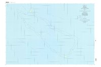
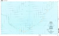
Chuuk maps
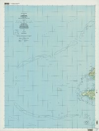
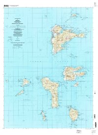
(10)- 1983 Map of Unikappi
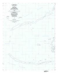 1983 Unikappi1983 Print · USGSCovers Chuuk, including Polle, Federated States of Micronesia, and other nearby areas
 - 1996 Map of Neoch, 2004 Print
 1996 Neoch2004 Print · USGSCovers Chuuk, including Uman, Federated States of Micronesia, and other nearby areas
 - 1996 Map of Meseong, 2004 Print
 1996 Meseong2004 Print · USGSCovers Chuuk, including Federated States of Micronesia, and other nearby areas
 - 1996 Map of Tol South, 2004 Print
 1996 Tol South2004 Print · USGSCovers Chuuk, including Federated States of Micronesia, and other nearby areas
 - 1997 Map of Unikappi, 2003 Print
 1997 Unikappi2003 Print · USGSCovers Chuuk, including Epinnou, Neo, and other nearby areas
 - 1997 Map of Tol, 2003 Print
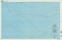
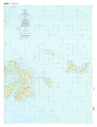 1997 Tol2003 Print · USGSCovers Chuuk, including Polle, Romanum, and other nearby areas
 - 1997 Map of Wonno, 2004 Print
 1997 Wonno2004 Print · USGSCovers Chuuk, including Federated States of Micronesia, and other nearby areas
 - 1997 Map of Piis Moen, 2004 Print
 1997 Piis Moen2004 Print · USGSCovers Chuuk, including Pis-Paneu, Federated States of Micronesia, and other nearby areas
 - 1997 Map of Weno, 2004 Print
 1997 Weno2004 Print · USGSCovers Chuuk, including Tonowas, Penia, and other nearby areas
 - 1997 Map of Ruo, 2004 Print
 1997 Ruo2004 Print · USGSCovers Chuuk, including Pis-Paneu, Moch, and other nearby areas
End of results
Showing maps 1-10 of 10
Top cities of Chuuk
Frequently asked questions
- What are the different types of historical maps available for Chuuk?
- What is the oldest map of Chuuk?
- Where can I purchase historical maps of Chuuk for my home or office?
- Where can I download high-res historical maps of Chuuk?
- Are there historical topographic maps available for Chuuk?
- Is there historical aerial imagery available for Chuuk?
- Where are historical maps of Chuuk sourced from?