Old Maps of Chuuk for Hiking & Exploration
Hike through history with 10 historic maps of Chuuk. Explore old trails, ghost towns, and forgotten backroads — perfect for outdoor adventurers and local explorers.
- Rediscover forgotten places: Map out old mining camps, roads, and footpaths that no longer exist on modern maps.
- Layer with modern tools: Combine with LiDAR or satellite views to plan hikes through historical terrain.
- Made for exploration: Popular among hikers, overlanders, and local history lovers.
Use these maps to find adventure and explore the hidden past of Chuuk.
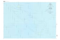
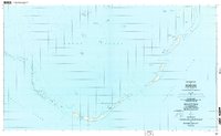
Chuuk maps
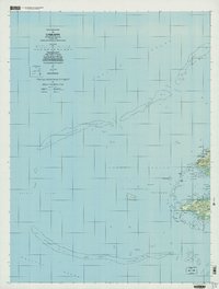
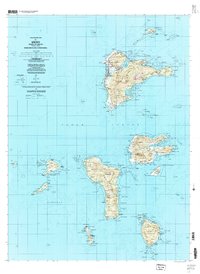
(10)- 1983 Map of Unikappi
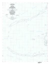 1983 Unikappi1983 Print · USGSCovers Chuuk, including Polle, Federated States of Micronesia, and other nearby areas
 - 1996 Map of Neoch, 2004 Print
 1996 Neoch2004 Print · USGSCovers Chuuk, including Uman, Federated States of Micronesia, and other nearby areas
 - 1996 Map of Meseong, 2004 Print
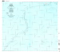
 1996 Meseong2004 Print · USGSCovers Chuuk, including Federated States of Micronesia, and other nearby areas
 - 1996 Map of Tol South, 2004 Print
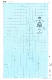
 1996 Tol South2004 Print · USGSCovers Chuuk, including Federated States of Micronesia, and other nearby areas
 - 1997 Map of Unikappi, 2003 Print
 1997 Unikappi2003 Print · USGSCovers Chuuk, including Epinnou, Neo, and other nearby areas
 - 1997 Map of Tol, 2003 Print
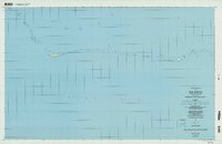
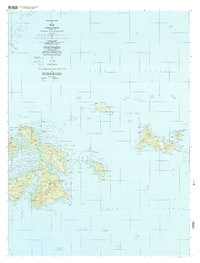 1997 Tol2003 Print · USGSCovers Chuuk, including Polle, Romanum, and other nearby areas
 - 1997 Map of Wonno, 2004 Print
 1997 Wonno2004 Print · USGSCovers Chuuk, including Federated States of Micronesia, and other nearby areas
 - 1997 Map of Piis Moen, 2004 Print
 1997 Piis Moen2004 Print · USGSCovers Chuuk, including Pis-Paneu, Federated States of Micronesia, and other nearby areas
 - 1997 Map of Weno, 2004 Print
 1997 Weno2004 Print · USGSCovers Chuuk, including Tonowas, Penia, and other nearby areas
 - 1997 Map of Ruo, 2004 Print
 1997 Ruo2004 Print · USGSCovers Chuuk, including Pis-Paneu, Moch, and other nearby areas
End of results
Showing maps 1-10 of 10
Top cities of Chuuk
Frequently asked questions
- What are the different types of historical maps available for Chuuk?
- What is the oldest map of Chuuk?
- Where can I purchase historical maps of Chuuk for my home or office?
- Where can I download high-res historical maps of Chuuk?
- Are there historical topographic maps available for Chuuk?
- Is there historical aerial imagery available for Chuuk?
- Where are historical maps of Chuuk sourced from?