Old Maps of Carreras, Arecibo for Metal Detecting
Plan your next treasure hunt with 19 historic maps of Carreras. Find old homesites, ghost towns, trails, and gathering spots that may be lost to time — perfect for identifying promising metal detecting locations.
- Locate forgotten sites: Uncover places like long-lost settlements, abandoned rail lines, or gathering spots.
- Plan better hunts: Use map overlays combined with LiDAR or satellite views to narrow in on historically rich areas.
- Made for detectorists: Thousands of hobbyists use these maps to discover relics, coins, and hidden history.
Use these historic maps to boost your research and find new opportunities beneath the surface of Carreras.
Carreras, Arecibo maps
(19)- 1942 Map of Arecibo
 1942 Arecibo1942 Print · USGSCoastal Arecibo and its surrounding sugar lands appear in detail during the early 1940s, when the rail lines were the lifeblood of the region. Genealogists and historians can trace the neighborhoods of Arecibo or locate families near the Central Cambalache and Estacion Arecibo.2 unique versions available
 - 1943 Map of Utuado NE
 1943 Utuado NE1943 Print · USGSThe Puerto Rican interior during the early 1940s reveals a landscape of steep ridges and critical water resources near the Arecibo border. Researchers can trace rural life through landmarks like Escuela Del Valle, Escuela Morales, and the shoreline of Lago Dos Bocas.
 - 1946 Map of Utuado
 1946 Utuado1946 Print · USGSThe mountain town of Utuado is captured here in the mid-1940s, just as the landscape was being reshaped by major hydroelectric projects. Genealogists and historians can trace family roots at Hacienda Carbonell or locate local landmarks like Iglesia San Pascual and the Planta Hidroelectrica near Lago Dos Bocas.3 unique versions available
 - 1946 Map of Arecibo
 1946 Arecibo1946 Print · USGSThe industrial and coastal landscape of northern Puerto Rico is captured here just after the war. Local historians can trace the sugar economy through Central Cambalache, the American Railroad, and neighborhoods like Obrero and Miramar.3 unique versions available
 - 1947 Map of Arecibo SO
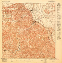 1947 Arecibo SO1947 Print · USGSArecibo’s rural landscape and sugar industry are captured here in the 1940s, just as modern infrastructure began to expand through the limestone hills. Researchers can trace the layout of Central Los Caños and local centers like Dominguito and La Esperanza.
 - 1947 Map of Utuado NE
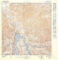 1947 Utuado NE1947 Print · USGSNorth of Utuado in the late 1940s, this landscape captures the vital water resources and hydroelectric power of the interior. Trace the rural school network at Escuela Jovales or study the shoreline developments near Lago Dos Bocas.
 - 1947 Map of Arecibo SE
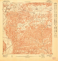 1947 Arecibo SE1947 Print · USGSThe limestone hills and river valleys southeast of Arecibo are captured here in the mid-1940s, showing the region's rural character. Genealogists can trace family footprints in Bajadero or locate the Escuela Segunda Unidad de Bajadero.
 - 1947 Map of Utuado NO
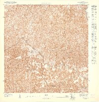 1947 Utuado NO1947 Print · USGSThe rural interior between Arecibo and Utuado is captured in the late 1940s, revealing a landscape defined by the winding Rio Grande De Arecibo. Researchers can trace old roads through the Bosque Estatal De Rio Abajo and locate the Iglesia San Pascual.
 - 1952 Map of Utuado, 1953 Print
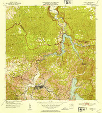 1952 Utuado1953 Print · USGSUtuado in the early fifties shows a mountain landscape transformed by hydroelectric power and the growing footprint of the town center. Local researchers can trace old barrios and landmarks such as Hacienda Carbonell, Iglesia San Pascual, and the expansive waters of Lago Dos Bocas.2 unique versions available
 - 1953 Map of Arecibo, 1954 Print
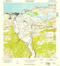 1953 Arecibo1954 Print · USGSArecibo and its coastal surroundings are shown in the early 1950s, a period when the sugar industry and railroads still shaped the local economy. Researchers can trace the lines of the American RR of Porto Rico connecting Central Cambalache and Central Los Caños with the coastal port.2 unique versions available
 - 1957 Map of Utuado
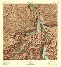 1957 Utuado1957 Print · USGSUtuado and the surrounding highlands are captured in the late fifties during a period of significant hydroelectric development. Researchers can locate family landmarks and rural communities such as Hacienda Carbonell, El Guano, and the Iglesia San Pascual.4 unique versions available
 - 1957 Map of Arecibo, 1961 Print
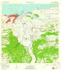 1957 Arecibo1961 Print · USGSPuerto Rico's northern coast comes alive in this mid-century survey, centered on the growing port and sugar economy. Researchers can trace the legacy of Central Cambalache, the old American Railroad, and landmarks like the Faro and Hospital Jefferson.
 - 1964 Map of Arecibo, 1968 Print
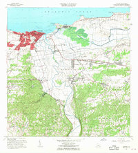 1964 Arecibo1968 Print · USGSMid-century Arecibo transitions from its historic coastal port to a bustling regional hub during the 1960s. Trace family roots and local industry through landmarks like Central Cambalache, the Faro, and the Aeropuerto de Arecibo.4 unique versions available
 - 1972 Map of Utuado, 1974 Print
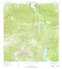 1972 Utuado1974 Print · USGSThe heart of Puerto Rico's central mountains comes into focus during the early seventies as the island’s interior infrastructure matured. Local historians can trace family-named landmarks like Hacienda Carbonell or locate rural parishes such as Iglesia San Pascual and Iglesia Santa Maria del Monte Carmelo.5 unique versions available
 - 2013 Map of Utuado, 2013 Print
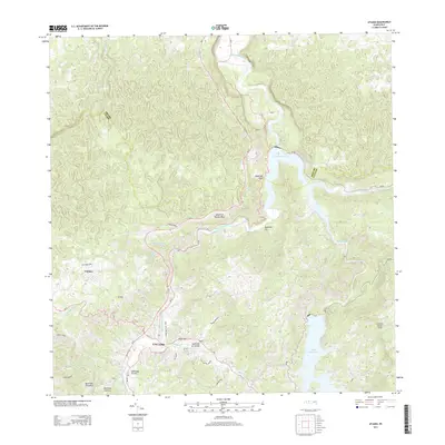 2013 Utuado2013 Print · USGSUtuado stands as a vital crossroads in the heart of the cordillera during the early twenty-first century. Researchers can trace the town’s urban expansion along Avenida Nueva and the expansive shorelines of Lago Dos Bocas and Lago Caonillas.
 - 2013 Map of Arecibo, 2013 Print
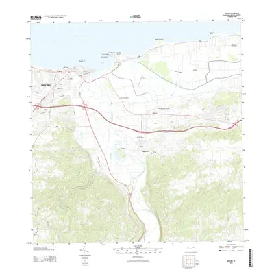 2013 Arecibo2013 Print · USGSThe northern coast of Puerto Rico is captured here in the early twenty-first century, centered on the historic port and the surrounding karst landscape. Researchers can trace the development of Arecibo and find landmarks like El Faro de Punta Morrillo and Central Cambalache.
 - 2018 Map of Arecibo, 2018 Print
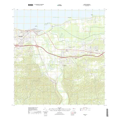 2018 Arecibo2018 Print · USGSArecibo and its northern coastline appear here in the late twenty-teens, showing the dense urban core and its surrounding river valleys. Trace the modern development of the region through the Antonio/Nery/Juarbe Pol Airport, the Ciénaga Tiburones wetlands, and Bajadero.
 - 2024 Map of Utuado, 2024 Print
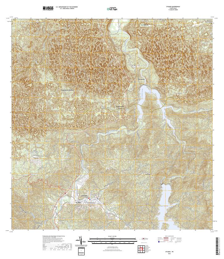 2024 Utuado2024 Print · USGSThe mountain interior of Puerto Rico is revealed here in the 2020s, centered on the historic town and its river-carved valleys. Researchers can trace the local infrastructure from the university to rural settlements near Lago Dos Bocas and Cayuco.
 - 2024 Map of Arecibo, 2024 Print
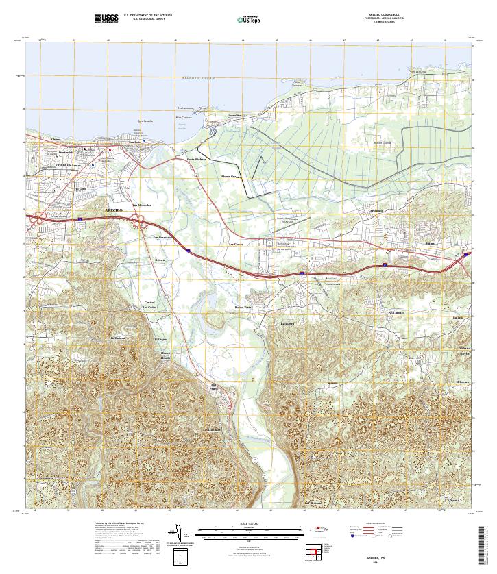 2024 Arecibo2024 Print · USGSCoastal Arecibo in the early twenty-first century exhibits a vibrant mix of urban university life and deep-rooted agricultural landscapes. Researchers can trace local heritage from the Cementerio Municipal de Arecibo to the industrial site at Central Los Caños.
End of results
Showing maps 1-19 of 19
Frequently asked questions
- What are the different types of historical maps available for Carreras?
- What is the oldest map of Carreras?
- Where can I purchase historical maps of Carreras for my home or office?
- Where can I download high-res historical maps of Carreras?
- Are there historical topographic maps available for Carreras?
- Is there historical aerial imagery available for Carreras?
- Where are historical maps of Carreras sourced from?