Old Maps of Esperanza, Arecibo for Hiking & Exploration
Hike through history with 32 historic maps of Esperanza. Explore old trails, ghost towns, and forgotten backroads — perfect for outdoor adventurers and local explorers.
- Rediscover forgotten places: Map out old mining camps, roads, and footpaths that no longer exist on modern maps.
- Layer with modern tools: Combine with LiDAR or satellite views to plan hikes through historical terrain.
- Made for exploration: Popular among hikers, overlanders, and local history lovers.
Use these maps to find adventure and explore the hidden past of Esperanza.
Esperanza, Arecibo maps
(32)- 1938 Map of Camuy
 1938 Camuy1938 Print · USGSCoastal life in northwest Puerto Rico during the late thirties is defined by the proximity of the American RR of Porto Rico to the sea. Genealogists and local historians can trace family roots through dozens of rural schools and churches like Escuela Juan L Pla and Iglesia Santa Teresita.
 - 1942 Map of Arecibo
 1942 Arecibo1942 Print · USGSCoastal Arecibo and its surrounding sugar lands appear in detail during the early 1940s, when the rail lines were the lifeblood of the region. Genealogists and historians can trace the neighborhoods of Arecibo or locate families near the Central Cambalache and Estacion Arecibo.2 unique versions available
 - 1942 Map of Camuy
 1942 Camuy1942 Print · USGSThe northern coast of Puerto Rico is seen here during the pre-war era, where the coastal railroad linked bustling towns to the agricultural interior. Genealogists can trace family footprints through rural neighborhoods like Pueblo Nuevo and landmarks such as Iglesia Santa Teresita or Estacion Luchi.6 unique versions available
 - 1946 Map of Utuado
 1946 Utuado1946 Print · USGSThe mountain town of Utuado is captured here in the mid-1940s, just as the landscape was being reshaped by major hydroelectric projects. Genealogists and historians can trace family roots at Hacienda Carbonell or locate local landmarks like Iglesia San Pascual and the Planta Hidroelectrica near Lago Dos Bocas.3 unique versions available
 - 1946 Map of Bayaney
 1946 Bayaney1946 Print · USGSThe interior highlands of Puerto Rico are detailed here in the late 1940s, showcasing a landscape of isolated ridges and river-valley settlements. Researchers can trace local history through named rural schools like Escuela La America and settlements such as Angeles and Bayaney.4 unique versions available
 - 1946 Map of Arecibo
 1946 Arecibo1946 Print · USGSThe industrial and coastal landscape of northern Puerto Rico is captured here just after the war. Local historians can trace the sugar economy through Central Cambalache, the American Railroad, and neighborhoods like Obrero and Miramar.3 unique versions available
 - 1947 Map of Arecibo SO
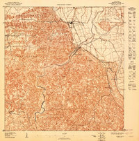 1947 Arecibo SO1947 Print · USGSArecibo’s rural landscape and sugar industry are captured here in the 1940s, just as modern infrastructure began to expand through the limestone hills. Researchers can trace the layout of Central Los Caños and local centers like Dominguito and La Esperanza.
 - 1947 Map of Utuado NO
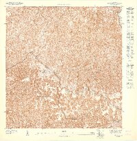 1947 Utuado NO1947 Print · USGSThe rural interior between Arecibo and Utuado is captured in the late 1940s, revealing a landscape defined by the winding Rio Grande De Arecibo. Researchers can trace old roads through the Bosque Estatal De Rio Abajo and locate the Iglesia San Pascual.
 - 1947 Map of Bayaney NE
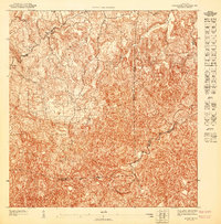 1947 Bayaney NE1947 Print · USGSThe northern interior of Puerto Rico is captured here in the mid-1940s, showing the dense settlement patterns around Bayaney. Local historians can trace early property boundaries and rural roads near the Tanama and the municipal junctions of Hatillo and Arecibo.
 - 1950 Map of Camuy SE
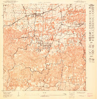 1950 Camuy SE1950 Print · USGSThe northern highlands of Hatillo and Arecibo are documented here at mid-century as traditional rural life meets new planning. Trace family lineages and local landmarks from Parcelas de Campo Alegre to the Estacion Cuchi rail stop.
 - 1952 Map of Bayaney
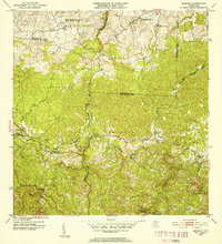 1952 Bayaney1952 Print · USGSThe mountains of north-central Puerto Rico appear in detail during the early fifties, showing a landscape defined by karst terrain and rural barrios. Genealogists can trace family footprints near Bayaney, Angeles, and family-named schools like Escuela Virgilio Acevedo.2 unique versions available
 - 1952 Map of Utuado, 1953 Print
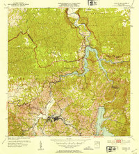 1952 Utuado1953 Print · USGSUtuado in the early fifties shows a mountain landscape transformed by hydroelectric power and the growing footprint of the town center. Local researchers can trace old barrios and landmarks such as Hacienda Carbonell, Iglesia San Pascual, and the expansive waters of Lago Dos Bocas.2 unique versions available
 - 1953 Map of Arecibo, 1954 Print
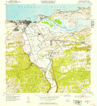 1953 Arecibo1954 Print · USGSArecibo and its coastal surroundings are shown in the early 1950s, a period when the sugar industry and railroads still shaped the local economy. Researchers can trace the lines of the American RR of Porto Rico connecting Central Cambalache and Central Los Caños with the coastal port.2 unique versions available
 - 1957 Map of Utuado
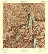 1957 Utuado1957 Print · USGSUtuado and the surrounding highlands are captured in the late fifties during a period of significant hydroelectric development. Researchers can locate family landmarks and rural communities such as Hacienda Carbonell, El Guano, and the Iglesia San Pascual.4 unique versions available
 - 1957 Map of Bayaney, 1960 Print
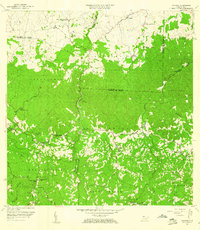 1957 Bayaney1960 Print · USGSNorthwestern Puerto Rico’s interior barrios are captured here during a period of steady rural development in the late fifties. Genealogists can locate family-named landmarks and institutions like Escuela Segunda Unidad de Josefa Linares, Iglesia Cristo Rey, and Matilde.2 unique versions available
 - 1957 Map of Camuy, 1960 Print
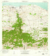 1957 Camuy1960 Print · USGSThe north coast of Puerto Rico is captured here in the late fifties, showing the development of coastal towns and rural hill settlements. Genealogists and historians can locate specific landmarks like Iglesia Santa Teresita, the Cementerio Municipal, and the winding course of the Río Camuy.2 unique versions available
 - 1957 Map of Arecibo, 1961 Print
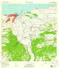 1957 Arecibo1961 Print · USGSPuerto Rico's northern coast comes alive in this mid-century survey, centered on the growing port and sugar economy. Researchers can trace the legacy of Central Cambalache, the old American Railroad, and landmarks like the Faro and Hospital Jefferson.
 - 1964 Map of Arecibo, 1968 Print
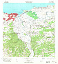 1964 Arecibo1968 Print · USGSMid-century Arecibo transitions from its historic coastal port to a bustling regional hub during the 1960s. Trace family roots and local industry through landmarks like Central Cambalache, the Faro, and the Aeropuerto de Arecibo.4 unique versions available
 - 1970 Map of Bayaney, 1973 Print
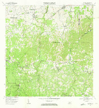 1970 Bayaney1973 Print · USGSThe limestone hills and river valleys south of Hatillo come to life in the early seventies, showing a landscape of coffee-country barrios and mountain schools. Trace ancestral roots through Angeles, Bayaney, and landmarks like the Observatorio de Arecibo.3 unique versions available
 - 1972 Map of Utuado, 1974 Print
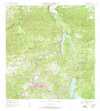 1972 Utuado1974 Print · USGSThe heart of Puerto Rico's central mountains comes into focus during the early seventies as the island’s interior infrastructure matured. Local historians can trace family-named landmarks like Hacienda Carbonell or locate rural parishes such as Iglesia San Pascual and Iglesia Santa Maria del Monte Carmelo.5 unique versions available
 - 1972 Map of Camuy, 1974 Print
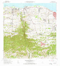 1972 Camuy1974 Print · USGSThe northern coast of Puerto Rico is shown here in the early seventies, spanning from the mouth of the Río Camuy to Radioville. Genealogists can trace family footprints through the Cementerio Municipal and local schools like the Escuela Manuel A Rivera.3 unique versions available
 - 2013 Map of Utuado, 2013 Print
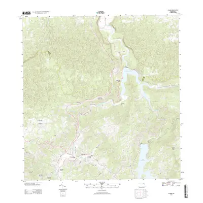 2013 Utuado2013 Print · USGSUtuado stands as a vital crossroads in the heart of the cordillera during the early twenty-first century. Researchers can trace the town’s urban expansion along Avenida Nueva and the expansive shorelines of Lago Dos Bocas and Lago Caonillas.
 - 2013 Map of Arecibo, 2013 Print
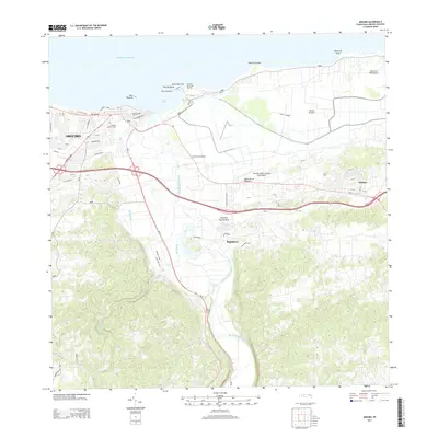 2013 Arecibo2013 Print · USGSThe northern coast of Puerto Rico is captured here in the early twenty-first century, centered on the historic port and the surrounding karst landscape. Researchers can trace the development of Arecibo and find landmarks like El Faro de Punta Morrillo and Central Cambalache.
 - 2013 Map of Bayaney, 2013 Print
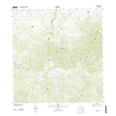 2013 Bayaney2013 Print · USGSThe northern karst region of Puerto Rico is captured here in the early twenty-first century, showing the intersection of science and rural life. Researchers can locate the iconic Observatorio de Arecibo and dramatic geological features like the Tres Pueblos Sinkhole and Cerro Palma.
 - 2013 Map of Camuy, 2013 Print
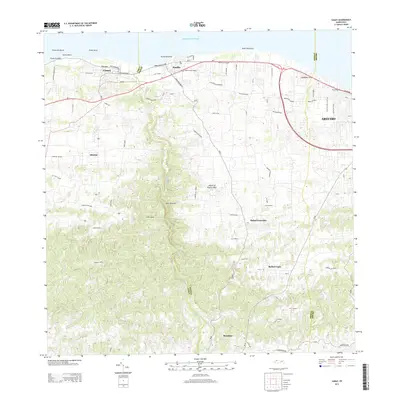 2013 Camuy2013 Print · USGSCoastal life and the karst interior of northern Puerto Rico come into focus in this early twenty-first-century survey. Genealogists and researchers can trace the growth of Camuy and Hatillo, or locate inland communities such as Bayaney, Alianza, and Rafael Capó.
Showing maps 1-25 of 32
Frequently asked questions
- What are the different types of historical maps available for Esperanza?
- What is the oldest map of Esperanza?
- Where can I purchase historical maps of Esperanza for my home or office?
- Where can I download high-res historical maps of Esperanza?
- Are there historical topographic maps available for Esperanza?
- Is there historical aerial imagery available for Esperanza?
- Where are historical maps of Esperanza sourced from?