2000s (21st Century) Maps of Cabo Rojo
Explore 15 historic maps of Cabo Rojo from the 2000s (21st Century). These maps offer a rare glimpse into what life looked like during the 2000s — showing old roads, neighborhoods, homes, and landmarks that have changed or disappeared over time.
Whether you're researching your family's past, planning a metal detecting trip, or studying how Cabo Rojo's landscape evolved across the 2000s, these high-resolution maps are a powerful tool for exploring the history of this region.
- Focus on a specific era: All maps on this page are from the 2000s, giving you a focused view of this time period.
- See what’s changed: Compare century-old streets, trails, and buildings to today's modern landscape using overlays and satellite layers.
- Research with precision: Use these maps for genealogy, historical research, land use analysis, or educational projects.
- View, download, or print: Maps are fully viewable online in high resolution, and can be downloaded or printed for your own records.
Start exploring Cabo Rojo's history through authentic maps from the 2000s. This is your window into the past.
Cabo Rojo maps
(15)- 2013 Map of Cabo Rojo, 2013 Print
 2013 Cabo Rojo2013 Print · USGSCovers Cabo Rojo, including La Pitahaya, Urbanización Paseo Cofresí, and other nearby areas
 - 2013 Map of Mayaguez, 2013 Print
 2013 Mayaguez2013 Print · USGSCovers Cabo Rojo, including Mayagüez, Hormigueros, and other nearby areas
 - 2013 Map of Puerto Real, 2013 Print
 2013 Puerto Real2013 Print · USGSCovers Cabo Rojo, including Reparto Vista Verde, Villa Tortuga, and other nearby areas
 - 2013 Map of San German, 2013 Print
 2013 San German2013 Print · USGSCovers Cabo Rojo, including San Germán, Lajas, and other nearby areas
 - 2013 Map of Parguera, 2013 Print
 2013 Parguera2013 Print · USGSCovers Cabo Rojo, including Villa Caribe, Lajas, and other nearby areas
 - 2018 Map of San German, 2018 Print
 2018 San German2018 Print · USGSCovers Cabo Rojo, including San Germán, Lajas, and other nearby areas
 - 2018 Map of Puerto Real, 2018 Print
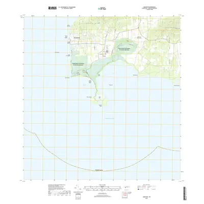
 2018 Puerto Real2018 Print · USGSCovers Cabo Rojo, including Reparto Vista Verde, Villa Tortuga, and other nearby areas
 - 2018 Map of Mayaguez, 2018 Print
 2018 Mayaguez2018 Print · USGSCovers Cabo Rojo, including Mayagüez, Hormigueros, and other nearby areas
 - 2018 Map of Parguera, 2018 Print
 2018 Parguera2018 Print · USGSCovers Cabo Rojo, including Villa Caribe, Lajas, and other nearby areas
 - 2018 Map of Cabo Rojo, 2018 Print
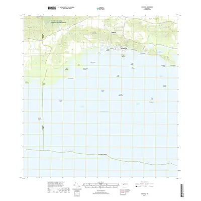
 2018 Cabo Rojo2018 Print · USGSCovers Cabo Rojo, including La Pitahaya, Urbanización Paseo Cofresí, and other nearby areas
 - 2024 Map of San German, 2024 Print
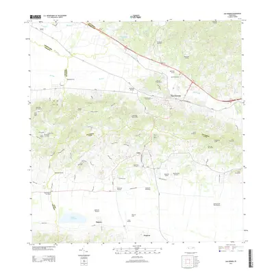
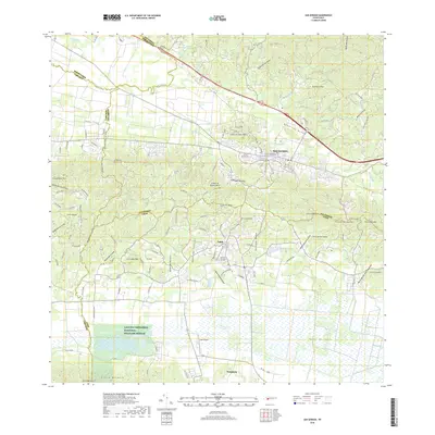
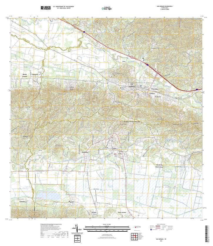 2024 San German2024 Print · USGSSan Germán and the surrounding Lajas Valley are depicted in detail during the early twenty-first century. Researchers can trace the layout of the Universidad Interamericana and locate family sites near Sabana Eneas or the Lajas Cemetery.
 - 2024 Map of Parguera, 2024 Print
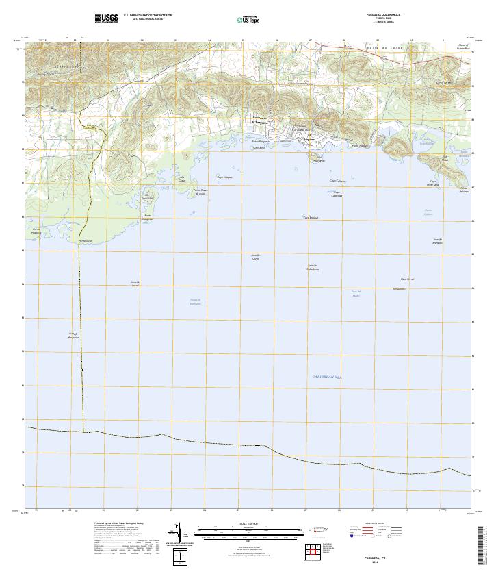 2024 Parguera2024 Print · USGSThe southwestern coast of Puerto Rico comes alive in this contemporary survey of the Lajas shoreline and its famous bioluminescent waters. Maritime researchers and locals can trace the intricate reef systems from Arrecife Media Luna to the keys surrounding La Parguera.
 - 2024 Map of Cabo Rojo, 2024 Print
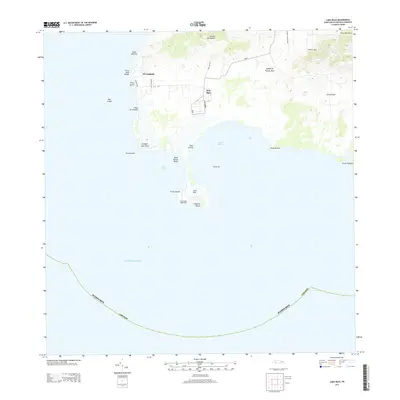
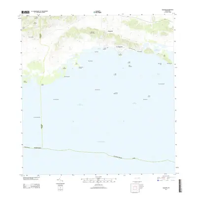
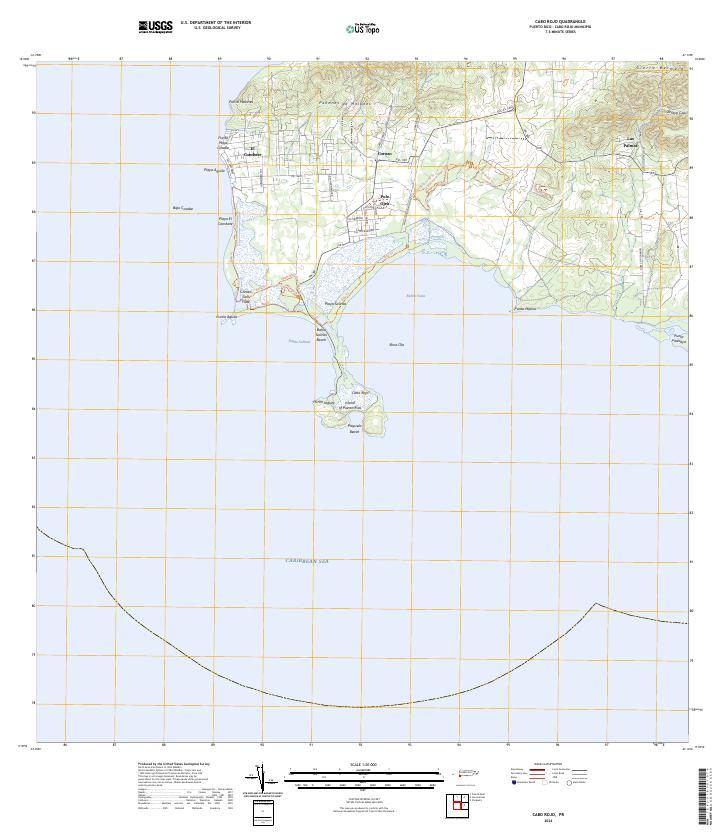 2024 Cabo Rojo2024 Print · USGSThe southwestern tip of Puerto Rico is captured here in detail, showcasing the unique intersection of salt production and coastal conservation. Researchers can trace the boundaries of the Cabo Rojo National Wildlife Refuge and locate the Corozo Salt Flats alongside local settlements like Pole Ojea.
 - 2024 Map of Mayaguez, 2024 Print
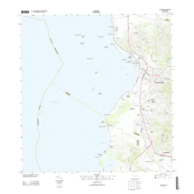
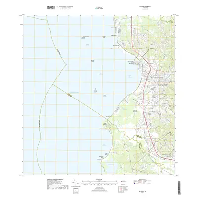
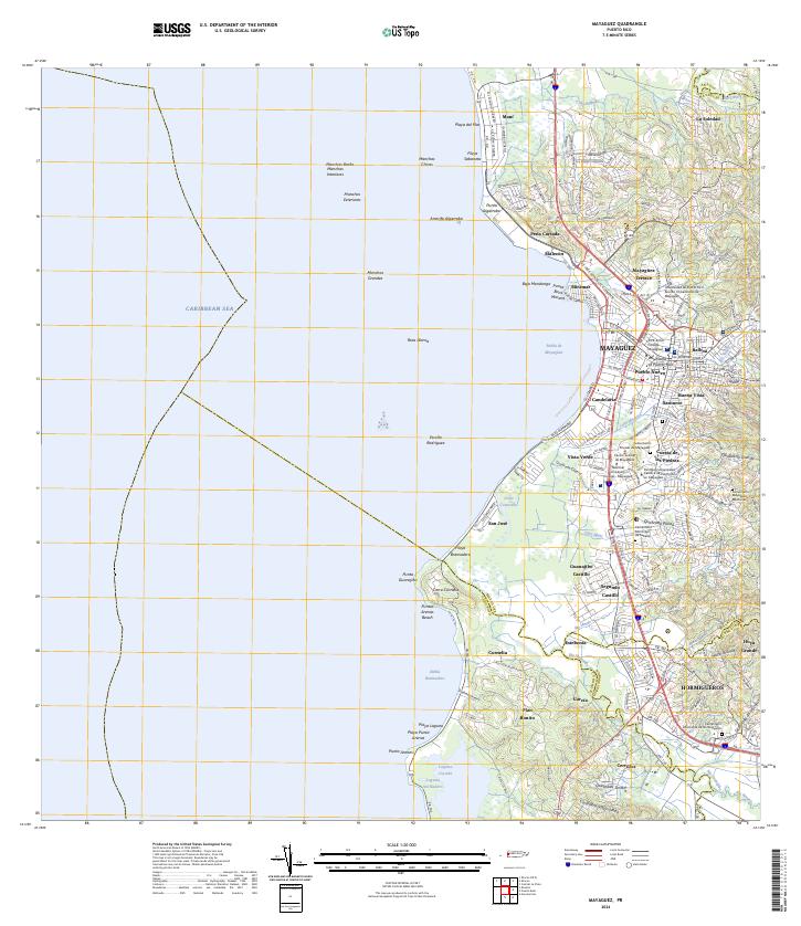 2024 Mayaguez2024 Print · USGSWestern Puerto Rico's coastal urban centers and river valleys are captured here in modern detail. Local historians can trace the growth of Mayagüez and Hormigueros, or locate the Cementerio Municipal de Mayagüez and Laguna Joyuda.
 - 2024 Map of Puerto Real, 2024 Print
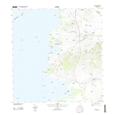
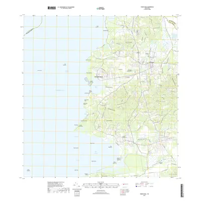
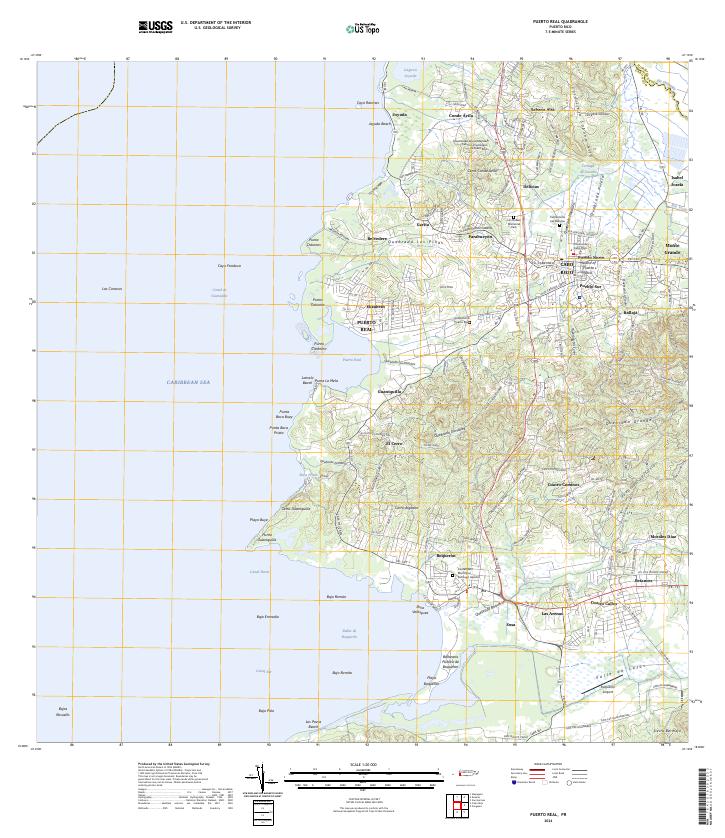 2024 Puerto Real2024 Print · USGSCabo Rojo and the western coastline of Puerto Rico are shown here in recent detail, from the urban center to the turquoise Caribbean shores. Researchers can trace local neighborhoods like Pueblo Norte, locate the Boquerón Airport, or find the Cementerio Puerto Real.
End of results
Showing maps 1-15 of 15
Frequently asked questions
- What are the different types of historical maps available for Cabo Rojo?
- What is the oldest map of Cabo Rojo?
- Where can I purchase historical maps of Cabo Rojo for my home or office?
- Where can I download high-res historical maps of Cabo Rojo?
- Are there historical topographic maps available for Cabo Rojo?
- Is there historical aerial imagery available for Cabo Rojo?
- Where are historical maps of Cabo Rojo sourced from?