Old Maps of Soroco, Fajardo for Academic Research
Study the evolution of Soroco with 6 high-resolution historic maps. Whether you're teaching, researching, or modeling changes in land use, these maps provide essential visual documentation of urban, environmental, and geographic change.
- Analyze long-term change: Track patterns in development, transportation, and natural features.
- Ideal for environmental or urban studies: Support academic projects with primary historical map data.
- Use in the classroom or lab: Educators and researchers rely on these maps to bring historical context to life.
These maps are a powerful tool for teaching, research, and visualizing how Soroco has changed over the decades.
Soroco, Fajardo maps
(6)- 1945 Map of Cayo Icacos
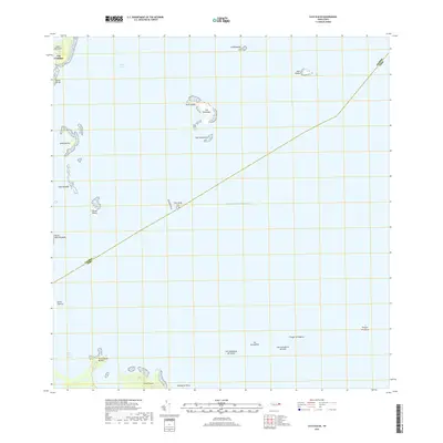
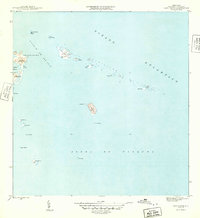 1945 Cayo Icacos1945 Print · USGSThe waters off Fajardo in the mid-1940s reveal a complex archipelago of reefs and keys vital to Caribbean navigation. Maritime researchers can trace the coastal landmarks and tiny islands from Cabezas De San Juan to Isla Palomino and Cayo Icacos.
 - 1952 Map of Cayo Icacos, 1953 Print
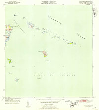 1952 Cayo Icacos1953 Print · USGSThe northeastern coastline of Puerto Rico is mapped here in the early fifties, detailing the reefs and keys of the Fajardo coast. Nautical researchers and historians can locate the Faro de Cabo San Juan and trace the small cays of the Cordillera and Isla Palominos.2 unique versions available
 - 1958 Map of Cayo Icacos, 1960 Print
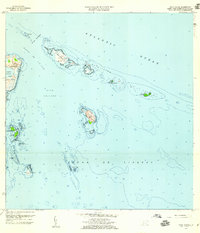 1958 Cayo Icacos1960 Print · USGSThe northeastern coast of Puerto Rico and its offshore cays are captured here in the late fifties, showcasing the area's intricate maritime geography. Researchers can trace the reefs and islands of La Cordillera and locate the iconic Faro de Cabo San Juan and Isla Palominos.4 unique versions available
 - 2013 Map of Cayo Icacos, 2013 Print
 2013 Cayo Icacos2013 Print · USGSCovers Soroco, including Fajardo, Quebrada Vueltas, and other nearby areas
 - 2018 Map of Cayo Icacos, 2018 Print
 2018 Cayo Icacos2018 Print · USGSCovers Soroco, including Fajardo, Quebrada Vueltas, and other nearby areas
 - 2024 Map of Cayo Icacos, 2024 Print
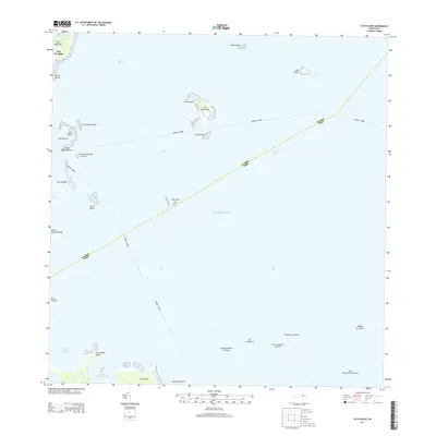
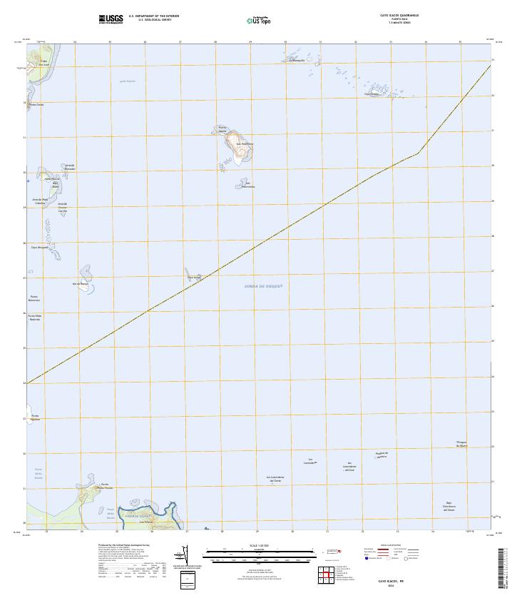 2024 Cayo Icacos2024 Print · USGSCoastal Fajardo and its surrounding islands appear here in contemporary detail, showing the intricate reefs and keys of the eastern shore. Boaters and historians can trace the geography of Isleta Marina, Isla Palominos, and the rugged Pineros Island.
End of results
Showing maps 1-6 of 6
Frequently asked questions
- What are the different types of historical maps available for Soroco?
- What is the oldest map of Soroco?
- Where can I purchase historical maps of Soroco for my home or office?
- Where can I download high-res historical maps of Soroco?
- Are there historical topographic maps available for Soroco?
- Is there historical aerial imagery available for Soroco?
- Where are historical maps of Soroco sourced from?