Old Maps of Gurabo Abajo, Juncos for Academic Research
Study the evolution of Gurabo Abajo with 20 high-resolution historic maps. Whether you're teaching, researching, or modeling changes in land use, these maps provide essential visual documentation of urban, environmental, and geographic change.
- Analyze long-term change: Track patterns in development, transportation, and natural features.
- Ideal for environmental or urban studies: Support academic projects with primary historical map data.
- Use in the classroom or lab: Educators and researchers rely on these maps to bring historical context to life.
These maps are a powerful tool for teaching, research, and visualizing how Gurabo Abajo has changed over the decades.
Gurabo Abajo, Juncos maps
(20)- 1946 Map of Gurabo
 1946 Gurabo1946 Print · USGSThe foothills and river valleys of northeastern Puerto Rico come alive in this post-war survey. Genealogists can locate family-named landmarks and rural centers like Trujillo Bajo, Campo Rico, and the Escuela Segunda Unidad de Cacao.3 unique versions available
 - 1946 Map of Juncos
 1946 Juncos1946 Print · USGSEastern Puerto Rico’s agricultural heartland is documented here in the mid-1940s, centered on the growing municipalities of Juncos and San Lorenzo. Genealogists and researchers can trace local family lands near the Escuela Segunda Unidad de Quebrada Honda and the fields of Eastern Sugar Associates.3 unique versions available
 - 1947 Map of Gurabo SE
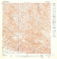 1947 Gurabo SE1947 Print · USGSEastern Puerto Rico’s interior ridges and river valleys are captured here in the mid-1940s, just as the sugar economy still shaped local transit. Genealogists and historians can trace the settlement at Las Piñas and the sprawling footprint of Eastern Sugar Associates near the Río Gurabo.
 - 1947 Map of Juncos NE
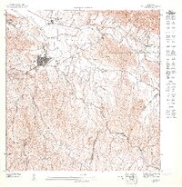 1947 Juncos NE1947 Print · USGSJuncos and its surrounding sugar lands are captured here in the late 1940s, just after the war. Researchers can trace the industrial footprint of the Central Juncos mill and the rail lines of Eastern Sugar Associates along the Río Gurabo.
 - 1947 Map of Gurabo SO
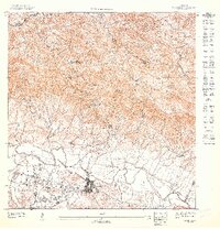 1947 Gurabo SO1947 Print · USGSGurabo and the surrounding valley appear in this 1940s survey during the height of the island's agricultural era. Genealogists and historians can trace local landmarks like Gurabo, the rural Escuela Segunda Unidad de Quebrada Infierno, and the Military Reservation.
 - 1947 Map of Juncos NO
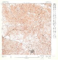 1947 Juncos NO1947 Print · USGSSan Lorenzo and the surrounding highlands are captured in detail just after the war, showing the area's transition into the mid-century. Researchers can trace the early town grid near the Río Grande de Loíza or locate rural homesteads in Cantagallo.
 - 1952 Map of Gurabo, 1953 Print
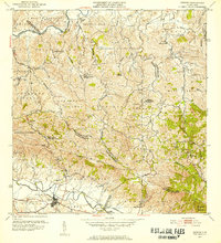 1952 Gurabo1953 Print · USGSThe valleys and peaks of eastern Puerto Rico are captured here in the early fifties, showing the rural development of the Gurabo region. Genealogists and historians can trace local family landmarks and community hubs like Trujillo Bajo, Escuela Manuel Agosto, and the Cementerio Rural de Gurabo.2 unique versions available
 - 1952 Map of Juncos, 1953 Print
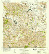 1952 Juncos1953 Print · USGSEastern Puerto Rico in the early fifties reveals a landscape of sugar production and mountain mining. Genealogists and historians can trace family roots through the barrio sectors of Juncos and San Lorenzo or locate the Mina de Hierro and Central Juncos.2 unique versions available
 - 1955 Map of Gurabo, 1956 Print
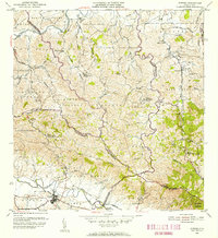 1955 Gurabo1956 Print · USGSMid-century Gurabo and the surrounding highlands are captured here during a period of agricultural and educational expansion. Genealogists and historians can trace family roots through labeled landmarks like Trujillo Bajo, Escuela Abraham Lincoln, and the Cementerio Rural de Gurabo.
 - 1957 Map of Gurabo, 1959 Print
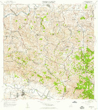 1957 Gurabo1959 Print · USGSThe Puerto Rican interior near the confluence of the Rio Gurabo and Rio Grande de Loiza comes alive in this late 1950s survey. Researchers can trace rural lineages through the Cementerio Rural de Carruzos and local schools like Escuela Manuel Lebron.
 - 1958 Map of Juncos, 1960 Print
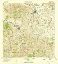 1958 Juncos1960 Print · USGSJuncos and San Lorenzo are captured here during a period of industrial sugar production and rural educational growth. Genealogists can locate family landmarks like Escuela Fraternidad Humana, the Central Juncos mill, and the inactive mine near Gurabo Arriba.
 - 1962 Map of Gurabo, 1965 Print
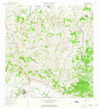 1962 Gurabo1965 Print · USGSThe valleys and peaks of eastern Puerto Rico are captured here in the early sixties, showing the vital waterways of the Río Gurabo. Local historians can trace family locations at settlements like Mariana and Maria Jiménez or locate the Cementerio Rural de Gurabo.
 - 1967 Map of Juncos, 1969 Print
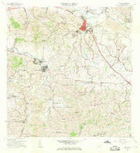 1967 Juncos1969 Print · USGSJuncos and the surrounding valley are captured in the late sixties, showcasing the intersection of industrial sites and dozens of rural schools. Researchers can trace the layout of Central Juncos, locate the Iglesia de la Placita, or find family-named sites like Escuela Manuel Torres.5 unique versions available
 - 1969 Map of Gurabo, 1972 Print
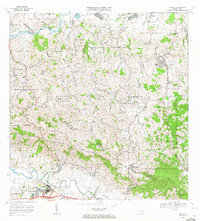 1969 Gurabo1972 Print · USGSEastern Puerto Rico's river valleys and mountain peaks are captured here in the late sixties. Genealogists and historians can trace the Via del Ferrocarril near Gurabo or locate family sites like María Jiménez and the Cementerio Rural de Gurabo.2 unique versions available
 - 2013 Map of Juncos, 2013 Print
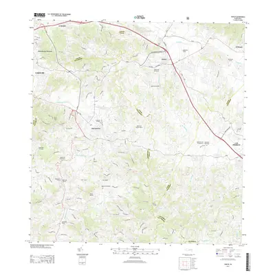 2013 Juncos2013 Print · USGSEastern Puerto Rico’s interior comes into focus here, showing the municipalities of San Lorenzo and Juncos as they appeared in the early 2010s. Researchers can trace family history at Cementerio el Ramaso and locate local landmarks such as Piedra Blanca or Cerro Santa Ana.
 - 2013 Map of Gurabo, 2013 Print
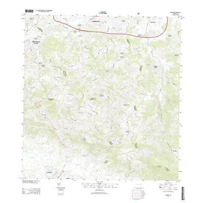 2013 Gurabo2013 Print · USGSThe municipalities of eastern Puerto Rico are shown here in the early twenty-first century, as urban growth met the island's interior hills. Researchers can trace local landmarks and infrastructure from the Cementerio Rural de Gurabo to the settlements of Campo Rico and Chuchilla de Hato Nuevo.
 - 2018 Map of Gurabo, 2018 Print
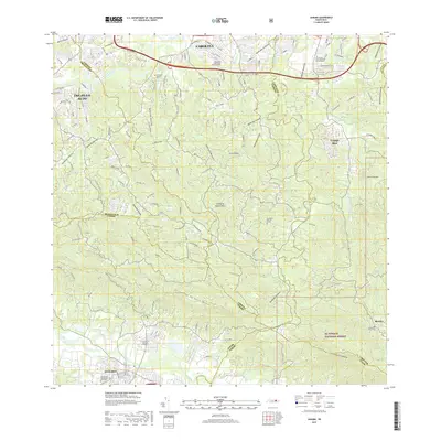 2018 Gurabo2018 Print · USGSThe interior of Puerto Rico is mapped here in the late twenty-tens, showing the intersection of growing municipalities and the edge of El Yunque National Forest. Researchers can find numerous local landmarks including Borinquen Memorial Park III and several rural burial grounds like Cementerio Rural Cubuy.
 - 2018 Map of Juncos, 2018 Print
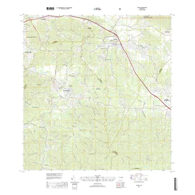 2018 Juncos2018 Print · USGSPuerto Rico's interior valleys and foothills are captured here in 2018 as they transition from the busy centers of Juncos and San Lorenzo to the forest edge. Local historians can trace family sites at Cementerio Municipal Viejo de Juncos or explore the rural reaches of Piedra Blanca and El Mangó.
 - 2024 Map of Juncos, 2024 Print
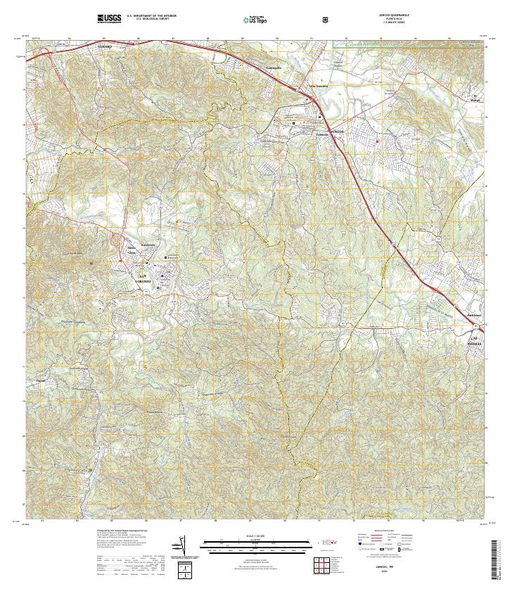 2024 Juncos2024 Print · USGSEastern Puerto Rico’s interior valleys and foothills are captured in this contemporary record of the Juncos and San Lorenzo region. Genealogists and local historians can trace modern urban growth alongside established sites like Central Juncos, Cementerio Municipal Viejo, and the Tribunal de San Lorenzo.
 - 2024 Map of Gurabo, 2024 Print
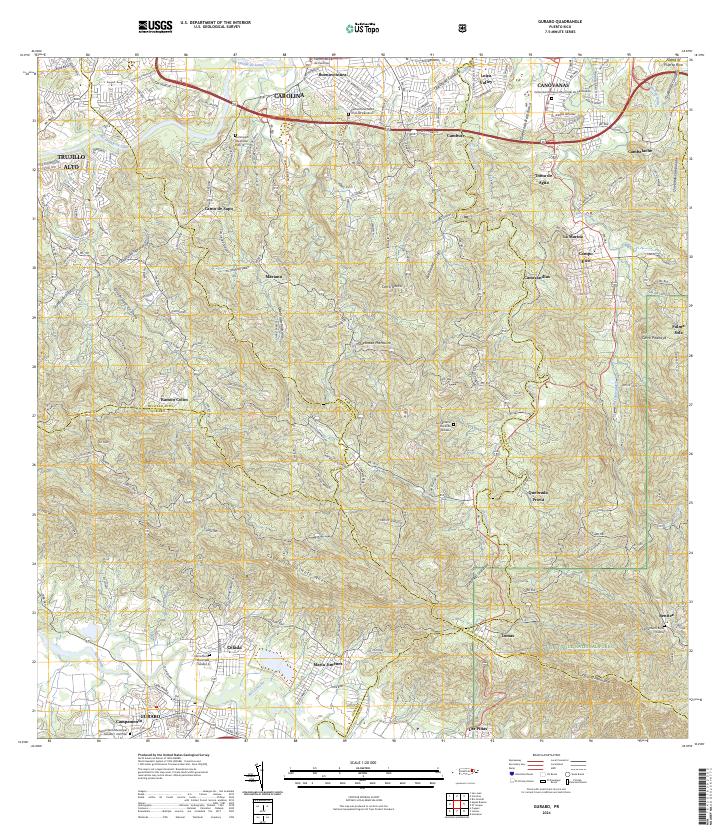 2024 Gurabo2024 Print · USGSThe foothills of northeast Puerto Rico meet the edge of the national rainforest in this recent survey. Local historians can trace the growth of Carolina and Canóvanas or locate local landmarks like Cementerio Rural de Gurabo and Cerro Gordo.
End of results
Showing maps 1-20 of 20
Frequently asked questions
- What are the different types of historical maps available for Gurabo Abajo?
- What is the oldest map of Gurabo Abajo?
- Where can I purchase historical maps of Gurabo Abajo for my home or office?
- Where can I download high-res historical maps of Gurabo Abajo?
- Are there historical topographic maps available for Gurabo Abajo?
- Is there historical aerial imagery available for Gurabo Abajo?
- Where are historical maps of Gurabo Abajo sourced from?