Old Maps of Isla de Mona e Islote Monito, Mayagüez for Academic Research
Study the evolution of Isla de Mona e Islote Monito with 10 high-resolution historic maps. Whether you're teaching, researching, or modeling changes in land use, these maps provide essential visual documentation of urban, environmental, and geographic change.
- Analyze long-term change: Track patterns in development, transportation, and natural features.
- Ideal for environmental or urban studies: Support academic projects with primary historical map data.
- Use in the classroom or lab: Educators and researchers rely on these maps to bring historical context to life.
These maps are a powerful tool for teaching, research, and visualizing how Isla de Mona e Islote Monito has changed over the decades.
Isla de Mona e Islote Monito, Mayagüez maps
(10)- 1944 Map of Isla Mona, 1963 Print
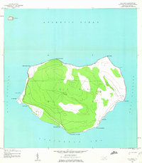 1944 Isla Mona1963 Print · USGSMona Island and its smaller neighbor Isla Monito appear here during the mid-forties, detailing a landscape of coastal cliffs and interior trails. Researchers can locate the Faro, the Aerodromo Emergencia, and landing sites like Anclaje Sardinero.2 unique versions available
 - 2013 Map of Isla de Mona OE N, 2013 Print
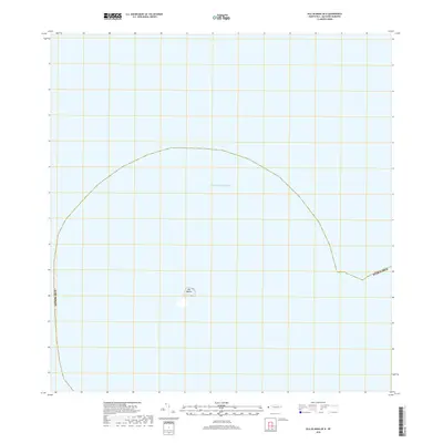
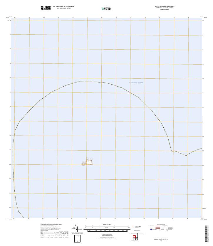
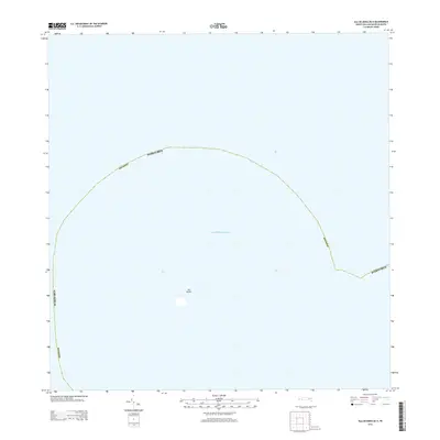 2013 Isla de Mona OE N2013 Print · USGSCovers Isla de Mona e Islote Monito, including Mayagüez, Puerto Rico, and other nearby areas
 - 2013 Map of Isla de Mona, 2013 Print
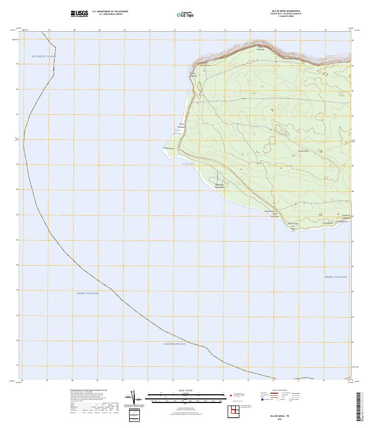
 2013 Isla de Mona2013 Print · USGSCovers Isla de Mona e Islote Monito, including Sardinera, Uvero, and other nearby areas
 - 2013 Map of Isla de Mona OE E, 2013 Print
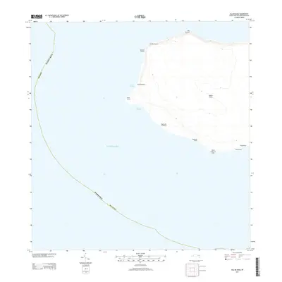
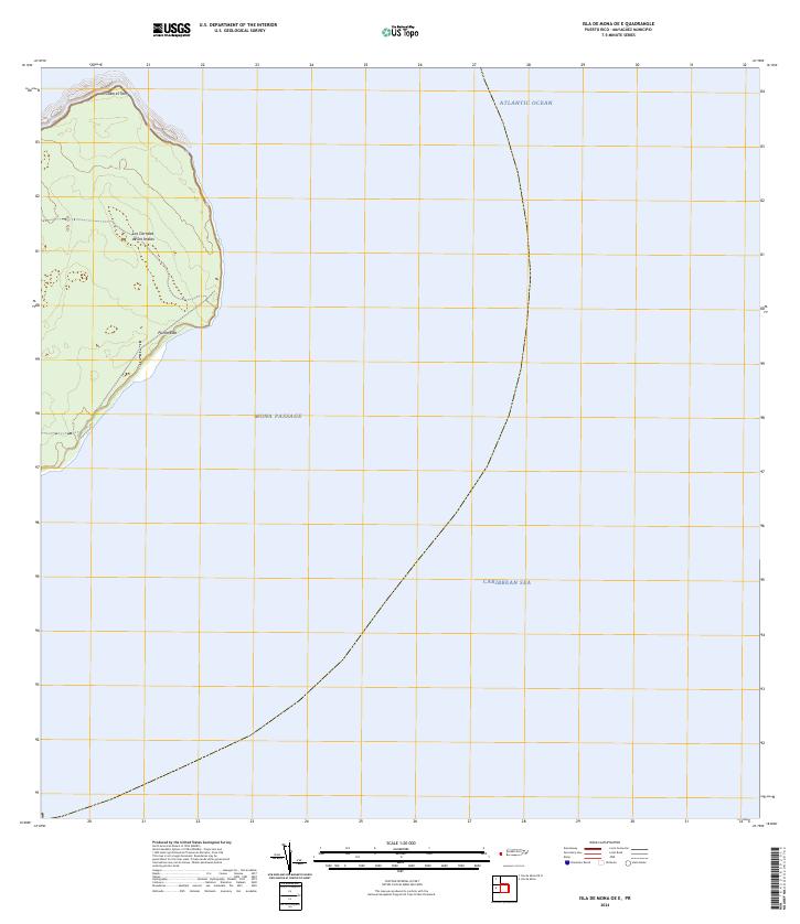
 2013 Isla de Mona OE E2013 Print · USGSCovers Isla de Mona e Islote Monito, including El Faro, Pájaros, and other nearby areas
 - 2018 Map of Isla de Mona OE E, 2018 Print
 2018 Isla de Mona OE E2018 Print · USGSCovers Isla de Mona e Islote Monito, including El Faro, Pájaros, and other nearby areas
 - 2018 Map of Isla de Mona OE N, 2018 Print
 2018 Isla de Mona OE N2018 Print · USGSCovers Isla de Mona e Islote Monito, including Mayagüez, Puerto Rico, and other nearby areas
 - 2018 Map of Isla de Mona, 2018 Print
 2018 Isla de Mona2018 Print · USGSCovers Isla de Mona e Islote Monito, including Sardinera, Uvero, and other nearby areas
 - 2024 Map of Isla de Mona, 2024 Print
 2024 Isla de Mona2024 Print · USGSIsla de Mona stands at the maritime crossroads of the Caribbean and Atlantic in this recent topographic survey. Boaters and researchers can trace the coastal landings and rugged points of the island, from the Anclaje Sardinera to the strikingly named Punta Caigo o no Caigo.
 - 2024 Map of Isla de Mona OE N, 2024 Print
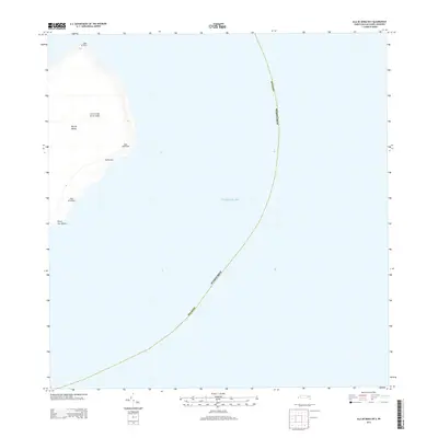
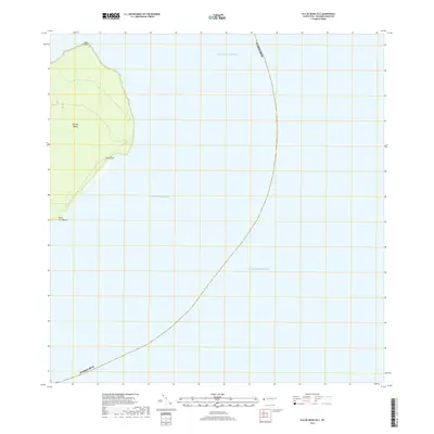
 2024 Isla de Mona OE N2024 Print · USGSThe isolated limestone cliffs of the Mona Passage are documented in this recent survey. Researchers can trace the exact perimeter and topographic contours of Isla Monito as it sits surrounded by the Atlantic Ocean.
 - 2024 Map of Isla de Mona OE E, 2024 Print
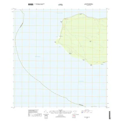
 2024 Isla de Mona OE E2024 Print · USGSMona Island sits at the maritime crossroads of the Caribbean and Atlantic during this recent survey. Researchers can trace the rugged eastern coastline from Cabo el Toro down to Punta Este and locate the historic Los Corrales de los Indios.
End of results
Showing maps 1-10 of 10
Frequently asked questions
- What are the different types of historical maps available for Isla de Mona e Islote Monito?
- What is the oldest map of Isla de Mona e Islote Monito?
- Where can I purchase historical maps of Isla de Mona e Islote Monito for my home or office?
- Where can I download high-res historical maps of Isla de Mona e Islote Monito?
- Are there historical topographic maps available for Isla de Mona e Islote Monito?
- Is there historical aerial imagery available for Isla de Mona e Islote Monito?
- Where are historical maps of Isla de Mona e Islote Monito sourced from?