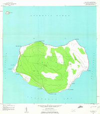
1944 Map of Isla Mona
USGS Topo · Published 1963About this map
Isla Mona rises from the deep waters between Puerto Rico and the Dominican Republic, captured here during the mid-1940s when its strategic location in the Mona Passage was of significant interest to the Army Map Service. The landscape is defined by its sheer coastal cliffs and a plateau interior crisscrossed by a network of trails. Coastal landmarks indicate the island's maritime and operational utility, including the Faro (lighthouse) on the eastern point and the Aerodromo Emergencia on the western shore near Punta Oeste. Natural features like Cueva de Frio and the beach at Playa Pajaro suggest a terrain of limestone caves and small, isolated coves. This survey also includes the small satellite island of Isla Monito to the northwest, emphasizing the isolation of this Caribbean outpost.
Find a feature on this map
20 named features on this map. Tap any name to fly to it.
Don’t see what you’re looking for? This feature index may not catch every label — zoom into the map to look around manually.
Map Details
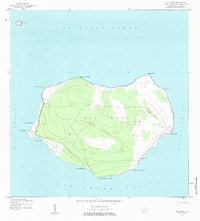
Editions of this 1944 Isla Mona Map
2 editions found
Other maps of this area
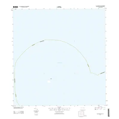
2013 · Isla de Mona OE N
USGS Topo · 1:20,000
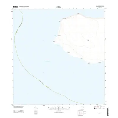
2013 · Isla de Mona
USGS Topo · 1:20,000
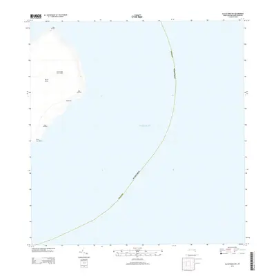
2013 · Isla de Mona OE E
USGS Topo · 1:20,000
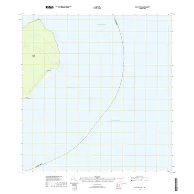
2018 · Isla de Mona OE E
USGS Topo · 1:20,000
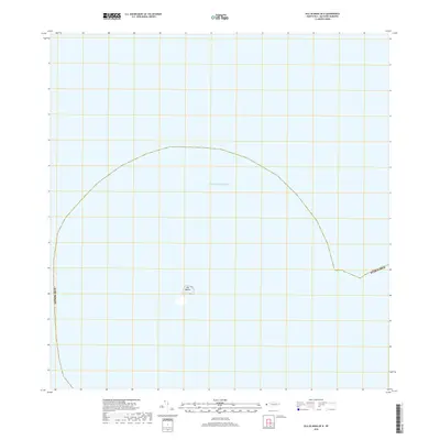
2018 · Isla de Mona OE N
USGS Topo · 1:20,000
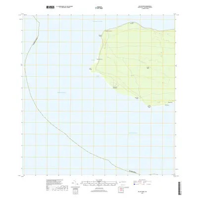
2018 · Isla de Mona
USGS Topo · 1:20,000
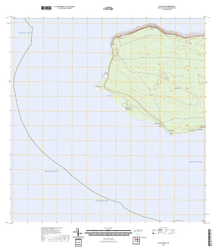
2024 · Isla de Mona
USGS Topo · 1:20,000
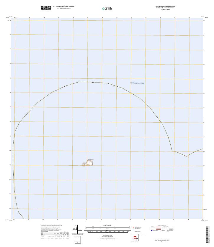
2024 · Isla de Mona OE N
USGS Topo · 1:20,000
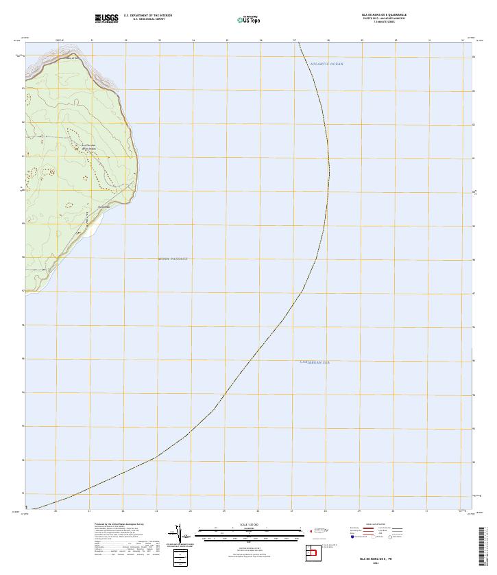
2024 · Isla de Mona OE E
USGS Topo · 1:20,000