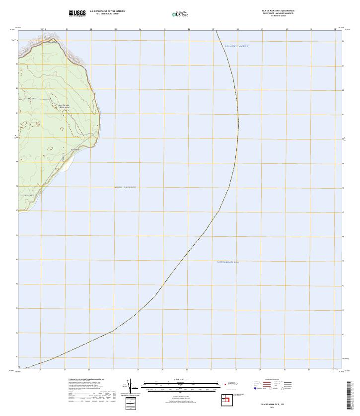
2024 Map of Isla de Mona OE E
USGS Topo · Published 2024About this map
Punta Este marks the easternmost reach of Mona Island in this modern topographic survey, where the terrestrial landscape of Puerto Rico meets the vast expanse of the Mona Passage. This transition zone is characterized by the confluence of the Atlantic Ocean to the north and the Caribbean Sea to the south. The interior terrain includes the curiously named Los Corrales de los Indios, a site of significant archaeological and historical interest. To the north, the coastline is defined by Cabo el Toro, highlighting the island's strategic and isolated position between the Dominican Republic and the main island of Puerto Rico. The map illustrates a landscape largely preserved in its natural state, showing only the most prominent coastal landmarks and the intricate contour lines of the island's plateau.
Find a feature on this map
6 named features on this map. Tap any name to fly to it.
Don’t see what you’re looking for? This feature index may not catch every label — zoom into the map to look around manually.
Map Details
Editions of this 2024 Isla de Mona OE E Map
This is the sole edition of this map. No revisions or reprints were ever made.
Other maps of this area
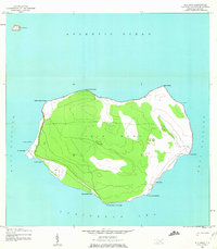
1944 · Isla Mona
USGS Topo · 1:20,000
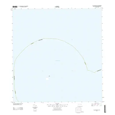
2013 · Isla de Mona OE N
USGS Topo · 1:20,000
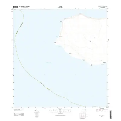
2013 · Isla de Mona
USGS Topo · 1:20,000
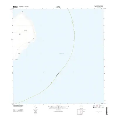
2013 · Isla de Mona OE E
USGS Topo · 1:20,000
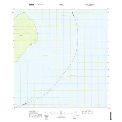
2018 · Isla de Mona OE E
USGS Topo · 1:20,000
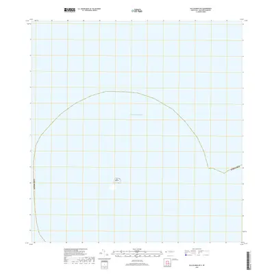
2018 · Isla de Mona OE N
USGS Topo · 1:20,000
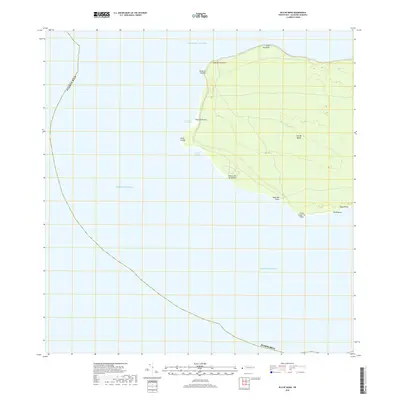
2018 · Isla de Mona
USGS Topo · 1:20,000
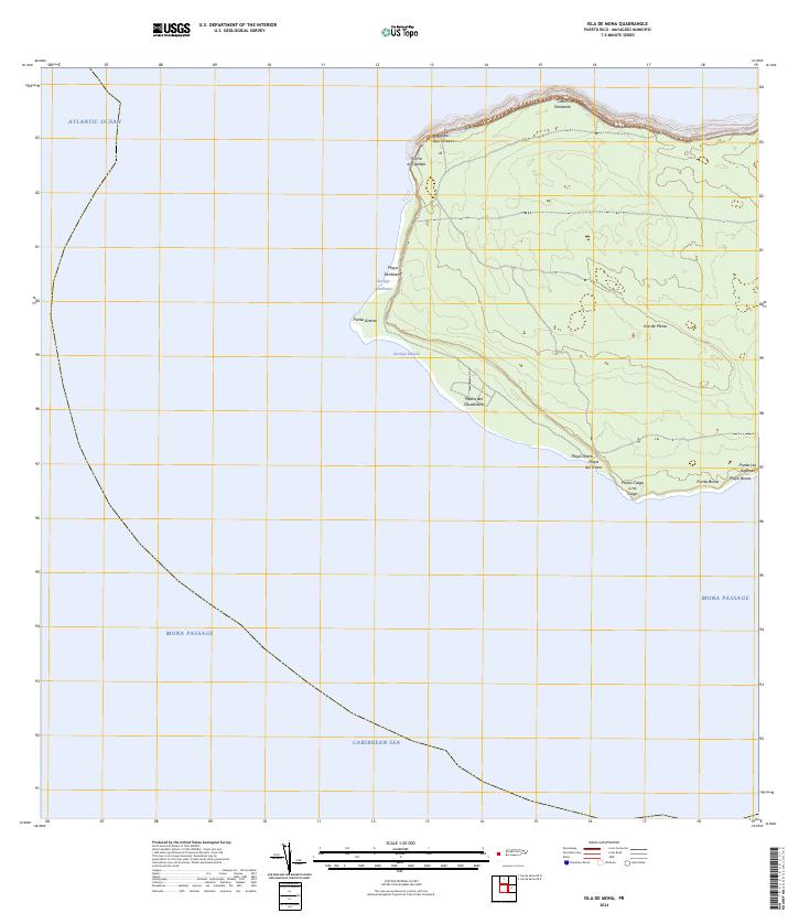
2024 · Isla de Mona
USGS Topo · 1:20,000
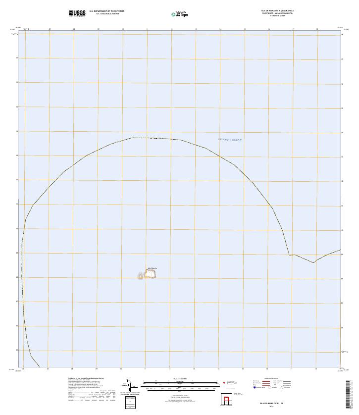
2024 · Isla de Mona OE N
USGS Topo · 1:20,000