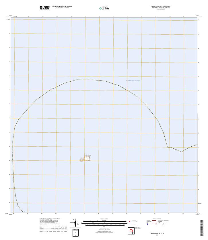
2024 Map of Isla de Mona OE N
USGS Topo · Published 2024About this map
Isla Monito rises from the deep waters of the Atlantic Ocean in this modern topographic survey of the uninhabited islet northwest of Mona Island. Part of the Mayagüez municipality, this small limestone plateau is a critical ecological site, defined by its steep cliffs and isolated position within the Mona Passage. The map clearly delineates the maritime boundary and the topographical contours of the island, which is characterized by a relatively flat summit despite its vertical coastal walls. This document serves as a precise record of the island's perimeter and elevation, reflecting the modern geospatial standards used to monitor these protected Caribbean environments.
Find a feature on this map
2 named features on this map. Tap any name to fly to it.
Don’t see what you’re looking for? This feature index may not catch every label — zoom into the map to look around manually.
Map Details
Editions of this 2024 Isla de Mona OE N Map
This is the sole edition of this map. No revisions or reprints were ever made.
Other maps of this area
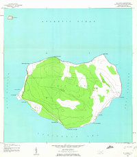
1944 · Isla Mona
USGS Topo · 1:20,000
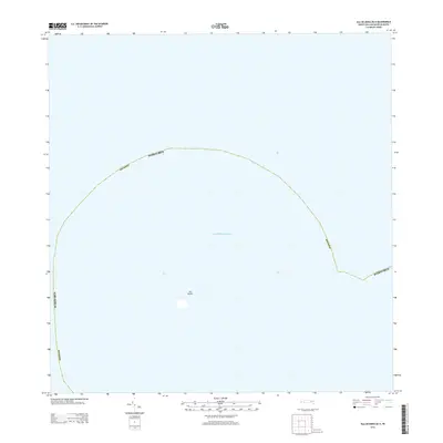
2013 · Isla de Mona OE N
USGS Topo · 1:20,000
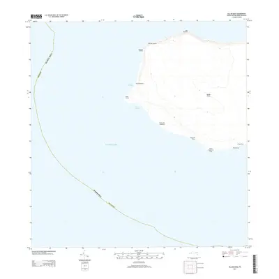
2013 · Isla de Mona
USGS Topo · 1:20,000
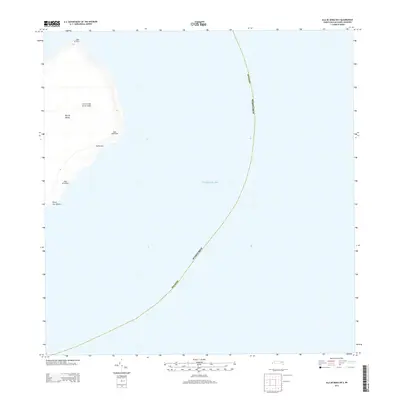
2013 · Isla de Mona OE E
USGS Topo · 1:20,000
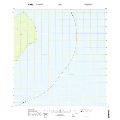
2018 · Isla de Mona OE E
USGS Topo · 1:20,000
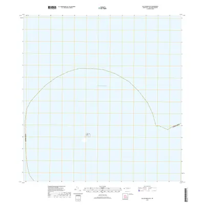
2018 · Isla de Mona OE N
USGS Topo · 1:20,000
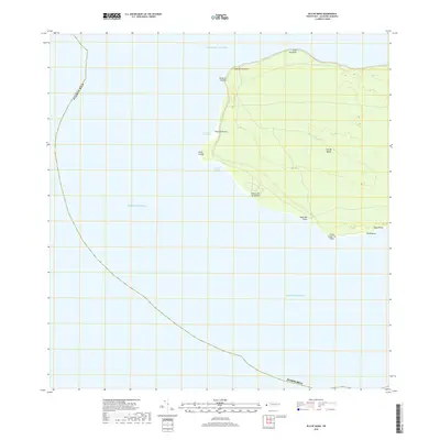
2018 · Isla de Mona
USGS Topo · 1:20,000
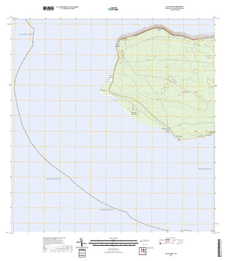
2024 · Isla de Mona
USGS Topo · 1:20,000
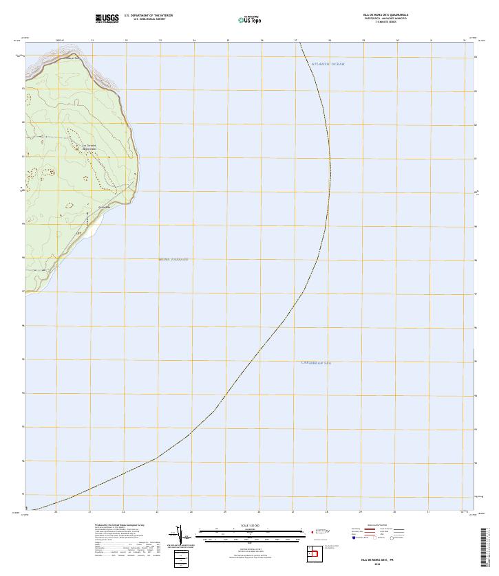
2024 · Isla de Mona OE E
USGS Topo · 1:20,000