Old Maps of Caonillas Arriba, Utuado for Academic Research
Study the evolution of Caonillas Arriba with 28 high-resolution historic maps. Whether you're teaching, researching, or modeling changes in land use, these maps provide essential visual documentation of urban, environmental, and geographic change.
- Analyze long-term change: Track patterns in development, transportation, and natural features.
- Ideal for environmental or urban studies: Support academic projects with primary historical map data.
- Use in the classroom or lab: Educators and researchers rely on these maps to bring historical context to life.
These maps are a powerful tool for teaching, research, and visualizing how Caonillas Arriba has changed over the decades.
Caonillas Arriba, Utuado maps
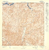
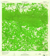
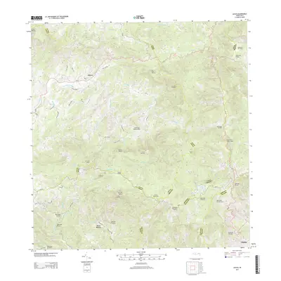
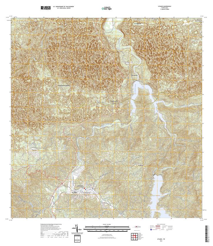
(28)- 1946 Map of Utuado
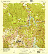
 1946 Utuado1946 Print · USGSThe mountain town of Utuado is captured here in the mid-1940s, just as the landscape was being reshaped by major hydroelectric projects. Genealogists and historians can trace family roots at Hacienda Carbonell or locate local landmarks like Iglesia San Pascual and the Planta Hidroelectrica near Lago Dos Bocas.3 unique versions available
 - 1946 Map of Jayuya
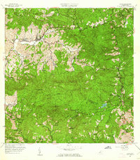
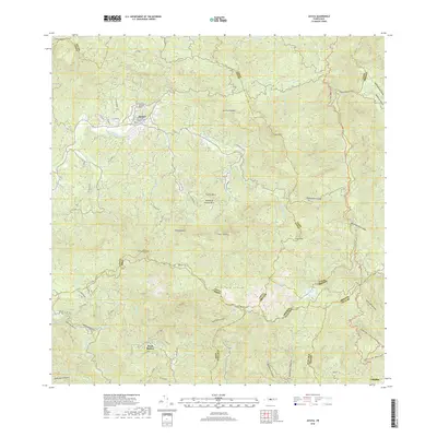
 1946 Jayuya1946 Print · USGSThe high peaks and agricultural estates of the Cordillera Central are shown in detail during the 1940s. Genealogists and historians can locate numerous family haciendas like Hacienda Gripina, the Central Santa Barbara mill, and the summit of Cerro de Punta.3 unique versions available
 - 1946 Map of Florida
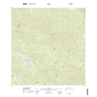
 1946 Florida1946 Print · USGSFlorida and the surrounding highlands of Puerto Rico are shown here in the 1940s, revealing a landscape of traditional mountain estates and rural schools. Genealogists and historians can trace family-named sites like Hacienda Las Abras and Hacienda Aldea or find local landmarks like the Escuela Segunda Unidad de Mameyes.3 unique versions available
 - 1946 Map of Adjuntas
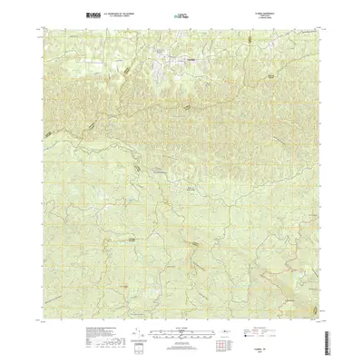
 1946 Adjuntas1946 Print · USGSAdjuntas and the surrounding central highlands are captured here in the mid-forties, showing a landscape defined by coffee and sugar estates. Researchers can trace the heritage of specific estates like Hacienda Jauca and Hacienda El Progreso or locate mountain landmarks such as Cerro El Gigante.2 unique versions available
 - 1947 Map of Utuado SE
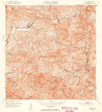
 1947 Utuado SE1947 Print · USGSThe interior highlands of Utuado are captured here in the mid-1940s, showing a landscape of steep ridges and the expanding Lago Dos Bocas. Genealogists and historians can locate rural landmarks like Hacienda Carbonell and the Escuela Segunda Unidad de Caonillas.
 - 1947 Map of Jayuya NO
 1947 Jayuya NO1947 Print · USGSThe mountain interior of Puerto Rico is captured here in the mid-1940s, highlighting a landscape of steep coffee-growing terrain and river valleys. Genealogists and historians can trace family estates like Hacienda La Marina and the industrial hub at Central Santa Barbara.
 - 1947 Map of Florida SO
 1947 Florida SO1947 Print · USGSCentral Puerto Rico in the 1940s was a landscape of mountain agriculture and secluded valley estates. Researchers can trace historic plantation boundaries at Hacienda Marqués or locate the Escuela Segunda Unidad de Mameyes along the winding river network.
 - 1947 Map of Adjuntas NE
 1947 Adjuntas NE1947 Print · USGSThe mountain interior of Utuado and Jayuya is captured in the late 1940s, highlighting a landscape shaped by coffee-growing history. Genealogists and historians can locate family landmarks like Hacienda Esperanza or the Iglesia de la Concepción Inmaculada.
 - 1952 Map of Utuado, 1953 Print
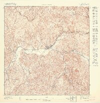
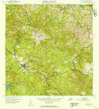
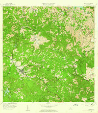
 1952 Utuado1953 Print · USGSUtuado in the early fifties shows a mountain landscape transformed by hydroelectric power and the growing footprint of the town center. Local researchers can trace old barrios and landmarks such as Hacienda Carbonell, Iglesia San Pascual, and the expansive waters of Lago Dos Bocas.2 unique versions available
 - 1952 Map of Jayuya, 1953 Print
 1952 Jayuya1953 Print · USGSThe Cordillera Central mountains surrounding Jayuya appear in high detail during the early fifties, showing the region's dense network of agricultural estates. Genealogists and historians can trace family-named lands like Hacienda Gripiña and Hacienda Santa Rosa near the heights of Cerro de Punta.2 unique versions available
 - 1952 Map of Adjuntas, 1953 Print
 1952 Adjuntas1953 Print · USGSThe mountain municipality of Adjuntas is shown in the mid-fifties amidst its traditional agricultural barrios and coffee-growing haciendas. Genealogists and historians can locate specific family-named estates like Hacienda Artau and Hacienda El Progreso or old parish centers like Iglesia de San Patricio.2 unique versions available
 - 1952 Map of Florida, 1953 Print
 1952 Florida1953 Print · USGSThe agricultural heartland of northern Puerto Rico comes alive in the early fifties, showing a dense landscape of historic haciendas and rural schools. Genealogists can trace family connections to estates like Hacienda San José or Hacienda Piedra Gorda and early social centers like the Escuela Segunda Unidad de Frontón.2 unique versions available
 - 1957 Map of Utuado
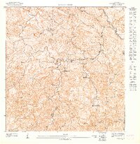
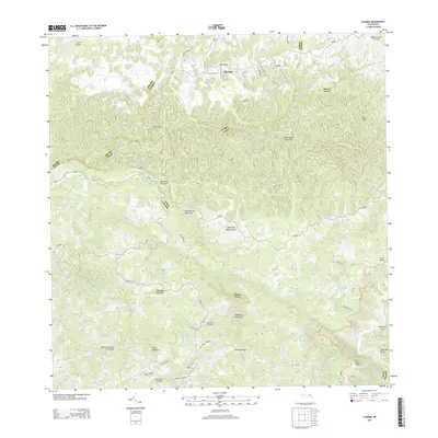
 1957 Utuado1957 Print · USGSUtuado and the surrounding highlands are captured in the late fifties during a period of significant hydroelectric development. Researchers can locate family landmarks and rural communities such as Hacienda Carbonell, El Guano, and the Iglesia San Pascual.4 unique versions available
 - 1957 Map of Florida, 1961 Print
 1957 Florida1961 Print · USGSCentral Puerto Rico’s agricultural heartland is documented here in the late fifties, showing the interplay of town life and rural estates. Genealogists can trace family footprints through numerous named haciendas like Hacienda La Isolina and schools such as Escuela Segunda Unidad de Mameyes.4 unique versions available
 - 1960 Map of Jayuya, 1961 Print
 1960 Jayuya1961 Print · USGSThe Cordillera Central around Jayuya is documented here in the early sixties, showing a landscape of coffee haciendas and steep peaks. Researchers can trace historic estates like Hacienda Jurutungo and Hacienda Los Planes or locate the high elevations of Cerro de Punta.3 unique versions available
 - 1960 Map of Adjuntas, 1962 Print
 1960 Adjuntas1962 Print · USGSThe high mountain terrain of the Cordillera Central comes to life in the early 1960s, showing the intersection of coffee estate history and modern hydraulic engineering. Genealogists and historians can locate numerous family estates like Hacienda Tres Hermanas and community centers such as Iglesia de San Patricio.4 unique versions available
 - 1972 Map of Utuado, 1974 Print
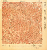
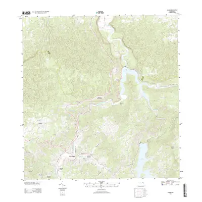
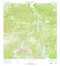 1972 Utuado1974 Print · USGSThe heart of Puerto Rico's central mountains comes into focus during the early seventies as the island’s interior infrastructure matured. Local historians can trace family-named landmarks like Hacienda Carbonell or locate rural parishes such as Iglesia San Pascual and Iglesia Santa Maria del Monte Carmelo.5 unique versions available
 - 2013 Map of Jayuya, 2013 Print
 2013 Jayuya2013 Print · USGSCovers Caonillas Arriba, including Jayuya, Hacienda Santa Rosa, and other nearby areas
 - 2013 Map of Florida, 2013 Print
 2013 Florida2013 Print · USGSCovers Caonillas Arriba, including Florida, Hacienda San José, and other nearby areas
 - 2013 Map of Utuado, 2013 Print
 2013 Utuado2013 Print · USGSCovers Caonillas Arriba, including Utuado, Jobales, and other nearby areas
 - 2013 Map of Adjuntas, 2013 Print
 2013 Adjuntas2013 Print · USGSCovers Caonillas Arriba, including Adjuntas, Sector Vickey Oquendo, and other nearby areas
 - 2018 Map of Jayuya, 2018 Print
 2018 Jayuya2018 Print · USGSCovers Caonillas Arriba, including Jayuya, Hacienda Santa Rosa, and other nearby areas
 - 2018 Map of Adjuntas, 2018 Print
 2018 Adjuntas2018 Print · USGSCovers Caonillas Arriba, including Adjuntas, Sector Vickey Oquendo, and other nearby areas
 - 2018 Map of Florida, 2018 Print
 2018 Florida2018 Print · USGSCovers Caonillas Arriba, including Florida, Hacienda San José, and other nearby areas
 - 2024 Map of Utuado, 2024 Print
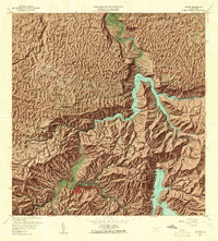
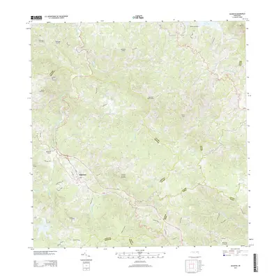
 2024 Utuado2024 Print · USGSThe mountain interior of Puerto Rico is revealed here in the 2020s, centered on the historic town and its river-carved valleys. Researchers can trace the local infrastructure from the university to rural settlements near Lago Dos Bocas and Cayuco.
Showing maps 1-25 of 28
Frequently asked questions
- What are the different types of historical maps available for Caonillas Arriba?
- What is the oldest map of Caonillas Arriba?
- Where can I purchase historical maps of Caonillas Arriba for my home or office?
- Where can I download high-res historical maps of Caonillas Arriba?
- Are there historical topographic maps available for Caonillas Arriba?
- Is there historical aerial imagery available for Caonillas Arriba?
- Where are historical maps of Caonillas Arriba sourced from?