2000s (21st Century) Maps of Puerto Diablo, Vieques
Explore 12 historic maps of Puerto Diablo from the 2000s (21st Century). These maps offer a rare glimpse into what life looked like during the 2000s — showing old roads, neighborhoods, homes, and landmarks that have changed or disappeared over time.
Whether you're researching your family's past, planning a metal detecting trip, or studying how Puerto Diablo's landscape evolved across the 2000s, these high-resolution maps are a powerful tool for exploring the history of this region.
- Focus on a specific era: All maps on this page are from the 2000s, giving you a focused view of this time period.
- See what’s changed: Compare century-old streets, trails, and buildings to today's modern landscape using overlays and satellite layers.
- Research with precision: Use these maps for genealogy, historical research, land use analysis, or educational projects.
- View, download, or print: Maps are fully viewable online in high resolution, and can be downloaded or printed for your own records.
Start exploring Puerto Diablo's history through authentic maps from the 2000s. This is your window into the past.
Puerto Diablo, Vieques maps
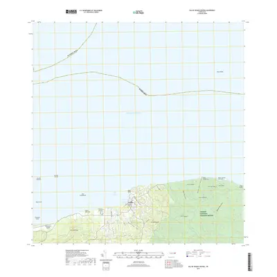
(12)- 2013 Map of Isla De Vieques Central, 2013 Print
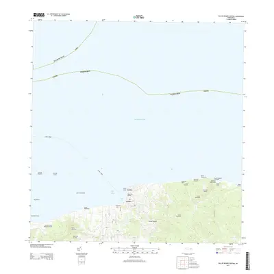 2013 Isla De Vieques Central2013 Print · USGSCovers Puerto Diablo, including Isabel Segunda, Quintas de Santa Elena, and other nearby areas
 - 2013 Map of Isla De Vieques Central OE S, 2013 Print
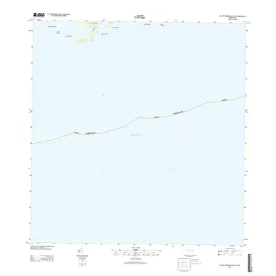
 2013 Isla De Vieques Central OE S2013 Print · USGSCovers Puerto Diablo, including El Pilón, La Hueca, and other nearby areas
 - 2013 Map of Isla De Vieques East, 2013 Print
 2013 Isla De Vieques East2013 Print · USGSCovers Puerto Diablo, including Puerto Rico, Vieques, and other nearby areas
 - 2013 Map of Isla De Vieques East OE S, 2013 Print
 2013 Isla De Vieques East OE S2013 Print · USGSCovers Puerto Diablo, including Puerto Rico, Vieques, and other nearby areas
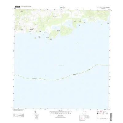
 - 2018 Map of Isla De Vieques Central, 2018 Print
 2018 Isla De Vieques Central2018 Print · USGSCovers Puerto Diablo, including Isabel Segunda, Quintas de Santa Elena, and other nearby areas
 - 2018 Map of Isla De Vieques Central OE S, 2018 Print
 2018 Isla De Vieques Central OE S2018 Print · USGSCovers Puerto Diablo, including El Pilón, La Hueca, and other nearby areas
 - 2018 Map of Isla De Vieques East OE S, 2018 Print
 2018 Isla De Vieques East OE S2018 Print · USGSCovers Puerto Diablo, including Puerto Rico, Vieques, and other nearby areas
 - 2018 Map of Isla De Vieques East, 2018 Print
 2018 Isla De Vieques East2018 Print · USGSCovers Puerto Diablo, including Puerto Rico, Vieques, and other nearby areas
 - 2024 Map of Isla De Vieques East, 2024 Print
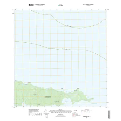
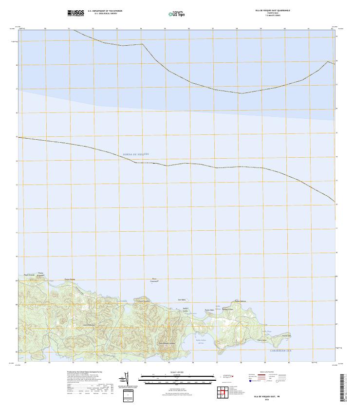 2024 Isla De Vieques East2024 Print · USGSThe eastern reaches of Vieques are documented here in the 2020s, showing the protected wilderness and rugged coastline of the Vieques National Wildlife Refuge. Researchers can trace the trails near Cerro Matías Jalobre or locate coastal landmarks like Punta Este and Bahía Salinas del Sur.
 - 2024 Map of Isla De Vieques Central OE S, 2024 Print
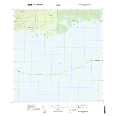
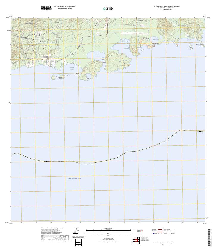 2024 Isla De Vieques Central OE S2024 Print · USGSSouthern Vieques remains a landscape of coastal settlements and conservation at the time of this survey. Genealogists and researchers can trace the roads of Esperanza or locate the inland sites of Colonia Fuerto Real and Colonia Luján.
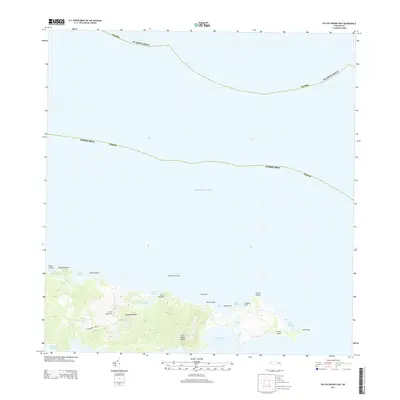
 - 2024 Map of Isla De Vieques Central, 2024 Print
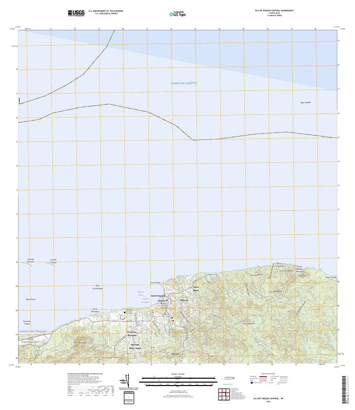 2024 Isla De Vieques Central2024 Print · USGSModern-day Vieques is captured here during the 2020s, showing the island's primary hub of Isabel Segunda and its surrounding coastal landscape. Trace local sites including the Antonio Rivera Rodriguez Airport, the Cementerio Viejo de Vieques, and Punta Mulas.
 - 2024 Map of Isla De Vieques East OE S, 2024 Print
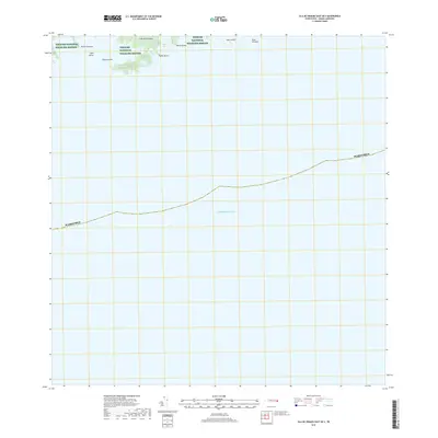
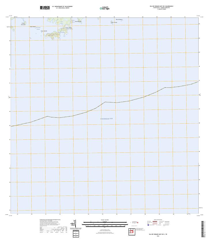 2024 Isla De Vieques East OE S2024 Print · USGSThe eastern coast of Vieques remains a landscape of conservation and maritime isolation in the early twenty-first century. Researchers can trace the protected shorelines of Vieques National Wildlife Refuge, from the reaches of Ensenada Honda to Roca Alcatraz.
End of results
Showing maps 1-12 of 12
Frequently asked questions
- What are the different types of historical maps available for Puerto Diablo?
- What is the oldest map of Puerto Diablo?
- Where can I purchase historical maps of Puerto Diablo for my home or office?
- Where can I download high-res historical maps of Puerto Diablo?
- Are there historical topographic maps available for Puerto Diablo?
- Is there historical aerial imagery available for Puerto Diablo?
- Where are historical maps of Puerto Diablo sourced from?