2000s (21st Century) Maps of United States Virgin Islands
Explore 35 historic maps of United States Virgin Islands from the 2000s (21st Century). These maps offer a rare glimpse into what life looked like during the 2000s — showing old roads, neighborhoods, homes, and landmarks that have changed or disappeared over time.
Whether you're researching your family's past, planning a metal detecting trip, or studying how United States Virgin Islands's landscape evolved across the 2000s, these high-resolution maps are a powerful tool for exploring the history of this region.
- Focus on a specific era: All maps on this page are from the 2000s, giving you a focused view of this time period.
- See what’s changed: Compare century-old streets, trails, and buildings to today's modern landscape using overlays and satellite layers.
- Research with precision: Use these maps for genealogy, historical research, land use analysis, or educational projects.
- View, download, or print: Maps are fully viewable online in high resolution, and can be downloaded or printed for your own records.
Start exploring United States Virgin Islands's history through authentic maps from the 2000s. This is your window into the past.
United States Virgin Islands maps
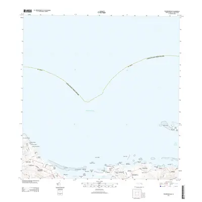
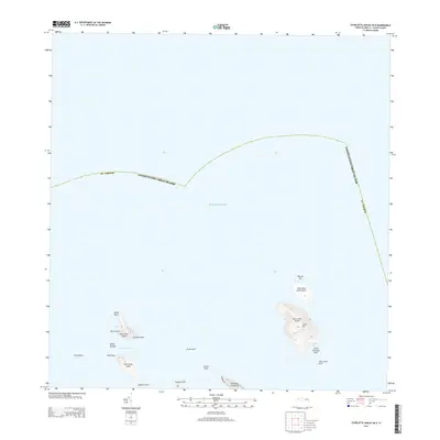
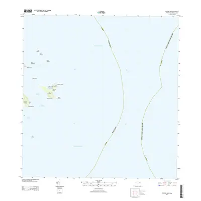
(35)- 2013 Map of Savana Passage OE N, 2013 Print
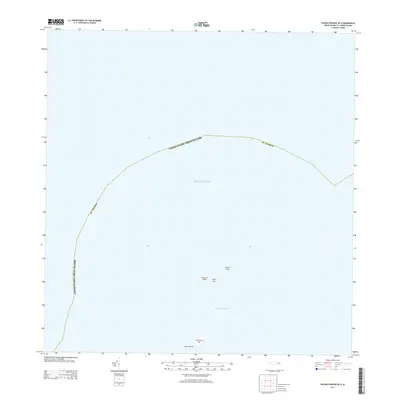 2013 Savana Passage OE N2013 Print · USGSCovers United States Virgin Islands, including Saint Thomas - Saint John District, and other nearby areas
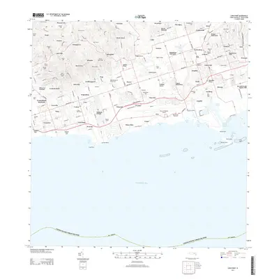
 - 2013 Map of Charlotte Amalie, 2013 Print
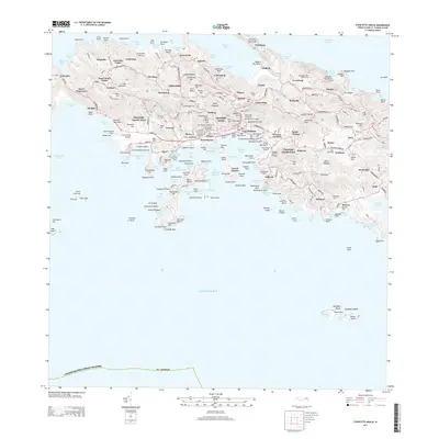 2013 Charlotte Amalie2013 Print · USGSCovers United States Virgin Islands, including Charlotte Amalie, Anna's Retreat, and other nearby areas
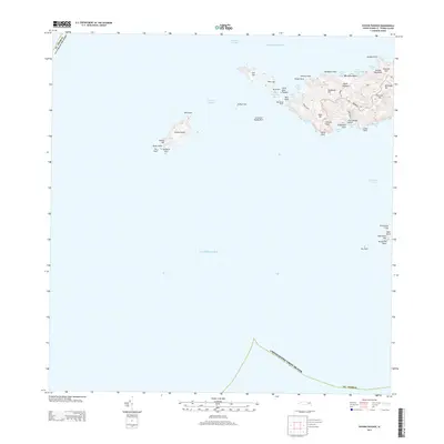
 - 2013 Map of Cruz Bay OE N, 2013 Print
 2013 Cruz Bay OE N2013 Print · USGSCovers United States Virgin Islands, including Belle Vue, British Virgin Islands, and other nearby areas
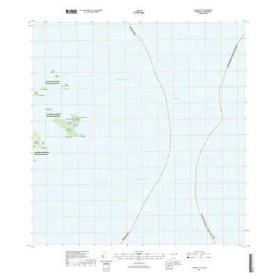
 - 2013 Map of Savana Passage, 2013 Print
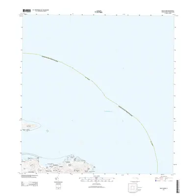
 2013 Savana Passage2013 Print · USGSCovers United States Virgin Islands, including Fortuna, Saint Thomas - Saint John District, and other nearby areas
 - 2013 Map of Beauregard Bay, 2013 Print
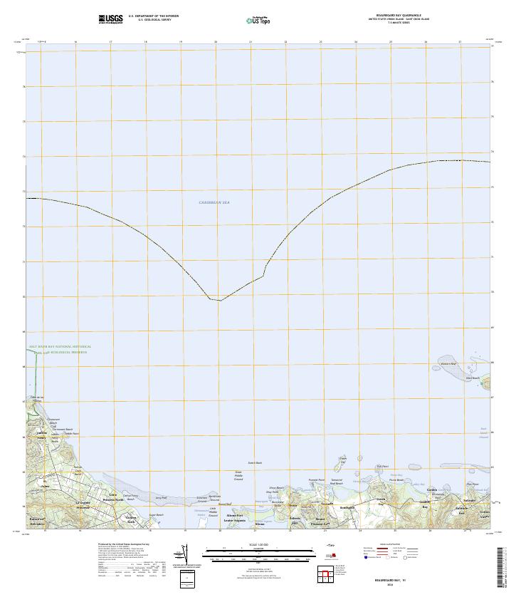
 2013 Beauregard Bay2013 Print · USGSCovers United States Virgin Islands, including Mount Pleasant, Green Kay, and other nearby areas
 - 2013 Map of Buck Island, 2013 Print
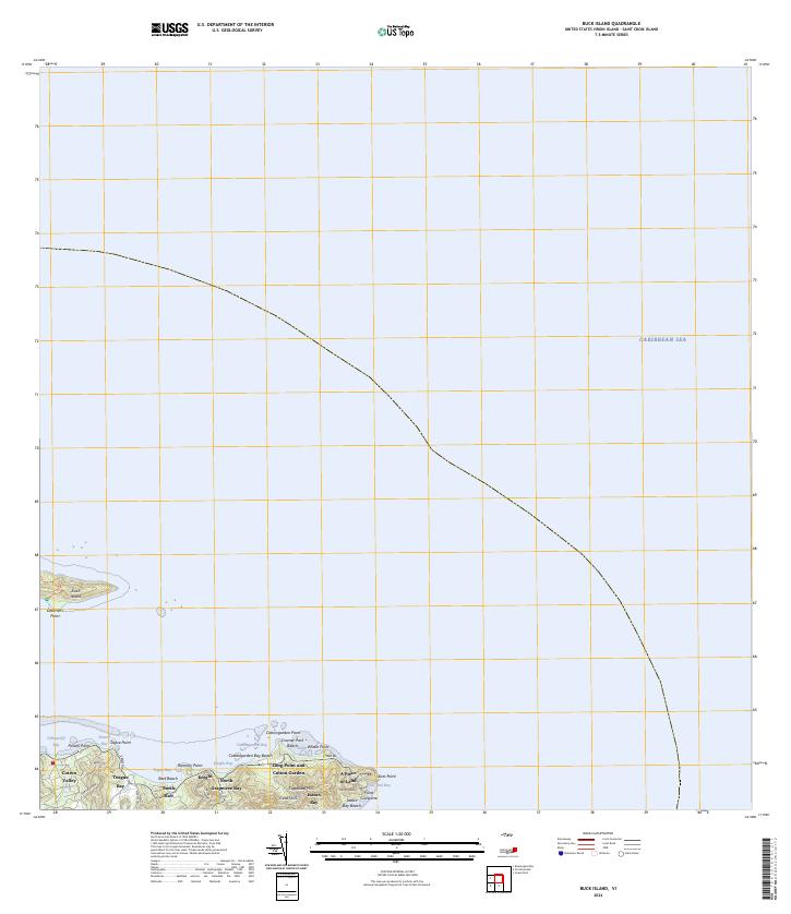
 2013 Buck Island2013 Print · USGSCovers United States Virgin Islands, including Cotton Valley, North Grapetree Bay, and other nearby areas
 - 2013 Map of Christiansted, 2013 Print
 2013 Christiansted2013 Print · USGSCovers United States Virgin Islands, including Longford (Anna's Hope Village), Work and Rest, and other nearby areas
 - 2013 Map of Grass Point, 2013 Print
 2013 Grass Point2013 Print · USGSCovers United States Virgin Islands, including Yellow Cliff, South Slob, and other nearby areas
 - 2013 Map of Coral Bay, 2013 Print
 2013 Coral Bay2013 Print · USGSCovers United States Virgin Islands, including East End, Coral Bay, and other nearby areas
 - 2013 Map of Cruz Bay, 2013 Print
 2013 Cruz Bay2013 Print · USGSCovers United States Virgin Islands, including Anna's Retreat, Cruz Bay, and other nearby areas
 - 2013 Map of Coral Bay OE N, 2013 Print
 2013 Coral Bay OE N2013 Print · USGSCovers United States Virgin Islands, including Recovery, Long Bay, and other nearby areas
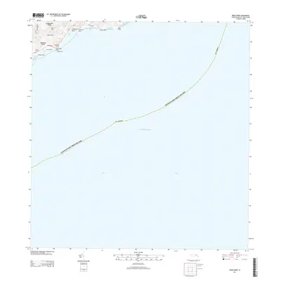
 - 2013 Map of Hams Bay, 2013 Print
 2013 Hams Bay2013 Print · USGSCovers United States Virgin Islands, including Hams Bay, Northside, and other nearby areas
 - 2013 Map of Charlotte Amalie OE N, 2013 Print
 2013 Charlotte Amalie OE N2013 Print · USGSCovers United States Virgin Islands, including British Virgin Islands, Saint Thomas - Saint John District, and other nearby areas
 - 2013 Map of Long Point, 2013 Print
 2013 Long Point2013 Print · USGSCovers United States Virgin Islands, including Mount Victory, Saint George Hill, and other nearby areas
 - 2013 Map of Baron Bluff, 2013 Print
 2013 Baron Bluff2013 Print · USGSCovers United States Virgin Islands, including Little Fountain, Annaly, and other nearby areas
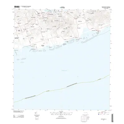
 - 2013 Map of Frederiksted, 2013 Print
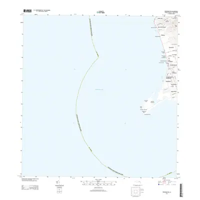 2013 Frederiksted2013 Print · USGSCovers United States Virgin Islands, including William, Butler Bay, and other nearby areas
 - 2013 Map of Culebra OE E, 2013 Print
 2013 Culebra OE E2013 Print · USGSCovers United States Virgin Islands, including Culebra, Puerto Rico, and other nearby areas
 - 2018 Map of Culebra OE E, 2018 Print
 2018 Culebra OE E2018 Print · USGSCovers United States Virgin Islands, including Culebra, Puerto Rico, and other nearby areas
 - 2024 Map of Hams Bay, 2024 Print
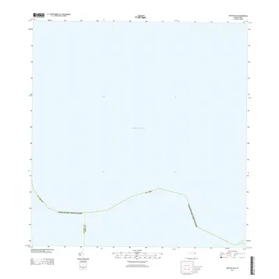
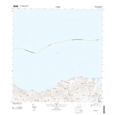
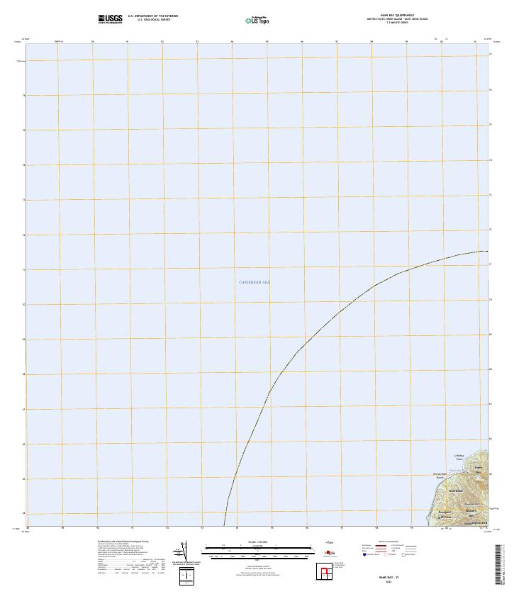 2024 Hams Bay2024 Print · USGSThe northwest coast of Saint Croix remains defined by its sharp elevation changes and sheltered coves in this modern topographic overview. Researchers can trace the coastal route of Hams Bluff Rd as it connects Hams Bay and the shoreline at Monks Bath Beach.
 - 2024 Map of Baron Bluff, 2024 Print
 2024 Baron Bluff2024 Print · USGSSaint Croix's northern coast is mapped here in the early twenty-first century, showcasing its steep ridges and historic estates. Genealogists and historians can trace traditional land names from Annaly to Morningstar and locate the Salt River Bay National Historical Park.
 - 2024 Map of Grass Point, 2024 Print
 2024 Grass Point2024 Print · USGSThe southeastern coast of Saint Croix is documented here as it stands today, showing the intersection of coastal topography and contemporary residency. Trace local landmarks like Catharinas Hope and the shoreline at Grapetree Bay or Grassy Point Beach.
 - 2024 Map of Buck Island, 2024 Print
 2024 Buck Island2024 Print · USGSThe eastern tip of Saint Croix and its surrounding waters are charted in this contemporary survey. Maritime and local historians can trace the shoreline from Cramer Park Beach to East Point, while exploring the boundaries of the Buck Island Reef National Monument.
 - 2024 Map of Beauregard Bay, 2024 Print
 2024 Beauregard Bay2024 Print · USGSCoastal Saint Croix is captured here in modern detail, showcasing the intersection of historical estates and protected marine environments. Researchers can trace the layout of Judiths Fancy and Altona Fort or explore the boundaries of the Buck Island Reef National Monument.
 - 2024 Map of Long Point, 2024 Print
 2024 Long Point2024 Print · USGSThe southern coast of Saint Croix comes into focus in this contemporary survey, showing the island's blend of historic estates and modern infrastructure. Genealogists and researchers can locate landmarks like Friedensfeld Midlands Cem, the Henry E Rohlsen Airport, and Upper Love.
 - 2024 Map of Coral Bay OE N, 2024 Print
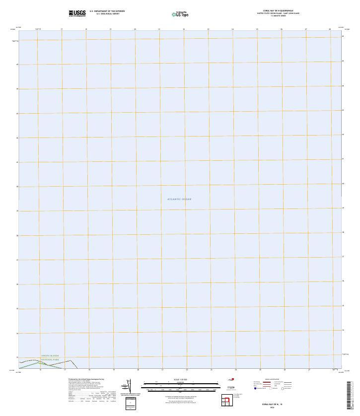 2024 Coral Bay OE N2024 Print · USGSThe northern waters of the Virgin Islands are documented in this recent survey of the open sea. Map researchers can trace the coastal boundaries of Virgin Islands National Park and the Virgin Islands Coral Reef National Monument.
Showing maps 1-25 of 35
Top cities of United States Virgin Islands
Frequently asked questions
- What are the different types of historical maps available for United States Virgin Islands?
- What is the oldest map of United States Virgin Islands?
- Where can I purchase historical maps of United States Virgin Islands for my home or office?
- Where can I download high-res historical maps of United States Virgin Islands?
- Are there historical topographic maps available for United States Virgin Islands?
- Is there historical aerial imagery available for United States Virgin Islands?
- Where are historical maps of United States Virgin Islands sourced from?