Old Maps of Mulberry, Alabama for Metal Detecting
Plan your next treasure hunt with 12 historic maps of Mulberry. Find old homesites, ghost towns, trails, and gathering spots that may be lost to time — perfect for identifying promising metal detecting locations.
- Locate forgotten sites: Uncover places like long-lost settlements, abandoned rail lines, or gathering spots.
- Plan better hunts: Use map overlays combined with LiDAR or satellite views to narrow in on historically rich areas.
- Made for detectorists: Thousands of hobbyists use these maps to discover relics, coins, and hidden history.
Use these historic maps to boost your research and find new opportunities beneath the surface of Mulberry.
Mulberry, AL maps
(12)- 1953 Map of Montgomery, 1964 Print
 1953 Montgomery1964 Print · USGSCentral Alabama's river-and-rail corridor is mapped here in the mid-fifties, showing the vital connections between the capital and the Black Belt. Genealogists and historians can trace rail depots and crossroads from Marion Junction to Wetumpka, alongside landmarks like Craig AFB.4 unique versions available
 - 1956 Map of Montgomery
 1956 Montgomery1956 Print · USGSCentral Alabama in the mid-1950s shows a landscape defined by its great river systems and a booming military aviation presence. Genealogists and historians can trace the rail corridors of the Southern Railway and locate tactical bases like Maxwell AFB and Craig AFB.
 - 1957 Map of Montgomery
 1957 Montgomery1957 Print · USGSCentral Alabama in the mid-fifties is defined by the winding Alabama River and a strategic network of military bases and rail lines. Trace family roots in Montgomery and Selma, or locate landmarks like Craig AFB and the State Capitol before the interstate era.
 - 1957 Map of Benton, 1958 Print
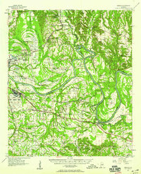 1957 Benton1958 Print · USGSThe river country along the Alabama-Lowndes border in the late fifties is defined by the deep oxbows of the Alabama River. Genealogists and researchers can trace rural life through a network of landmarks like Pine Flat Ch, the Dulaney Sch, and the rail stops at Benton and Tyler.2 unique versions available
 - 1975 Map of Benton NE, 1977 Print
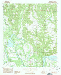
 1975 Benton NE1977 Print · USGSAutauga County's agricultural heartland and the winding Alabama River are captured in this mid-seventies aerial survey. Researchers can trace the rural landscape around Mulberry and study the intricate river meanders and historic property boundaries.
 - 1982 Map of Durant Bend
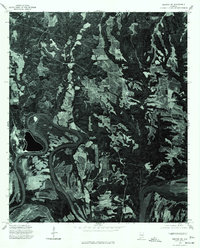
 1982 Durant Bend1982 Print · USGSThe Alabama River dominates Autauga County in the early eighties, winding through the namesake Durant Bend and into Woodruff (Bob) Lake. Researchers can locate river-dependent sites like Steels Landing, Henderson Ldg, and the Statesville settlement.
 - 1986 Map of Montgomery
 1986 Montgomery1986 Print · USGSCentral Alabama's river-and-rail corridor is captured in the mid-1980s, centered on the state capital and its surrounding rural counties. Researchers can trace ancestral landmarks like Oakwood Cemetery, military sites like Maxwell Air Force Base, and small towns such as Lowndesboro.2 unique versions available
 - 2011 Map of Durant Bend, 2011 Print
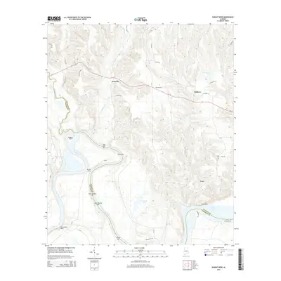
 2011 Durant Bend2011 Print · USGSCovers Mulberry, including Statesville, Peace, and other nearby areas
 - 2014 Map of Durant Bend, 2014 Print
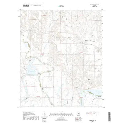
 2014 Durant Bend2014 Print · USGSCovers Mulberry, including Statesville, Peace, and other nearby areas
 - 2018 Map of Durant Bend, 2018 Print
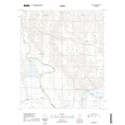
 2018 Durant Bend2018 Print · USGSCovers Mulberry, including Statesville, Peace, and other nearby areas
 - 2020 Map of Durant Bend, 2020 Print
 2020 Durant Bend2020 Print · USGSCovers Mulberry, including Statesville, Peace, and other nearby areas
 - 2024 Map of Durant Bend, 2024 Print
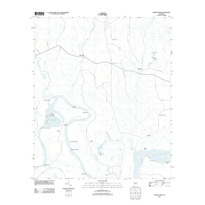
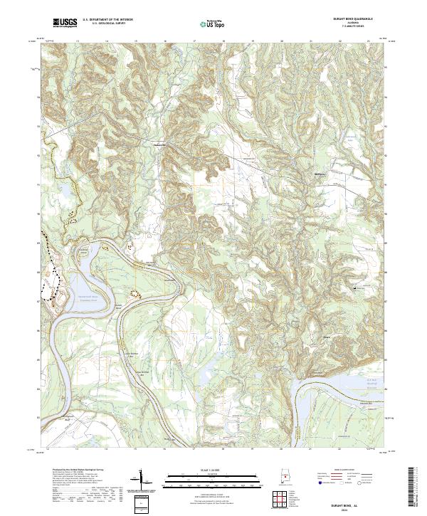 2024 Durant Bend2024 Print · USGSThe winding Alabama River and its many sandbars dominate this Autauga County landscape in the early twenty-first century. Researchers can trace rural settlement patterns near Statesville and Mulberry or locate family sites like Jones Cem.
End of results
Showing maps 1-12 of 12
Top cities near Mulberry
- Prattville historical maps
- Selma historical maps
- Valley Grande historical maps
- White Hall historical maps
- Autaugaville historical maps
- Billingsley historical maps
See more
Frequently asked questions
- What are the different types of historical maps available for Mulberry?
- What is the oldest map of Mulberry?
- Where can I purchase historical maps of Mulberry for my home or office?
- Where can I download high-res historical maps of Mulberry?
- Are there historical topographic maps available for Mulberry?
- Is there historical aerial imagery available for Mulberry?
- Where are historical maps of Mulberry sourced from?