Old Maps of Gulf Highlands, Alabama for Metal Detecting
Plan your next treasure hunt with 11 historic maps of Gulf Highlands. Find old homesites, ghost towns, trails, and gathering spots that may be lost to time — perfect for identifying promising metal detecting locations.
- Locate forgotten sites: Uncover places like long-lost settlements, abandoned rail lines, or gathering spots.
- Plan better hunts: Use map overlays combined with LiDAR or satellite views to narrow in on historically rich areas.
- Made for detectorists: Thousands of hobbyists use these maps to discover relics, coins, and hidden history.
Use these historic maps to boost your research and find new opportunities beneath the surface of Gulf Highlands.
Gulf Highlands, AL maps
(11)- 1957 Map of Pensacola, 1967 Print
 1957 Pensacola1967 Print · USGSThe Florida Panhandle and Alabama coast are seen here at the height of the Cold War, showcasing a unique mix of military aviation and emerging beach tourism. Genealogists and local historians can trace legacy sites like Old Corry Field, the lumber town of Bagdad, and the coastal reaches of Santa Rosa Island.3 unique versions available
 - 1959 Map of Pensacola
 1959 Pensacola1959 Print · USGSThe Florida Panhandle and Alabama coast come alive in this late fifties survey of military aviation and maritime life. Genealogists can trace family roots in Bagdad, Loxley, and Milton while mapping the rails of the Louisville and Nashville.
 - 1960 Map of Pensacola
 1960 Pensacola1960 Print · USGSThe Florida Panhandle and Alabama's eastern shore are shown during a period of rapid military and coastal growth. Genealogists and historians can trace the mid-century footprints of Warrington, the Pensacola NAS (Chevalier), and the Blackwater River timber lands.
 - 1978 Map of Pensacola, 1980 Print
 1978 Pensacola1980 Print · USGSThe Gulf Coast at the end of the 1970s reveals a landscape shaped by maritime industry and a heavy naval presence. Researchers can trace the development of Pensacola alongside quiet coastal hamlets like Magnolia Springs and the historic Fort Pickens State Park.3 unique versions available
 - 1980 Map of St. Andrews Bay
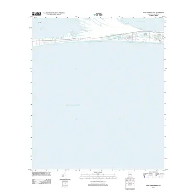
 1980 St. Andrews Bay1980 Print · USGSThe Alabama coastline along the Fort Morgan peninsula is captured here in the late 1970s, showcasing the thin strip of land between Mobile Bay and the Gulf. Genealogists and local historians can locate early coastal settlements like Weeks and Edith.
 - 2011 Map of Saint Andrews Bay, 2011 Print
 2011 Saint Andrews Bay2011 Print · USGSCovers Gulf Highlands, including Baldwin County, United States, and other nearby areas
 - 2014 Map of Saint Andrews Bay, 2014 Print
 2014 Saint Andrews Bay2014 Print · USGSCovers Gulf Highlands, including Baldwin County, United States, and other nearby areas
 - 2018 Map of Saint Andrews Bay, 2018 Print
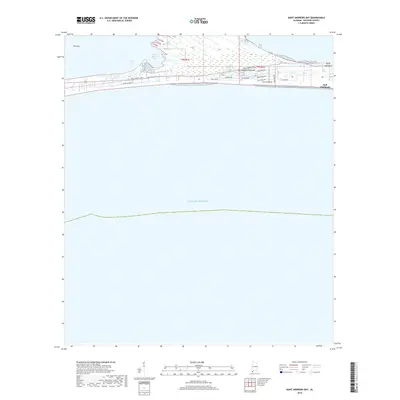 2018 Saint Andrews Bay2018 Print · USGSCovers Gulf Highlands, including Baldwin County, United States, and other nearby areas
 - 2020 Map of Saint Andrews Bay, 2020 Print
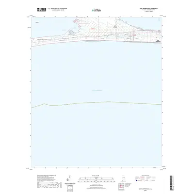 2020 Saint Andrews Bay2020 Print · USGSCovers Gulf Highlands, including Baldwin County, United States, and other nearby areas
 - 2024 Map of Saint Andrews Bay, 2024 Print
 2024 Saint Andrews Bay2024 Print · USGSCovers Gulf Highlands, including Baldwin County, United States, and other nearby areas
 - 2025 Map of Saint Andrews Bay, 2025 Print
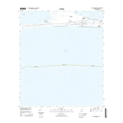
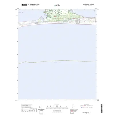
 2025 Saint Andrews Bay2025 Print · USGSThe Baldwin County shoreline as it appears today, where the narrow Fort Morgan Peninsula separates the gulf from Bon Secour Bay. Genealogists and local historians can trace the residential growth of Gulf Highlands and locate the historic Navy Cove Cem.
End of results
Showing maps 1-11 of 11
Top cities near Gulf Highlands
- Fairhope historical maps
- Foley historical maps
- Gulf Shores historical maps
- Dauphin Island historical maps
- Bon Secour historical maps
- Summerdale historical maps
See more
Frequently asked questions
- What are the different types of historical maps available for Gulf Highlands?
- What is the oldest map of Gulf Highlands?
- Where can I purchase historical maps of Gulf Highlands for my home or office?
- Where can I download high-res historical maps of Gulf Highlands?
- Are there historical topographic maps available for Gulf Highlands?
- Is there historical aerial imagery available for Gulf Highlands?
- Where are historical maps of Gulf Highlands sourced from?