1950s Maps of Spanish Fort, Alabama
Explore 7 historic maps of Spanish Fort from the 1950s. These maps offer a rare glimpse into what life looked like during the 1950s — showing old roads, neighborhoods, homes, and landmarks that have changed or disappeared over time.
Whether you're researching your family's past, planning a metal detecting trip, or studying how Spanish Fort's landscape evolved across the 1950s, these high-resolution maps are a powerful tool for exploring the history of this region.
- Focus on a specific era: All maps on this page are from the 1950s, giving you a focused view of this time period.
- See what’s changed: Compare century-old streets, trails, and buildings to today's modern landscape using overlays and satellite layers.
- Research with precision: Use these maps for genealogy, historical research, land use analysis, or educational projects.
- View, download, or print: Maps are fully viewable online in high resolution, and can be downloaded or printed for your own records.
Start exploring Spanish Fort's history through authentic maps from the 1950s. This is your window into the past.
Spanish Fort, AL maps
(7)- 1953 Map of Bridgehead, 1954 Print
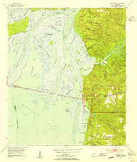 1953 Bridgehead1954 Print · USGSThe eastern shore of Mobile Bay appears in the early fifties as a landscape of tidal marshes and strategic bluffs. Genealogists and historians can locate Civil War Trenches near Fort McDermott and trace family roots at Blakeley Cem or D'Olive Cem.6 unique versions available
 - 1953 Map of Stapleton, 1955 Print
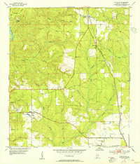 1953 Stapleton1955 Print · USGSMid-century Baldwin County is captured here as a landscape of timber and rail, centered on the growing community of Stapleton. Genealogists and researchers can trace local family landmarks and infrastructure from Malbis Cem and Loxley Sch to the winding path of the Old Spanish Trail.3 unique versions available
 - 1953 Map of Mobile, 1955 Print
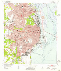 1953 Mobile1955 Print · USGSMobile and its neighboring industrial suburbs thrive in the mid-1950s as the riverfront reaches its peak as a rail and maritime gateway. Researchers can locate specific family homesites near Barton Academy, the sprawling Brookley Air Force Base, or the grounds of Magnolia Cemetery.5 unique versions available
 - 1953 Map of Mobile, 1968 Print
 1953 Mobile1968 Print · USGSThe Gulf Coast comes alive in this mid-century survey, from the streets of Mobile to the marshes of New Orleans. Trace family roots in coastal towns like Pass Christian and Bayou La Batre or locate military landmarks including Keesler AFB.3 unique versions available
 - 1957 Map of Mobile
 1957 Mobile1957 Print · USGSThe Gulf Coast in the mid-1950s reveals a bustling corridor of rail-and-river commerce connecting Alabama to Louisiana. Genealogists and historians can trace old settlements and military hubs from Keesler Afb to the coastal reaches of Ship Island and Bogalusa.3 unique versions available
 - 1957 Map of Pensacola, 1967 Print
 1957 Pensacola1967 Print · USGSThe Florida Panhandle and Alabama coast are seen here at the height of the Cold War, showcasing a unique mix of military aviation and emerging beach tourism. Genealogists and local historians can trace legacy sites like Old Corry Field, the lumber town of Bagdad, and the coastal reaches of Santa Rosa Island.3 unique versions available
 - 1959 Map of Pensacola
 1959 Pensacola1959 Print · USGSThe Florida Panhandle and Alabama coast come alive in this late fifties survey of military aviation and maritime life. Genealogists can trace family roots in Bagdad, Loxley, and Milton while mapping the rails of the Louisville and Nashville.
End of results
Showing maps 1-7 of 7
Top cities near Spanish Fort
- Mobile historical maps
- Daphne historical maps
- Fairhope historical maps
- Prichard historical maps
- Saraland historical maps
- Bay Minette historical maps
See more
Top neighborhoods of Spanish Fort
Frequently asked questions
- What are the different types of historical maps available for Spanish Fort?
- What is the oldest map of Spanish Fort?
- Where can I purchase historical maps of Spanish Fort for my home or office?
- Where can I download high-res historical maps of Spanish Fort?
- Are there historical topographic maps available for Spanish Fort?
- Is there historical aerial imagery available for Spanish Fort?
- Where are historical maps of Spanish Fort sourced from?