2020s Maps of Barbour County, Alabama
Explore 54 historic maps of Barbour County from the 2020s. These maps offer a rare glimpse into what life looked like during the 2020s — showing old roads, neighborhoods, homes, and landmarks that have changed or disappeared over time.
Whether you're researching your family's past, planning a metal detecting trip, or studying how Barbour County's landscape evolved across the 2020s, these high-resolution maps are a powerful tool for exploring the history of this region.
- Focus on a specific era: All maps on this page are from the 2020s, giving you a focused view of this time period.
- See what’s changed: Compare century-old streets, trails, and buildings to today's modern landscape using overlays and satellite layers.
- Research with precision: Use these maps for genealogy, historical research, land use analysis, or educational projects.
- View, download, or print: Maps are fully viewable online in high resolution, and can be downloaded or printed for your own records.
Start exploring Barbour County's history through authentic maps from the 2020s. This is your window into the past.
Barbour County, AL maps
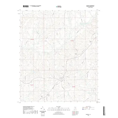
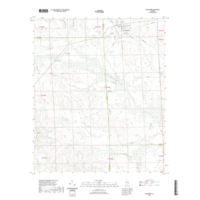
(54)- 2020 Map of Georgetown, 2020 Print
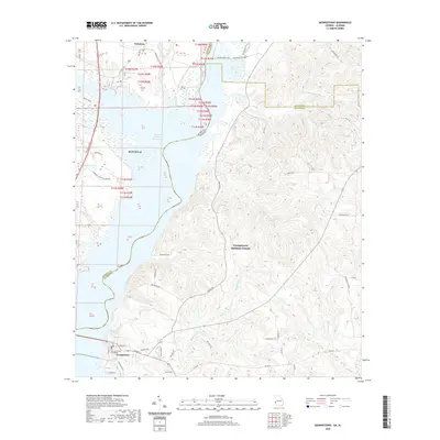 2020 Georgetown2020 Print · USGSCovers Barbour County, including Eufaula, Georgetown, and other nearby areas
 - 2020 Map of Clio, 2020 Print
 2020 Clio2020 Print · USGSCovers Barbour County, including Clio, Blue Springs, and other nearby areas
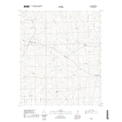
 - 2020 Map of White Oak, 2020 Print
 2020 White Oak2020 Print · USGSCovers Barbour County, including Eufaula, White Oak, and other nearby areas
 - 2020 Map of Clayton North, 2020 Print
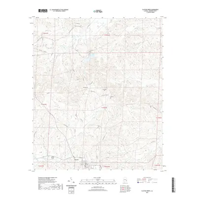 2020 Clayton North2020 Print · USGSCovers Barbour County, including Clayton, United States, and other nearby areas
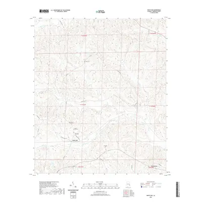
 - 2020 Map of Mount Andrew, 2020 Print
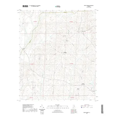 2020 Mount Andrew2020 Print · USGSCovers Barbour County, including Clayton, Garmon Crossroads, and other nearby areas
 - 2020 Map of Perote, 2020 Print
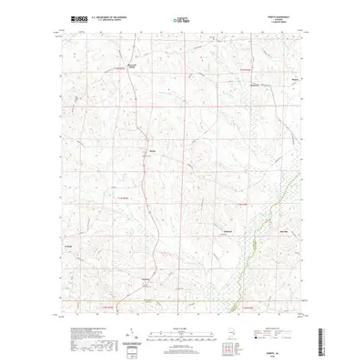 2020 Perote2020 Print · USGSCovers Barbour County, including Boot Hill, Blues Old Stand, and other nearby areas
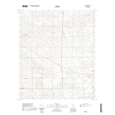
 - 2020 Map of Texasville, 2020 Print
 2020 Texasville2020 Print · USGSCovers Barbour County, including Blue Springs, Edwin, and other nearby areas
 - 2020 Map of Skipperville, 2020 Print
 2020 Skipperville2020 Print · USGSCovers Barbour County, including Ozark, Phillips Crossroads, and other nearby areas
 - 2020 Map of Ariton, 2020 Print
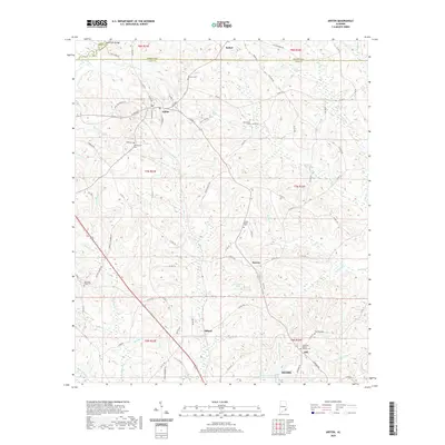 2020 Ariton2020 Print · USGSCovers Barbour County, including Ozark, Ariton, and other nearby areas
 - 2020 Map of Josie, 2020 Print
 2020 Josie2020 Print · USGSCovers Barbour County, including Shiloh, Enon, and other nearby areas
 - 2020 Map of Fort Gaines NW, 2020 Print
 2020 Fort Gaines NW2020 Print · USGSCovers Barbour County, including Scottsboro Crossroads, Pleasant Hill, and other nearby areas
 - 2020 Map of Elamville, 2020 Print
 2020 Elamville2020 Print · USGSCovers Barbour County, including Clio, Doster, and other nearby areas
 - 2020 Map of Clopton, 2020 Print
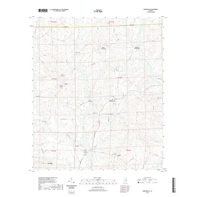
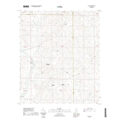 2020 Clopton2020 Print · USGSCovers Barbour County, including Barefield Crossroads, Clopton, and other nearby areas
 - 2020 Map of Baker Hill, 2020 Print
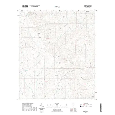 2020 Baker Hill2020 Print · USGSCovers Barbour County, including Eufaula, Bakerhill, and other nearby areas
 - 2020 Map of Lawrenceville, 2020 Print
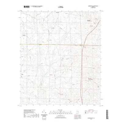 2020 Lawrenceville2020 Print · USGSCovers Barbour County, including Bakerhill, Richards Crossroads, and other nearby areas
 - 2020 Map of Clayton South, 2020 Print
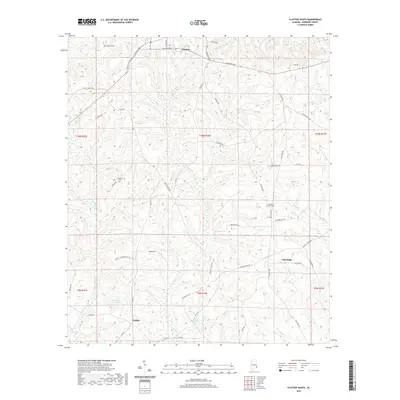 2020 Clayton South2020 Print · USGSCovers Barbour County, including Clayton, Lime Sink, and other nearby areas
 - 2020 Map of Louisville, 2020 Print
 2020 Louisville2020 Print · USGSCovers Barbour County, including Louisville, Baxters, and other nearby areas
 - 2020 Map of Eufaula North, 2020 Print
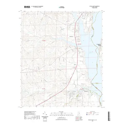
 2020 Eufaula North2020 Print · USGSCovers Barbour County, including Eufaula, Georgetown, and other nearby areas
 - 2020 Map of Eufaula South, 2020 Print
 2020 Eufaula South2020 Print · USGSCovers Barbour County, including Eufaula, Terese, and other nearby areas
 - 2020 Map of Comer, 2020 Print
 2020 Comer2020 Print · USGSCovers Barbour County, including Comer, Bullock County, and other nearby areas
 - 2020 Map of Pittsview, 2020 Print
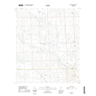
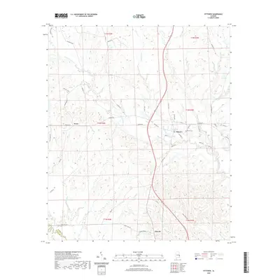 2020 Pittsview2020 Print · USGSCovers Barbour County, including Hooks, Pittsview, and other nearby areas
 - 2020 Map of Twin Springs, 2020 Print
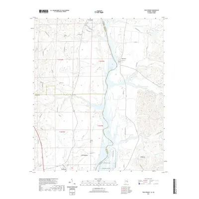 2020 Twin Springs2020 Print · USGSCovers Barbour County, including Eufaula, Florence, and other nearby areas
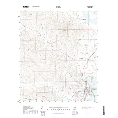
 - 2020 Map of Hurtsboro, 2020 Print
 2020 Hurtsboro2020 Print · USGSCovers Barbour County, including Hurtsboro, Enon, and other nearby areas
 - 2020 Map of Rutherford, 2020 Print
 2020 Rutherford2020 Print · USGSCovers Barbour County, including Persons, Rutherford, and other nearby areas
 - 2020 Map of Midway, 2020 Print
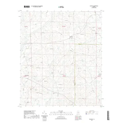
 2020 Midway2020 Print · USGSCovers Barbour County, including Midway, Three Notch, and other nearby areas
Showing maps 1-25 of 54
Top cities of Barbour County
- Eufaula historical maps
- Clayton historical maps
- Clio historical maps
- Louisville historical maps
- Bakerhill historical maps
- Blue Springs historical maps
Frequently asked questions
- What are the different types of historical maps available for Barbour County?
- What is the oldest map of Barbour County?
- Where can I purchase historical maps of Barbour County for my home or office?
- Where can I download high-res historical maps of Barbour County?
- Are there historical topographic maps available for Barbour County?
- Is there historical aerial imagery available for Barbour County?
- Where are historical maps of Barbour County sourced from?