2000s (21st Century) Maps of Bakerhill, Alabama
Explore 10 historic maps of Bakerhill from the 2000s (21st Century). These maps offer a rare glimpse into what life looked like during the 2000s — showing old roads, neighborhoods, homes, and landmarks that have changed or disappeared over time.
Whether you're researching your family's past, planning a metal detecting trip, or studying how Bakerhill's landscape evolved across the 2000s, these high-resolution maps are a powerful tool for exploring the history of this region.
- Focus on a specific era: All maps on this page are from the 2000s, giving you a focused view of this time period.
- See what’s changed: Compare century-old streets, trails, and buildings to today's modern landscape using overlays and satellite layers.
- Research with precision: Use these maps for genealogy, historical research, land use analysis, or educational projects.
- View, download, or print: Maps are fully viewable online in high resolution, and can be downloaded or printed for your own records.
Start exploring Bakerhill's history through authentic maps from the 2000s. This is your window into the past.
Bakerhill, AL maps
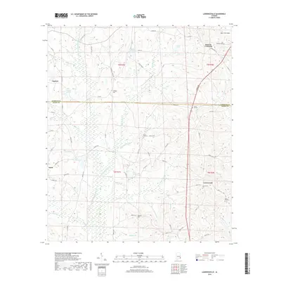
(10)- 2011 Map of Lawrenceville, 2011 Print
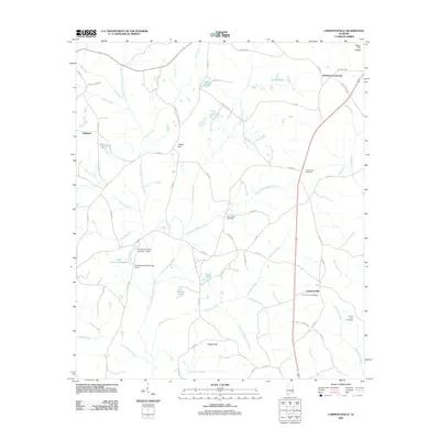 2011 Lawrenceville2011 Print · USGSCovers Bakerhill, including Richards Crossroads, Edgefield, and other nearby areas
 - 2011 Map of Baker Hill, 2011 Print
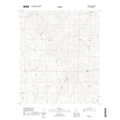
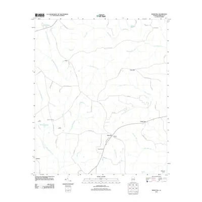 2011 Baker Hill2011 Print · USGSCovers Bakerhill, including Eufaula, Oateston, and other nearby areas
 - 2014 Map of Baker Hill, 2014 Print
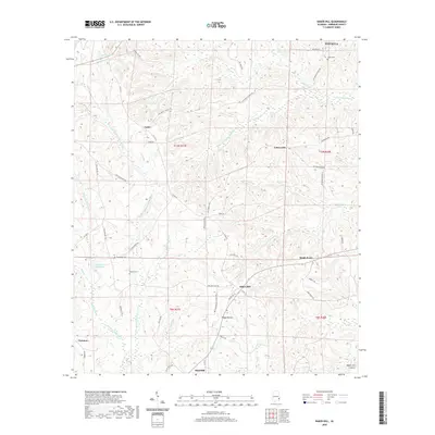
 2014 Baker Hill2014 Print · USGSCovers Bakerhill, including Eufaula, Oateston, and other nearby areas
 - 2014 Map of Lawrenceville, 2014 Print
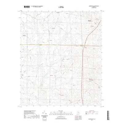
 2014 Lawrenceville2014 Print · USGSCovers Bakerhill, including Richards Crossroads, Edgefield, and other nearby areas
 - 2018 Map of Lawrenceville, 2018 Print
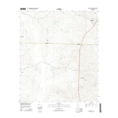
 2018 Lawrenceville2018 Print · USGSCovers Bakerhill, including Richards Crossroads, Edgefield, and other nearby areas
 - 2018 Map of Baker Hill, 2018 Print
 2018 Baker Hill2018 Print · USGSCovers Bakerhill, including Eufaula, Oateston, and other nearby areas
 - 2020 Map of Baker Hill, 2020 Print
 2020 Baker Hill2020 Print · USGSCovers Bakerhill, including Eufaula, Oateston, and other nearby areas
 - 2020 Map of Lawrenceville, 2020 Print
 2020 Lawrenceville2020 Print · USGSCovers Bakerhill, including Richards Crossroads, Edgefield, and other nearby areas
 - 2024 Map of Baker Hill, 2024 Print
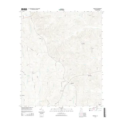
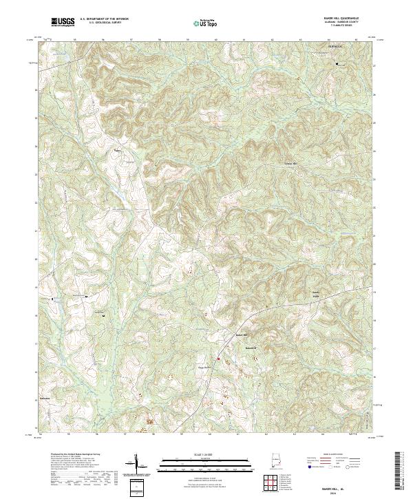 2024 Baker Hill2024 Print · USGSSoutheastern Barbour County's rural townships and the distinct Baker Hill Cuesta are documented in this recent survey. Local historians and genealogists can trace family footprints through historic sites like Sardis Cem, Bakerhill, and Oateston.
 - 2024 Map of Lawrenceville, 2024 Print
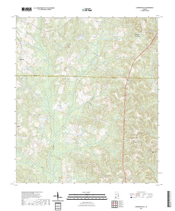 2024 Lawrenceville2024 Print · USGSSoutheast Alabama's rural Henry and Barbour borderlands are captured here in the contemporary era. Researchers can trace local lineage through Lawrenceville Cem and Mount Zion Cem or locate old community hubs like Richards Crossroads.
End of results
Showing maps 1-10 of 10
Top cities near Bakerhill
- Eufaula historical maps
- Abbeville historical maps
- Clayton historical maps
- Fort Gaines historical maps
- Georgetown historical maps
- Blue Springs historical maps
Top neighborhoods of Bakerhill
Frequently asked questions
- What are the different types of historical maps available for Bakerhill?
- What is the oldest map of Bakerhill?
- Where can I purchase historical maps of Bakerhill for my home or office?
- Where can I download high-res historical maps of Bakerhill?
- Are there historical topographic maps available for Bakerhill?
- Is there historical aerial imagery available for Bakerhill?
- Where are historical maps of Bakerhill sourced from?