2000s (21st Century) Maps of Bibb County, Alabama
Explore 107 historic maps of Bibb County from the 2000s (21st Century). These maps offer a rare glimpse into what life looked like during the 2000s — showing old roads, neighborhoods, homes, and landmarks that have changed or disappeared over time.
Whether you're researching your family's past, planning a metal detecting trip, or studying how Bibb County's landscape evolved across the 2000s, these high-resolution maps are a powerful tool for exploring the history of this region.
- Focus on a specific era: All maps on this page are from the 2000s, giving you a focused view of this time period.
- See what’s changed: Compare century-old streets, trails, and buildings to today's modern landscape using overlays and satellite layers.
- Research with precision: Use these maps for genealogy, historical research, land use analysis, or educational projects.
- View, download, or print: Maps are fully viewable online in high resolution, and can be downloaded or printed for your own records.
Start exploring Bibb County's history through authentic maps from the 2000s. This is your window into the past.
Bibb County, AL maps
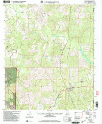
(107)- 2002 Map of Payne Lake, 2003 Print
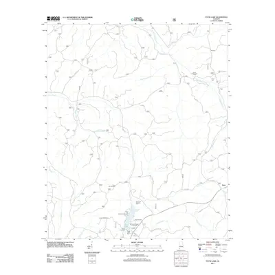
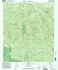 2002 Payne Lake2003 Print · USGSThe Hale and Bibb county line at the start of the twenty-first century reveals a landscape preserved by forest management and local tradition. Genealogists and researchers can trace the locations of Pine Flat Ch, Pisgah Cem, and the settlement at Keeton Corner.
 - 2002 Map of Maplesville West, 2003 Print
 2002 Maplesville West2003 Print · USGSThe borderlands of Bibb and Chilton counties appear here at the start of the new millennium, dominated by the timber stands of the Talladega National Forest. Genealogists and local historians can locate rural landmarks like Rehobeth Ch, the Pleasant Hill Cem, and the timber-country outpost of Lawley.
 - 2002 Map of Duncanville, 2003 Print
 2002 Duncanville2003 Print · USGSTuscaloosa and Hale counties at the start of the 2000s show a landscape of deep timber and protected forest lands. Genealogists and researchers can trace local congregations and landmarks like Mt Zion Ch, Mt Sinai Ch, and the South Sandy Cem.
 - 2002 Map of Oakmulgee, 2003 Print
 2002 Oakmulgee2003 Print · USGSThe Talladega National Forest and the community of Oakmulgee are shown at the turn of the millennium. Local researchers can trace family roots through several rural landmarks, including Harris Cem, Legal Cem, and Liberty Ch.
 - 2002 Map of Pearson, 2003 Print
 2002 Pearson2003 Print · USGSBibb and Tuscaloosa counties are shown here at the turn of the millennium as modern infrastructure met the deep woods. Researchers can locate family landmarks like Hubbard Springs Ch, trace the banks of Big Sandy Creek, or find the small community of Pearson.
 - 2002 Map of Randolph, 2003 Print
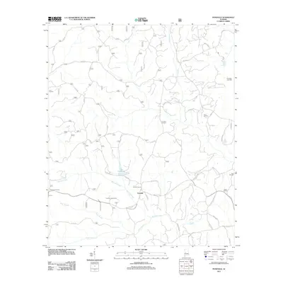
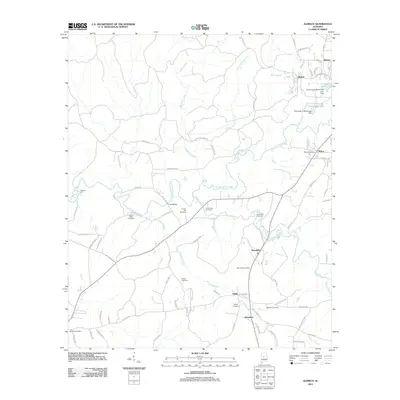
 2002 Randolph2003 Print · USGSThe community of Randolph and its surrounding timberlands are documented here at the turn of the twenty-first century. Family history researchers can locate several rural landmarks including Houlston Sch, Bibb Mill, and the New Prospect Ch Cem.
 - 2002 Map of Harrisburg, 2003 Print
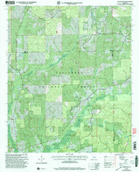
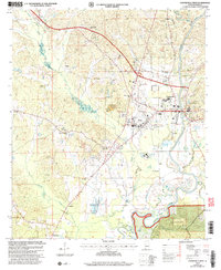
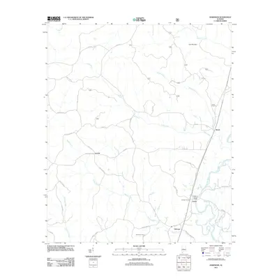
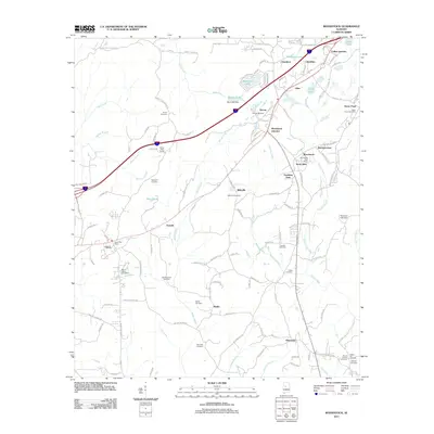
 2002 Harrisburg2003 Print · USGSThe Cahaba River valley in Perry County was a landscape of dense pine forest and quiet river bends at the start of the millennium. Researchers can trace the layout of rural congregations at Antioch Ch and Mt Olive Ch or locate family sites like Perkins Cem.
 - 2002 Map of Heiberger, 2003 Print
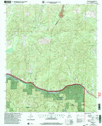
 2002 Heiberger2003 Print · USGSPerry County and the northern reaches of the Talladega National Forest are shown here as they appeared at the turn of the millennium. Local researchers can locate rural landmarks like Heiberger Sch, Jericho, and several namesake cemeteries near the Cahaba River.
 - 2002 Map of Pondville, 2003 Print
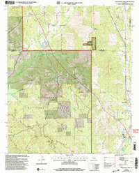
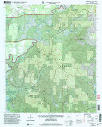
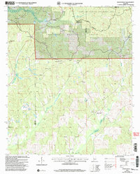
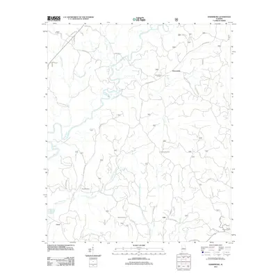
 2002 Pondville2003 Print · USGSBibb County at the turn of the millennium remains a landscape where the Talladega National Forest meets the historic settlement of Pondville. Researchers can locate several rural landmarks including Union Grove Ch, Avery Cem, and a Historical Marker.
 - 2002 Map of Hogglesville, 2003 Print
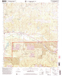
 2002 Hogglesville2003 Print · USGSThe rural uplands of Perry County are documented here as they appeared at the turn of the millennium, centered on the community of Hogglesville. Genealogists and historians can trace numerous legacy sites including Old Shiloh Cem, Morgan Tabernacle, and Faith Chapel.
 - 2002 Map of Centreville East, 2003 Print
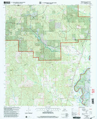
 2002 Centreville East2003 Print · USGSBibb County at the turn of the millennium shows a landscape defined by the expansive Talladega National Forest and the Cahaba River. Researchers can locate historic rural sites like Cahaba Academy, the Crockett McKinney Cem, and the community of Vick.
 - 2002 Map of Centreville West, 2004 Print
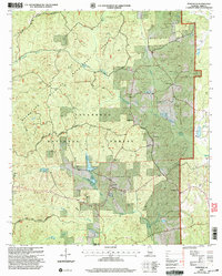
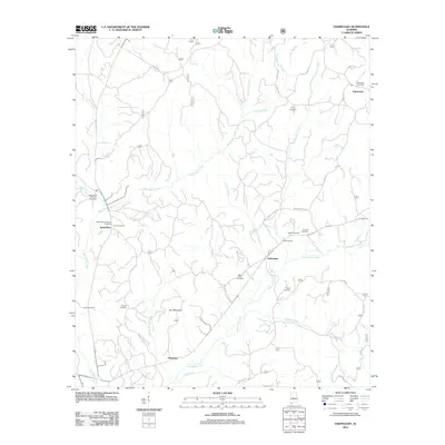
 2002 Centreville West2004 Print · USGSBibb County at the turn of the century shows the enduring layout of Brent and Centreville along the winding Cahaba River. Genealogists can trace family roots through sites like Weldon Cem, Saints Assembly Ch, and the rural community of Harrisburg.
 - 2011 Map of Hogglesville, 2011 Print
 2011 Hogglesville2011 Print · USGSCovers Bibb County, including Brush Creek, Hogglesville, and other nearby areas
 - 2011 Map of Pondville, 2011 Print
 2011 Pondville2011 Print · USGSCovers Bibb County, including Pondville, Perry County, and other nearby areas
 - 2011 Map of Heiberger, 2011 Print
 2011 Heiberger2011 Print · USGSCovers Bibb County, including Ellards, Heiberger, and other nearby areas
 - 2011 Map of Oakmulgee, 2011 Print
 2011 Oakmulgee2011 Print · USGSCovers Bibb County, including Oakmulgee, Tabernacle, and other nearby areas
 - 2011 Map of Centreville West, 2011 Print
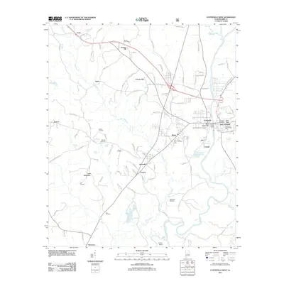 2011 Centreville West2011 Print · USGSCovers Bibb County, including Brent, Centreville, and other nearby areas
 - 2011 Map of Harrisburg, 2011 Print
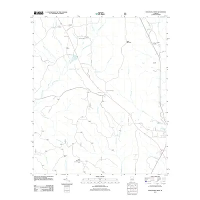
 2011 Harrisburg2011 Print · USGSCovers Bibb County, including Abercrombie, Adler, and other nearby areas
 - 2011 Map of Centreville East, 2011 Print
 2011 Centreville East2011 Print · USGSCovers Bibb County, including Centreville, Vick, and other nearby areas
 - 2011 Map of Payne Lake, 2011 Print
 2011 Payne Lake2011 Print · USGSCovers Bibb County, including Mertz, Hale County, and other nearby areas
 - 2011 Map of Duncanville, 2011 Print
 2011 Duncanville2011 Print · USGSCovers Bibb County, including Duncanville, Raintree Country, and other nearby areas
 - 2011 Map of Woodstock, 2011 Print
 2011 Woodstock2011 Print · USGSCovers Bibb County, including Tuscaloosa, Vance, and other nearby areas
 - 2011 Map of Aldrich, 2011 Print
 2011 Aldrich2011 Print · USGSCovers Bibb County, including Montevallo, Wilton, and other nearby areas
 - 2011 Map of Pea Ridge, 2011 Print
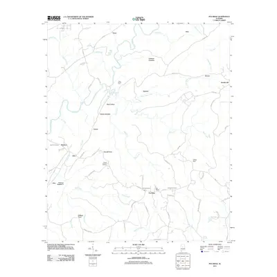 2011 Pea Ridge2011 Print · USGSCovers Bibb County, including Alabaster, Helena, and other nearby areas
 - 2011 Map of Maplesville West, 2011 Print
 2011 Maplesville West2011 Print · USGSCovers Bibb County, including Maplesville, Active, and other nearby areas
Showing maps 1-25 of 107
Top cities of Bibb County
Frequently asked questions
- What are the different types of historical maps available for Bibb County?
- What is the oldest map of Bibb County?
- Where can I purchase historical maps of Bibb County for my home or office?
- Where can I download high-res historical maps of Bibb County?
- Are there historical topographic maps available for Bibb County?
- Is there historical aerial imagery available for Bibb County?
- Where are historical maps of Bibb County sourced from?