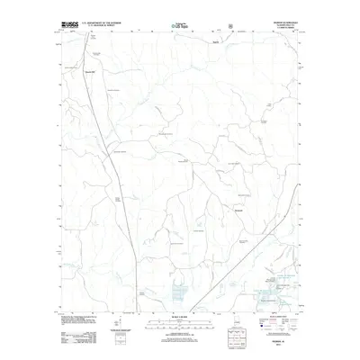
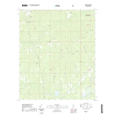
2002 Map of Payne Lake
USGS Topo · Published 2003About this map
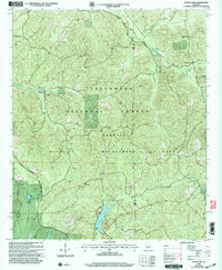
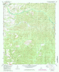
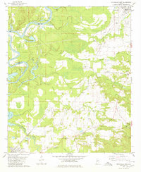
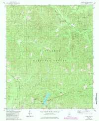
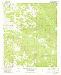
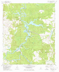
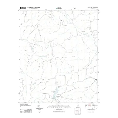
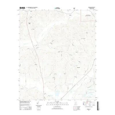
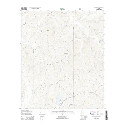
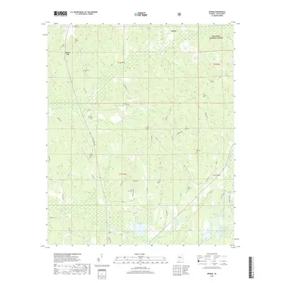
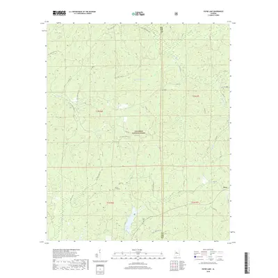
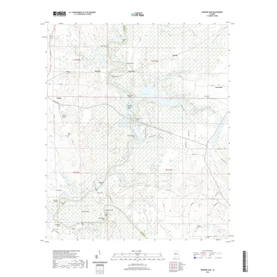
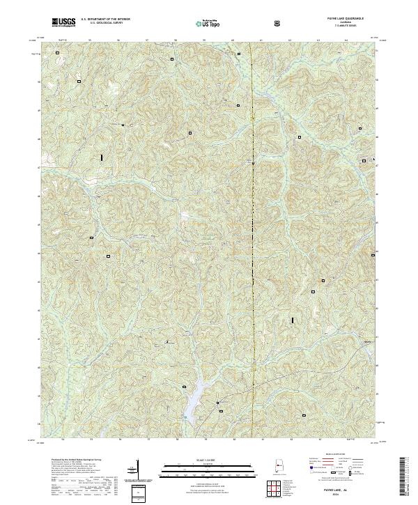
Payne Lake serves as a central landmark in this 2002 revision of the West Alabama landscape, situated along the county line where Hale Co meets Bibb Co. The region is defined by its deep integration into the Talladega National Forest and the Oakmulgee Wildlife Management Area, where a dense network of drainage systems like West Elliotts Creek and South Sandy Creek carve through the timberland. For local historians, the presence of Pine Flat MBC Cem and Pisgah Cem provides essential genealogical markers in an area otherwise dominated by forest management and conservation efforts.
Find a feature on this map
21 named features on this map. Tap any name to fly to it.
Don’t see what you’re looking for? This feature index may not catch every label — zoom into the map to look around manually.
Map Details
Editions of this 2002 Payne Lake Map
This is the sole edition of this map. No revisions or reprints were ever made.
Historical Maps of Mertz Through Time
51 maps found
1980 Casemore
Hale County, AL
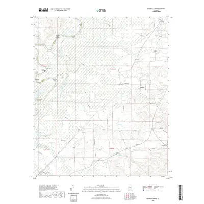
1980 Ingram
Hale County, AL
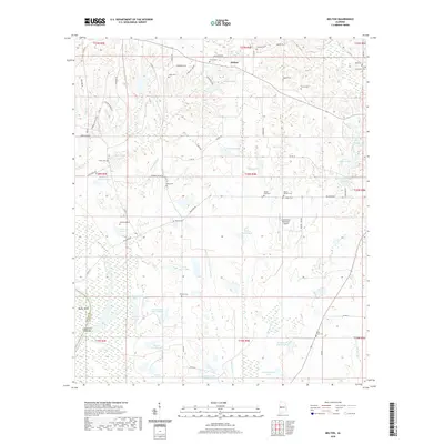
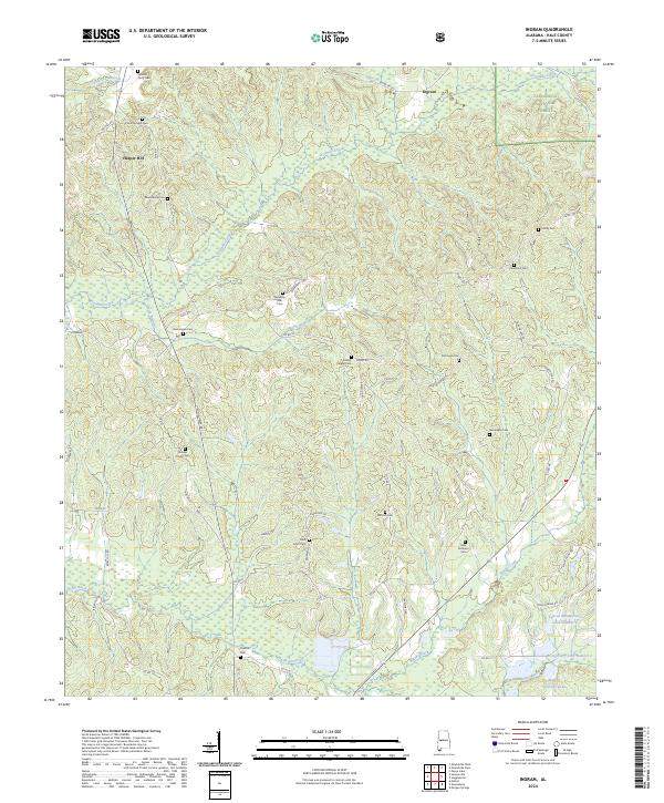
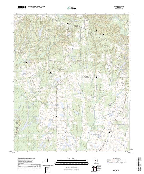
1980 Melton
Hale County, AL
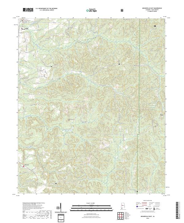
1980 Moundville East
Hale County, AL
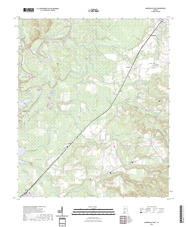
1980 Moundville West
Hale County, AL
1980 Payne Lake
Hale County, AL
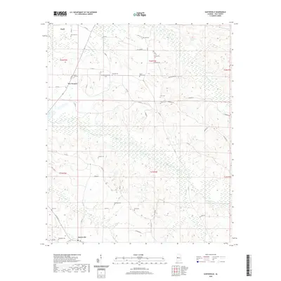
1980 Sawyerville
Hale County, AL
1980 Warrior Dam
Hale County, AL
2002 Ingram
Hale County, AL
2002 Moundville East
Hale County, AL
2002 Payne Lake
Hale County, AL
2011 Casemore
Hale County, AL
2011 Ingram
Hale County, AL
2011 Melton
Hale County, AL
2011 Moundville East
Hale County, AL
2011 Moundville West
Hale County, AL
2011 Payne Lake
Hale County, AL
2011 Sawyerville
Hale County, AL
2011 Warrior Dam
Hale County, AL
2014 Casemore
Hale County, AL
2014 Ingram
Hale County, AL
2014 Melton
Hale County, AL
2014 Moundville East
Hale County, AL
2014 Moundville West
Hale County, AL
2014 Payne Lake
Hale County, AL
2014 Sawyerville
Hale County, AL
2014 Warrior Dam
Hale County, AL
2018 Casemore
Hale County, AL
2018 Ingram
Hale County, AL
2018 Melton
Hale County, AL
2018 Moundville East
Hale County, AL
2018 Moundville West
Hale County, AL
2018 Payne Lake
Hale County, AL
2018 Sawyerville
Hale County, AL
2018 Warrior Dam
Hale County, AL
2020 Casemore
Hale County, AL
2020 Melton
Hale County, AL
2020 Moundville West
Hale County, AL
2020 Sawyerville
Hale County, AL
2020 Warrior Dam
Hale County, AL
2021 Ingram
Hale County, AL
2021 Moundville East
Hale County, AL
2021 Payne Lake
Hale County, AL
2024 Casemore
Hale County, AL
2024 Ingram
Hale County, AL
2024 Melton
Hale County, AL
2024 Moundville East
Hale County, AL
2024 Moundville West
Hale County, AL
2024 Payne Lake
Hale County, AL
2024 Sawyerville
Hale County, AL
2024 Warrior Dam
Hale County, AL