2000s (21st Century) Maps of Blount County, Alabama
Explore 117 historic maps of Blount County from the 2000s (21st Century). These maps offer a rare glimpse into what life looked like during the 2000s — showing old roads, neighborhoods, homes, and landmarks that have changed or disappeared over time.
Whether you're researching your family's past, planning a metal detecting trip, or studying how Blount County's landscape evolved across the 2000s, these high-resolution maps are a powerful tool for exploring the history of this region.
- Focus on a specific era: All maps on this page are from the 2000s, giving you a focused view of this time period.
- See what’s changed: Compare century-old streets, trails, and buildings to today's modern landscape using overlays and satellite layers.
- Research with precision: Use these maps for genealogy, historical research, land use analysis, or educational projects.
- View, download, or print: Maps are fully viewable online in high resolution, and can be downloaded or printed for your own records.
Start exploring Blount County's history through authentic maps from the 2000s. This is your window into the past.
Blount County, AL maps
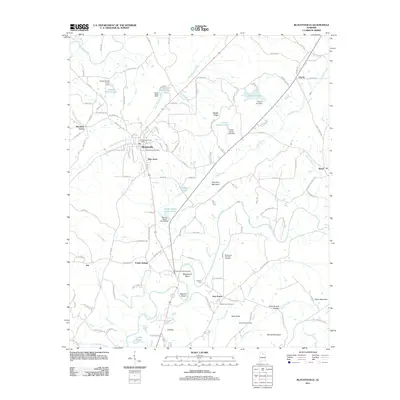
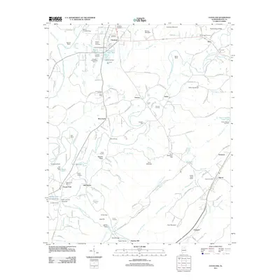
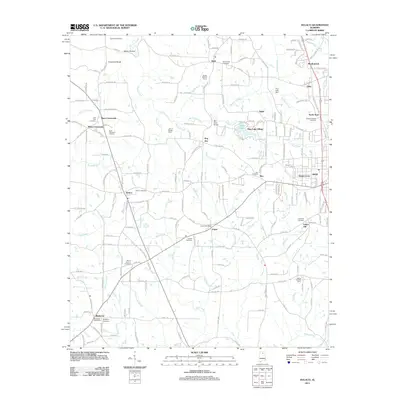
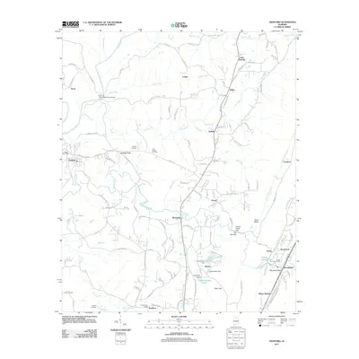
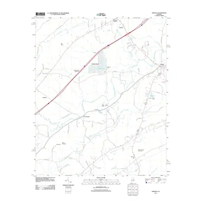
(117)- 2011 Map of Brooksville, 2011 Print
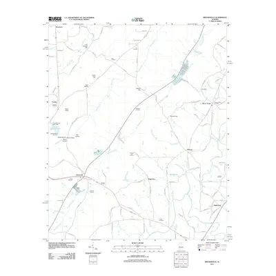 2011 Brooksville2011 Print · USGSCovers Blount County, including Snead, Nixon Chapel, and other nearby areas
 - 2011 Map of Springville, 2011 Print
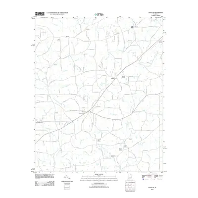
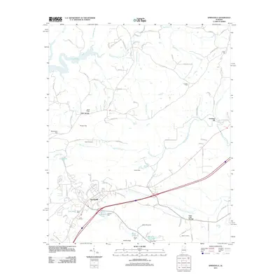 2011 Springville2011 Print · USGSCovers Blount County, including Odenville, Springville, and other nearby areas
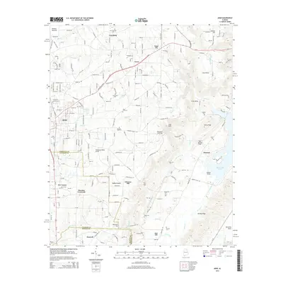
 - 2011 Map of Arab, 2011 Print
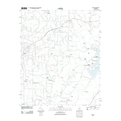 2011 Arab2011 Print · USGSCovers Blount County, including Arab, Diamond, and other nearby areas
 - 2011 Map of Remlap, 2011 Print
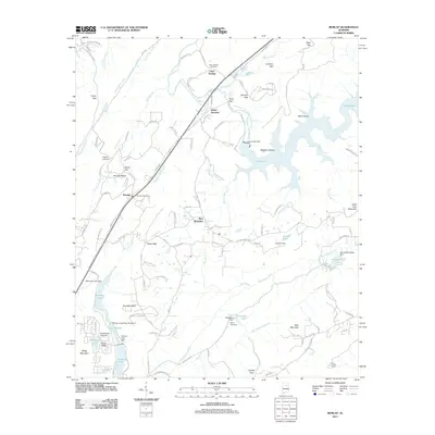 2011 Remlap2011 Print · USGSCovers Blount County, including Clay, Pinson, and other nearby areas
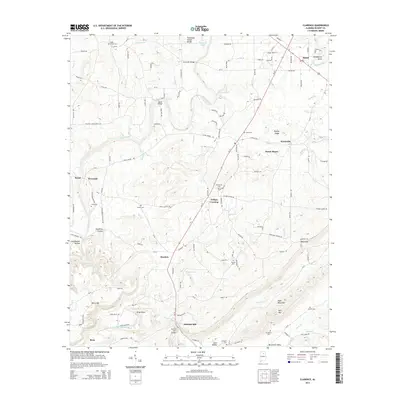
 - 2011 Map of Clarence, 2011 Print
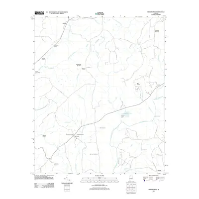
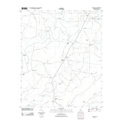 2011 Clarence2011 Print · USGSCovers Blount County, including Snead, Susan Moore, and other nearby areas
 - 2011 Map of Blountsville, 2011 Print
 2011 Blountsville2011 Print · USGSCovers Blount County, including Blountsville, Cleveland, and other nearby areas
 - 2011 Map of Holly Pond, 2011 Print
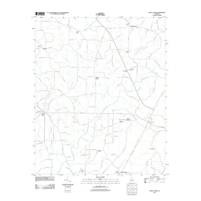 2011 Holly Pond2011 Print · USGSCovers Blount County, including Holly Pond, Baileyton, and other nearby areas
 - 2011 Map of Creel, 2011 Print
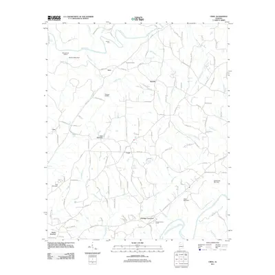 2011 Creel2011 Print · USGSCovers Blount County, including Hayden, York Mountain, and other nearby areas
 - 2011 Map of Blount Springs, 2011 Print
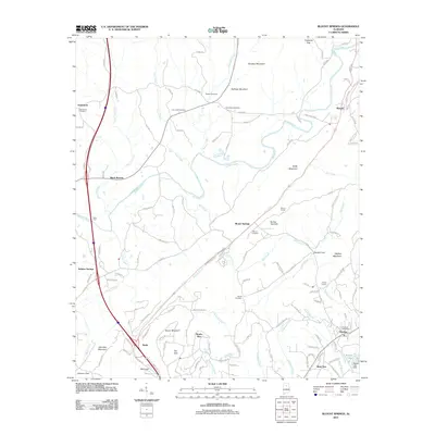 2011 Blount Springs2011 Print · USGSCovers Blount County, including Hayden, Garden City, and other nearby areas
 - 2011 Map of Cleveland, 2011 Print
 2011 Cleveland2011 Print · USGSCovers Blount County, including Oneonta, Cleveland, and other nearby areas
 - 2011 Map of Oneonta, 2011 Print
 2011 Oneonta2011 Print · USGSCovers Blount County, including Oneonta, Highland Lake, and other nearby areas
 - 2011 Map of Garden City, 2011 Print
 2011 Garden City2011 Print · USGSCovers Blount County, including Hanceville, Garden City, and other nearby areas
 - 2011 Map of Hulaco, 2011 Print
 2011 Hulaco2011 Print · USGSCovers Blount County, including Arab, Baileyton, and other nearby areas
 - 2011 Map of Douglas, 2011 Print
 2011 Douglas2011 Print · USGSCovers Blount County, including Albertville, New Union, and other nearby areas
 - 2011 Map of Altoona, 2011 Print
 2011 Altoona2011 Print · USGSCovers Blount County, including Snead, New Union, and other nearby areas
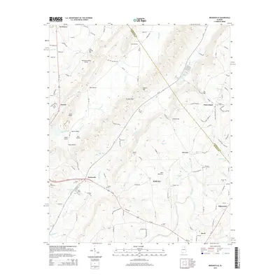
 - 2011 Map of Hyatt Gap, 2011 Print
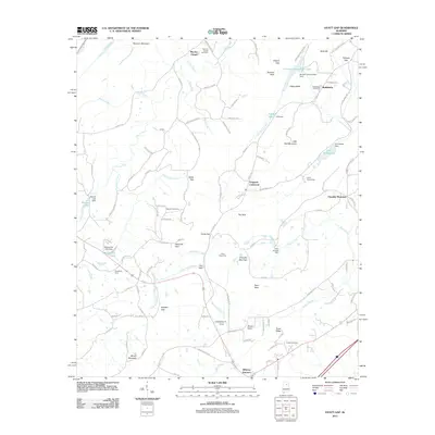 2011 Hyatt Gap2011 Print · USGSCovers Blount County, including Ashville, Chandler Mountain, and other nearby areas
 - 2011 Map of Trafford, 2011 Print
 2011 Trafford2011 Print · USGSCovers Blount County, including Pinson, Hayden, and other nearby areas
 - 2011 Map of Arkadelphia, 2011 Print
 2011 Arkadelphia2011 Print · USGSCovers Blount County, including Hayden, Colony, and other nearby areas
 - 2011 Map of Warrior, 2011 Print
 2011 Warrior2011 Print · USGSCovers Blount County, including Kimberly, Warrior, and other nearby areas
 - 2011 Map of Nectar, 2011 Print
 2011 Nectar2011 Print · USGSCovers Blount County, including Hayden, Locust Fork, and other nearby areas
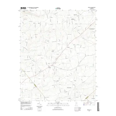
 - 2011 Map of Ashville, 2011 Print
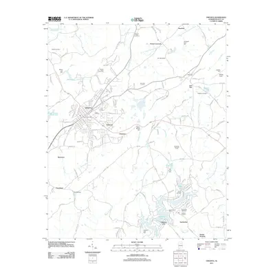
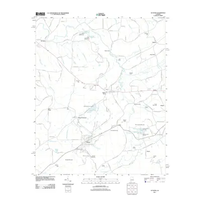
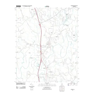
 2011 Ashville2011 Print · USGSCovers Blount County, including Ashville, Cool Springs, and other nearby areas
 - 2014 Map of Arab, 2014 Print
 2014 Arab2014 Print · USGSCovers Blount County, including Arab, Diamond, and other nearby areas
 - 2014 Map of Douglas, 2014 Print
 2014 Douglas2014 Print · USGSCovers Blount County, including Albertville, New Union, and other nearby areas
 - 2014 Map of Brooksville, 2014 Print
 2014 Brooksville2014 Print · USGSCovers Blount County, including Snead, Nixon Chapel, and other nearby areas
 - 2014 Map of Clarence, 2014 Print
 2014 Clarence2014 Print · USGSCovers Blount County, including Snead, Susan Moore, and other nearby areas
Showing maps 1-25 of 117
Top cities of Blount County
- Oneonta historical maps
- Blountsville historical maps
- Hayden historical maps
- Cleveland historical maps
- Locust Fork historical maps
- Snead historical maps
See more
Frequently asked questions
- What are the different types of historical maps available for Blount County?
- What is the oldest map of Blount County?
- Where can I purchase historical maps of Blount County for my home or office?
- Where can I download high-res historical maps of Blount County?
- Are there historical topographic maps available for Blount County?
- Is there historical aerial imagery available for Blount County?
- Where are historical maps of Blount County sourced from?