2000s (21st Century) Maps of Hayden, Alabama
Explore 31 historic maps of Hayden from the 2000s (21st Century). These maps offer a rare glimpse into what life looked like during the 2000s — showing old roads, neighborhoods, homes, and landmarks that have changed or disappeared over time.
Whether you're researching your family's past, planning a metal detecting trip, or studying how Hayden's landscape evolved across the 2000s, these high-resolution maps are a powerful tool for exploring the history of this region.
- Focus on a specific era: All maps on this page are from the 2000s, giving you a focused view of this time period.
- See what’s changed: Compare century-old streets, trails, and buildings to today's modern landscape using overlays and satellite layers.
- Research with precision: Use these maps for genealogy, historical research, land use analysis, or educational projects.
- View, download, or print: Maps are fully viewable online in high resolution, and can be downloaded or printed for your own records.
Start exploring Hayden's history through authentic maps from the 2000s. This is your window into the past.
Hayden, AL maps
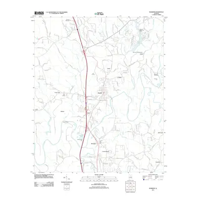
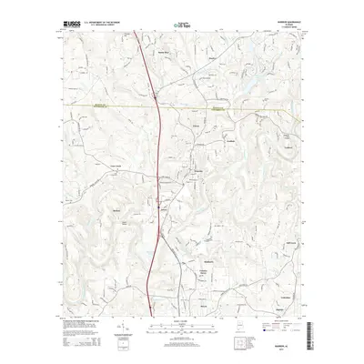
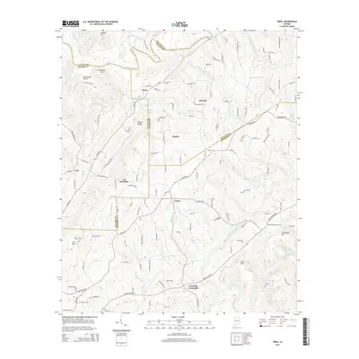
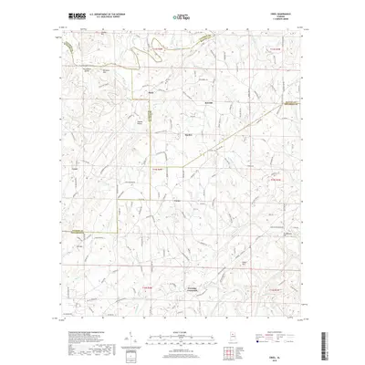
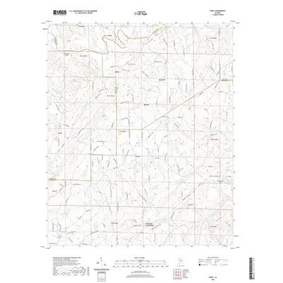
(31)- 2011 Map of Creel, 2011 Print
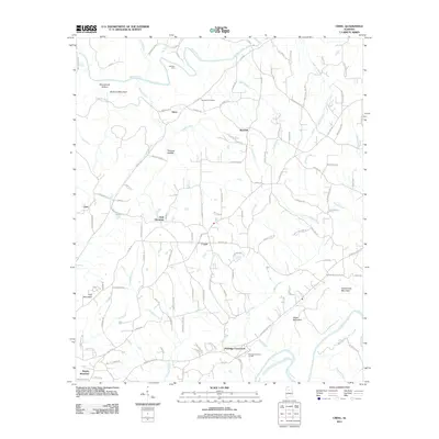 2011 Creel2011 Print · USGSCovers Hayden, including York Mountain, Corner, and other nearby areas
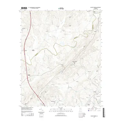
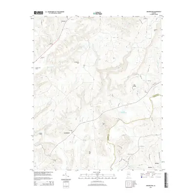
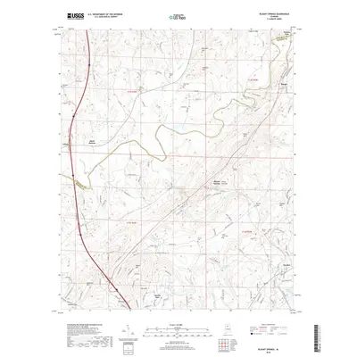
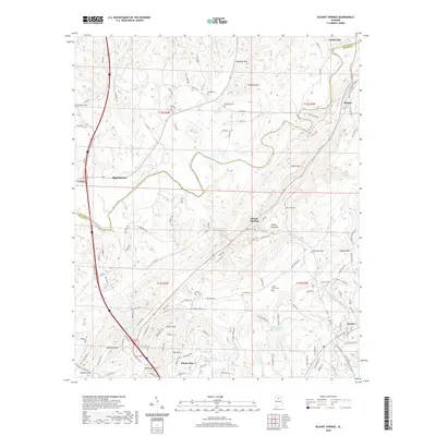
 - 2011 Map of Blount Springs, 2011 Print
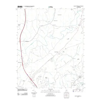 2011 Blount Springs2011 Print · USGSCovers Hayden, including Garden City, Colony, and other nearby areas
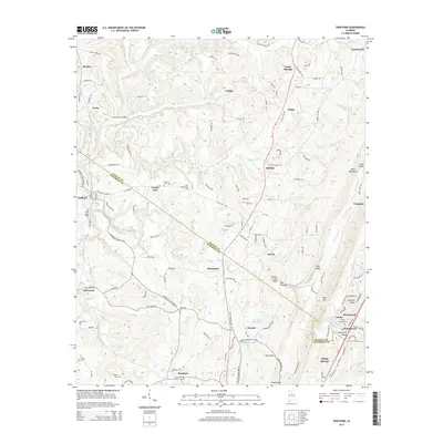
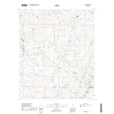
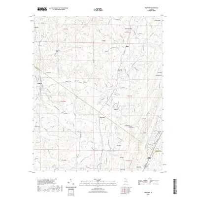
 - 2011 Map of Trafford, 2011 Print
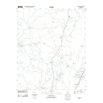 2011 Trafford2011 Print · USGSCovers Hayden, including Pinson, Locust Fork, and other nearby areas
 - 2011 Map of Arkadelphia, 2011 Print
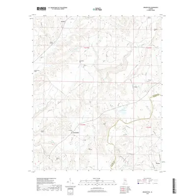
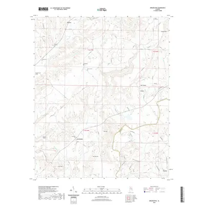
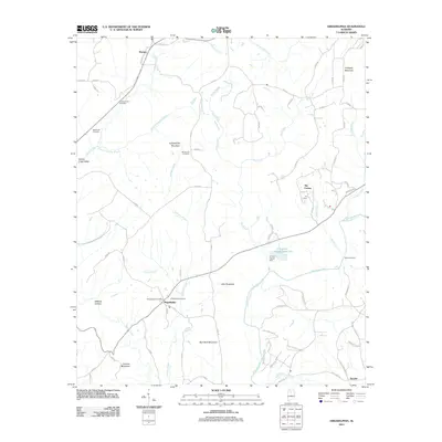 2011 Arkadelphia2011 Print · USGSCovers Hayden, including Colony, Arkadelphia, and other nearby areas
 - 2011 Map of Warrior, 2011 Print
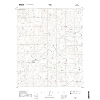
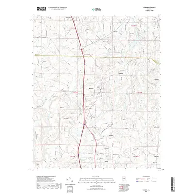
 2011 Warrior2011 Print · USGSCovers Hayden, including Kimberly, Warrior, and other nearby areas
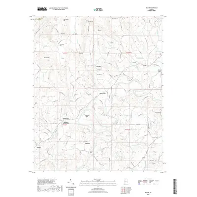
 - 2011 Map of Nectar, 2011 Print
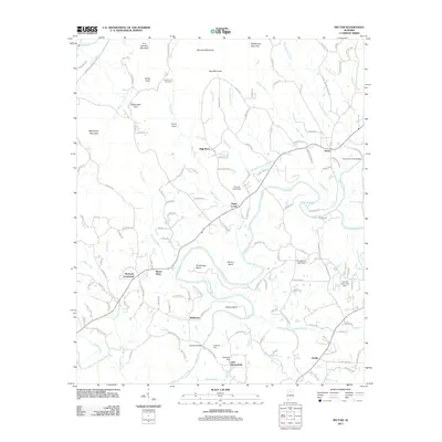 2011 Nectar2011 Print · USGSCovers Hayden, including Locust Fork, Garden City, and other nearby areas
 - 2014 Map of Blount Springs, 2014 Print
 2014 Blount Springs2014 Print · USGSCovers Hayden, including Garden City, Colony, and other nearby areas
 - 2014 Map of Nectar, 2014 Print
 2014 Nectar2014 Print · USGSCovers Hayden, including Locust Fork, Garden City, and other nearby areas
 - 2014 Map of Warrior, 2014 Print
 2014 Warrior2014 Print · USGSCovers Hayden, including Kimberly, Warrior, and other nearby areas
 - 2014 Map of Arkadelphia, 2014 Print
 2014 Arkadelphia2014 Print · USGSCovers Hayden, including Colony, Arkadelphia, and other nearby areas
 - 2014 Map of Trafford, 2014 Print
 2014 Trafford2014 Print · USGSCovers Hayden, including Pinson, Locust Fork, and other nearby areas
 - 2014 Map of Creel, 2014 Print
 2014 Creel2014 Print · USGSCovers Hayden, including York Mountain, Corner, and other nearby areas
 - 2018 Map of Nectar, 2018 Print
 2018 Nectar2018 Print · USGSCovers Hayden, including Locust Fork, Garden City, and other nearby areas
 - 2018 Map of Arkadelphia, 2018 Print
 2018 Arkadelphia2018 Print · USGSCovers Hayden, including Colony, Arkadelphia, and other nearby areas
 - 2018 Map of Creel, 2018 Print
 2018 Creel2018 Print · USGSCovers Hayden, including York Mountain, Corner, and other nearby areas
 - 2018 Map of Warrior, 2018 Print
 2018 Warrior2018 Print · USGSCovers Hayden, including Kimberly, Warrior, and other nearby areas
 - 2018 Map of Trafford, 2018 Print
 2018 Trafford2018 Print · USGSCovers Hayden, including Pinson, Locust Fork, and other nearby areas
 - 2018 Map of Blount Springs, 2018 Print
 2018 Blount Springs2018 Print · USGSCovers Hayden, including Garden City, Colony, and other nearby areas
 - 2020 Map of Nectar, 2020 Print
 2020 Nectar2020 Print · USGSCovers Hayden, including Locust Fork, Garden City, and other nearby areas
 - 2020 Map of Blount Springs, 2020 Print
 2020 Blount Springs2020 Print · USGSCovers Hayden, including Garden City, Colony, and other nearby areas
 - 2020 Map of Trafford, 2020 Print
 2020 Trafford2020 Print · USGSCovers Hayden, including Pinson, Locust Fork, and other nearby areas
 - 2020 Map of Warrior, 2020 Print
 2020 Warrior2020 Print · USGSCovers Hayden, including Kimberly, Warrior, and other nearby areas
 - 2020 Map of Arkadelphia, 2020 Print
 2020 Arkadelphia2020 Print · USGSCovers Hayden, including Colony, Arkadelphia, and other nearby areas
 - 2020 Map of Creel, 2020 Print
 2020 Creel2020 Print · USGSCovers Hayden, including York Mountain, Corner, and other nearby areas
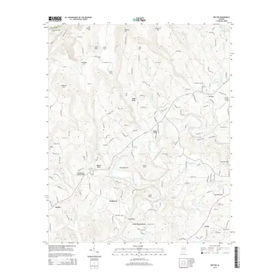
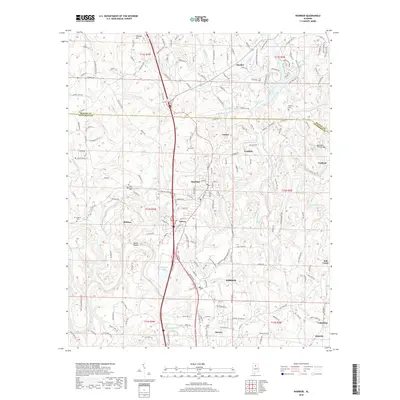
 - 2024 Map of Trafford, 2024 Print
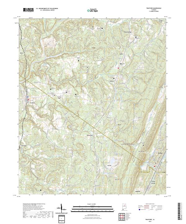 2024 Trafford2024 Print · USGSThe hill country of Blount and Jefferson Counties is mapped here in detail, showing the winding Locust Fork and the ridges of Sand Mountain. Genealogists can trace family histories through numerous sites like Youngblood Family Cemetery and Village Springs Cemetery.
Showing maps 1-25 of 31
Top cities near Hayden
- Trussville historical maps
- Cullman historical maps
- Gardendale historical maps
- Clay historical maps
- Pinson historical maps
- Oneonta historical maps
See more
Frequently asked questions
- What are the different types of historical maps available for Hayden?
- What is the oldest map of Hayden?
- Where can I purchase historical maps of Hayden for my home or office?
- Where can I download high-res historical maps of Hayden?
- Are there historical topographic maps available for Hayden?
- Is there historical aerial imagery available for Hayden?
- Where are historical maps of Hayden sourced from?