Old Maps of Union Springs, Alabama for Academic Research
Study the evolution of Union Springs with 16 high-resolution historic maps. Whether you're teaching, researching, or modeling changes in land use, these maps provide essential visual documentation of urban, environmental, and geographic change.
- Analyze long-term change: Track patterns in development, transportation, and natural features.
- Ideal for environmental or urban studies: Support academic projects with primary historical map data.
- Use in the classroom or lab: Educators and researchers rely on these maps to bring historical context to life.
These maps are a powerful tool for teaching, research, and visualizing how Union Springs has changed over the decades.
Union Springs, AL maps
(16)- 1955 Map of Phenix City, 1964 Print
 1955 Phenix City1964 Print · USGSPost-war Alabama and Georgia meet along the Chattahoochee River as industry and military installations expand. Trace the rail lines of the Central of Georgia through towns like Opelika, Tuskegee, and Alexander City.3 unique versions available
 - 1957 Map of Phenix City
 1957 Phenix City1957 Print · USGSThe Alabama-Georgia borderlands are captured here in the mid-fifties, centered on the bustling river crossing at Phenix City and Columbus. Researchers can trace the mid-century footprint of the Fort Benning Military Reservation or locate smaller textile and railroad towns like Langdale and Camp Hill.
 - 1958 Map of Phenix City
 1958 Phenix City1958 Print · USGSThe Alabama-Georgia borderlands thrive during the late fifties, anchored by the river-driven industry of Columbus and Phenix City. Researchers can trace the mid-century footprints of Fort Benning, Auburn, and the textile towns of Fairfax and Lanett.
 - 1973 Map of Union Springs, 1976 Print
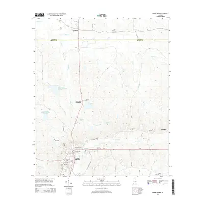
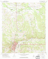 1973 Union Springs1976 Print · USGSUnion Springs and its surrounding Bullock County countryside are captured here in the early 1970s at a peak of rail and agricultural connectivity. Genealogists can trace family roots through numerous sites like Oak Hill Cem, St Paul Ch, and the community of Fort Davis.
 - 1973 Map of Aberfoil, 1976 Print
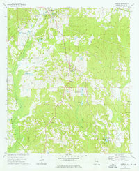 1973 Aberfoil1976 Print · USGSBullock County settlements south of Union Springs appear in the mid-1970s as the local economy balanced rail transport and clay extraction. Researchers can trace the Indian Treaty Boundary or locate rural family landmarks like Elizabeth Ch and the Dasinger Cem.
 - 1981 Map of Tuskegee, 1982 Print
 1981 Tuskegee1982 Print · USGSMacon and Bullock counties are captured here in the early eighties, showcasing a landscape deeply tied to the railroad and the legacies of Tuskegee Institute. Researchers can locate specific sites from Moton Field to rural settlements along the Seaboard Coast Line like Hurtsboro and Pittsview.2 unique versions available
 - 2011 Map of Union Springs, 2011 Print
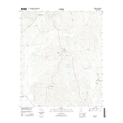
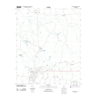 2011 Union Springs2011 Print · USGSCovers Union Springs, including Armstrong, Fort Davis, and other nearby areas
 - 2011 Map of Aberfoil, 2011 Print
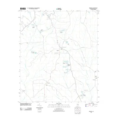 2011 Aberfoil2011 Print · USGSCovers Union Springs, including Stavo, Aberfoil, and other nearby areas
 - 2014 Map of Aberfoil, 2014 Print
 2014 Aberfoil2014 Print · USGSCovers Union Springs, including Stavo, Aberfoil, and other nearby areas
 - 2014 Map of Union Springs, 2014 Print
 2014 Union Springs2014 Print · USGSCovers Union Springs, including Armstrong, Fort Davis, and other nearby areas
 - 2018 Map of Union Springs, 2018 Print
 2018 Union Springs2018 Print · USGSCovers Union Springs, including Armstrong, Fort Davis, and other nearby areas
 - 2018 Map of Aberfoil, 2018 Print
 2018 Aberfoil2018 Print · USGSCovers Union Springs, including Stavo, Aberfoil, and other nearby areas
 - 2020 Map of Union Springs, 2020 Print
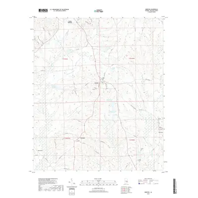
 2020 Union Springs2020 Print · USGSCovers Union Springs, including Armstrong, Fort Davis, and other nearby areas
 - 2020 Map of Aberfoil, 2020 Print
 2020 Aberfoil2020 Print · USGSCovers Union Springs, including Stavo, Aberfoil, and other nearby areas
 - 2024 Map of Aberfoil, 2024 Print
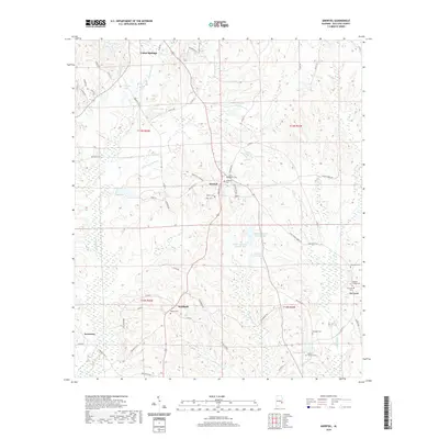
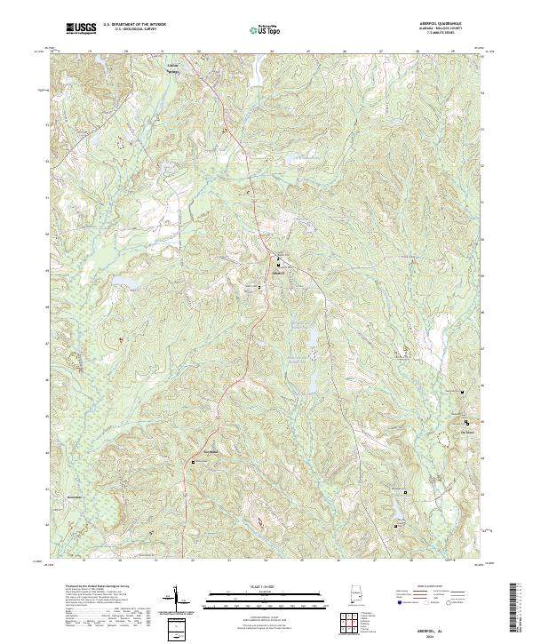 2024 Aberfoil2024 Print · USGSBullock County's rural heartland is documented here in the early twenty-first century, showing a landscape of small communities and family landmarks. Researchers can trace the heritage of the area through Lydia Baptist Cem, Elizabeth Cem, and settlements like Scotland and Aberfoil.
 - 2024 Map of Union Springs, 2024 Print
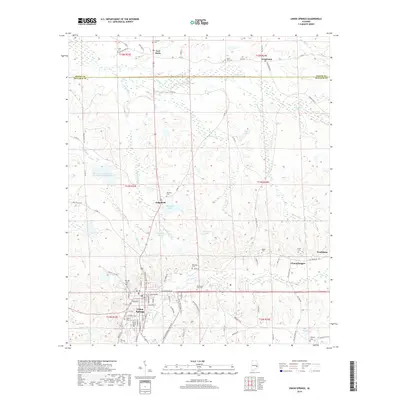
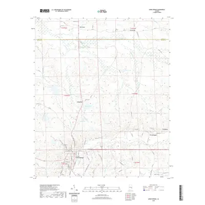
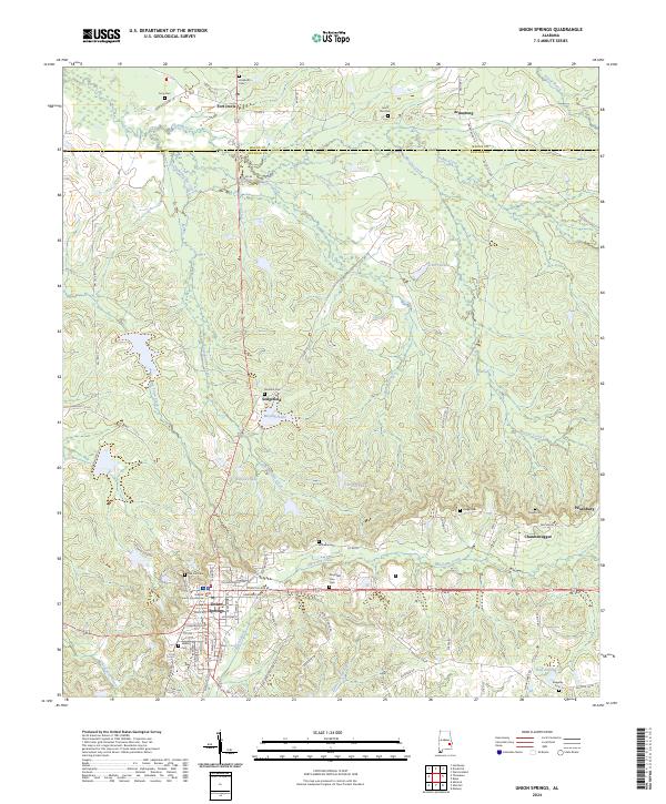 2024 Union Springs2024 Print · USGSUnion Springs and its surrounding rural communities are documented in this recent survey of the Alabama Black Belt. Genealogists and researchers can trace local family history through numerous sites like Oak Hill Cem, Chunnenuggee, and the Bullock County Courthouse.
End of results
Showing maps 1-16 of 16
Top cities near Union Springs
Frequently asked questions
- What are the different types of historical maps available for Union Springs?
- What is the oldest map of Union Springs?
- Where can I purchase historical maps of Union Springs for my home or office?
- Where can I download high-res historical maps of Union Springs?
- Are there historical topographic maps available for Union Springs?
- Is there historical aerial imagery available for Union Springs?
- Where are historical maps of Union Springs sourced from?