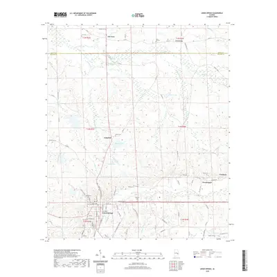
2020 Map of Union Springs
USGS Topo · Published 2020About this map
Union Springs serves as the central hub of this South Alabama landscape, dominated by the rolling divide between the Conecuh River and the upper tributaries of the Cubahatchee Cr. The town is anchored by the Bullock County Courthouse, with its historic street grid extending toward Oak Hill Cem and Mason Cem. Surrounding the municipal center, the map reveals a network of rural settlements like Sedgefield and Chunnenuggee, where numerous family and community burial grounds, including Williams Cem and Moultrie Cem, point to long-established agricultural ties. The terrain is marked by numerous small impoundments such as Bentons Lake and Cochrans Lake, illustrating the area's transition into a landscape of private estates and timberland managed alongside the winding Little Conecuh River.
Find a feature on this map
79 named features on this map. Tap any name to fly to it.
Don’t see what you’re looking for? This feature index may not catch every label — zoom into the map to look around manually.
Map Details
Editions of this 2020 Union Springs Map
This is the sole edition of this map. No revisions or reprints were ever made.
Other maps of this area

1955 · Phenix City
USGS Topo · 1:250,000

1957 · Phenix City
USGS Topo · 1:250,000

1958 · Phenix City
USGS Topo · 1:250,000

1971 · Hardaway
USGS Topo · 1:24,000

1971 · Thompson
USGS Topo · 1:24,000
1971 · Almeria
USGS Topo · 1:24,000
1973 · Union Springs
USGS Topo · 1:24,000
1973 · Midway
USGS Topo · 1:24,000
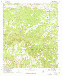
1973 · Roba
USGS Topo · 1:24,000
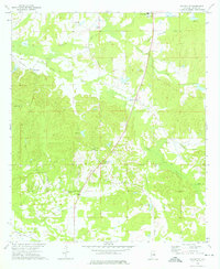
1973 · Davisville
USGS Topo · 1:24,000