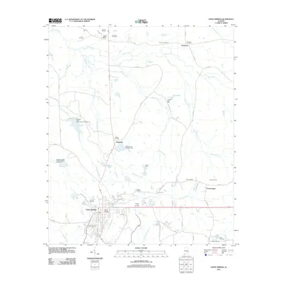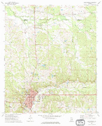
1973 Map of Union Springs
USGS Topo · Published 1976About this map
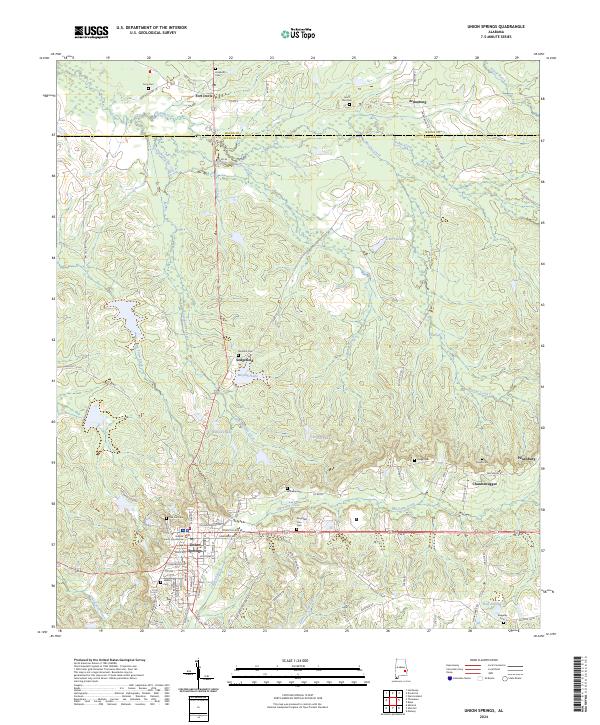
Union Springs stands as a significant regional hub where the Central Of Georgia rail line intersects the northern-flowing headwaters of the Conecuh River. This 1970s survey captures the city's established infrastructure, featuring the Courthouse, City Hall, and several local landmarks like the Union Springs Country Club and Ave Middle Sch. The surrounding landscape is a complex network of creeks, including Cubahatchee Creek and Moores Creek, which drain the undulating terrain between the Macon Co Bullock Co line.
Find a feature on this map
49 named features on this map. Tap any name to fly to it.
Don’t see what you’re looking for? This feature index may not catch every label — zoom into the map to look around manually.
Map Details
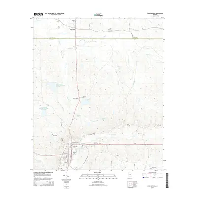
Editions of this 1973 Union Springs Map
This is the sole edition of this map. No revisions or reprints were ever made.
Historical Maps of Union Springs Through Time
6 maps found