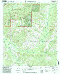
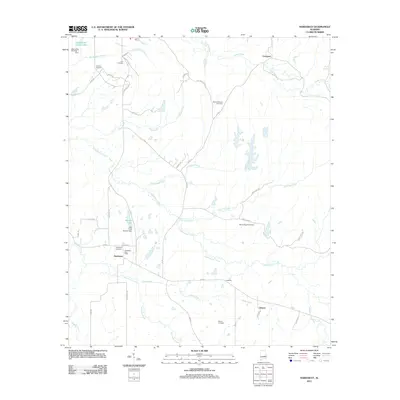
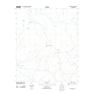
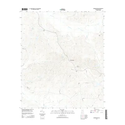
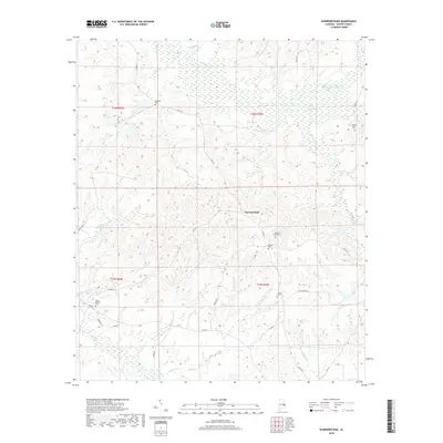
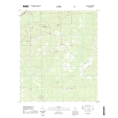
1973 Map of Warriorstand
USGS Topo · Published 1976About this map
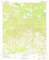
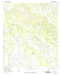
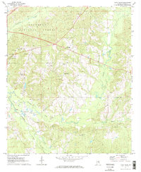
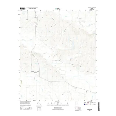
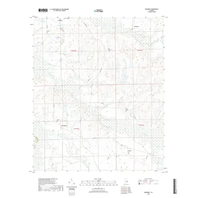
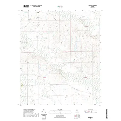
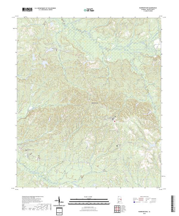
Warriorstand serves as the focal point for this rural landscape in the mid-1970s, situated among the dense creek networks of Macon County. The community's social geography is anchored by several small country churches and cemeteries, including Magnolia Ch and Coopers Chapel, alongside the South Macon High Sch and Sweet Pilgrim Cem to the southwest. The terrain is defined by a significant wetland system known as Big Swamp, which feeds into the larger Opintlocco Creek.
Find a feature on this map
19 named features on this map. Tap any name to fly to it.
Don’t see what you’re looking for? This feature index may not catch every label — zoom into the map to look around manually.
Map Details
Editions of this 1973 Warriorstand Map
This is the sole edition of this map. No revisions or reprints were ever made.
Historical Maps of Warriorstand Through Time
49 maps found
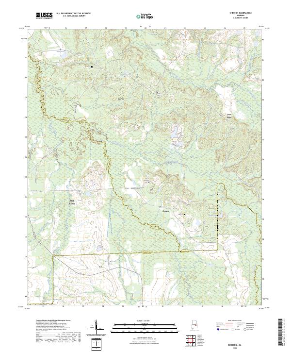
1971 Chesson
Macon County, AL
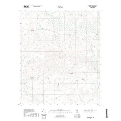
1971 Hardaway
Macon County, AL
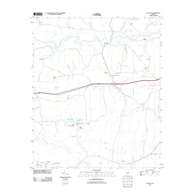
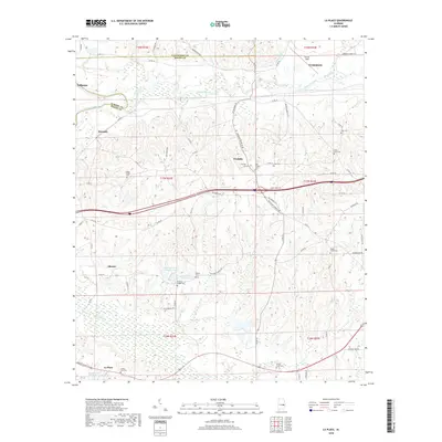
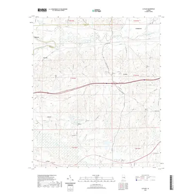
1971 La Place
Macon County, AL
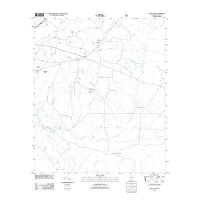
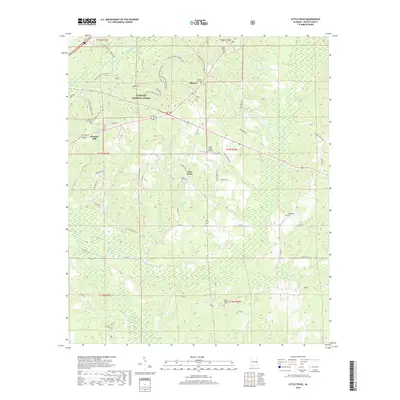
1971 Little Texas
Macon County, AL
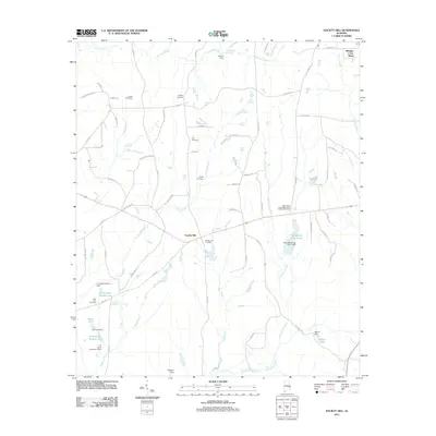
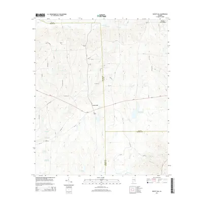
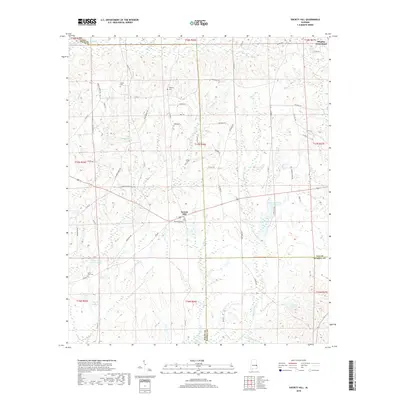
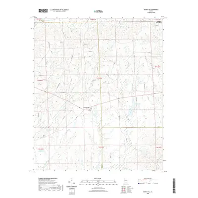
1971 Society Hill
Macon County, AL
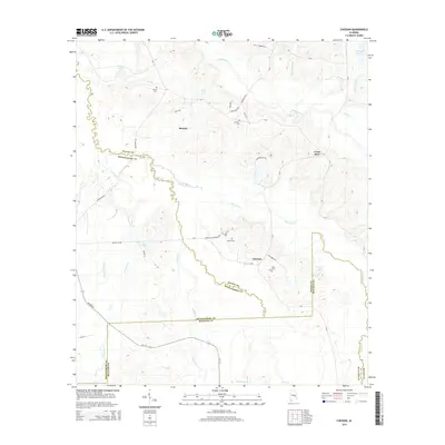
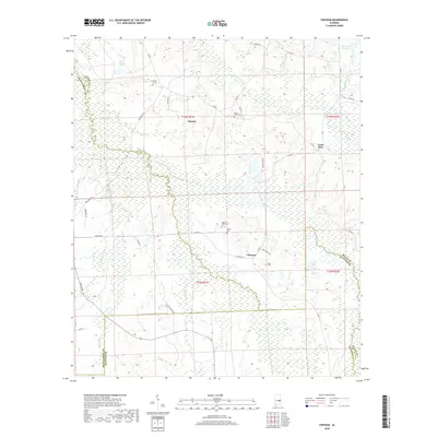
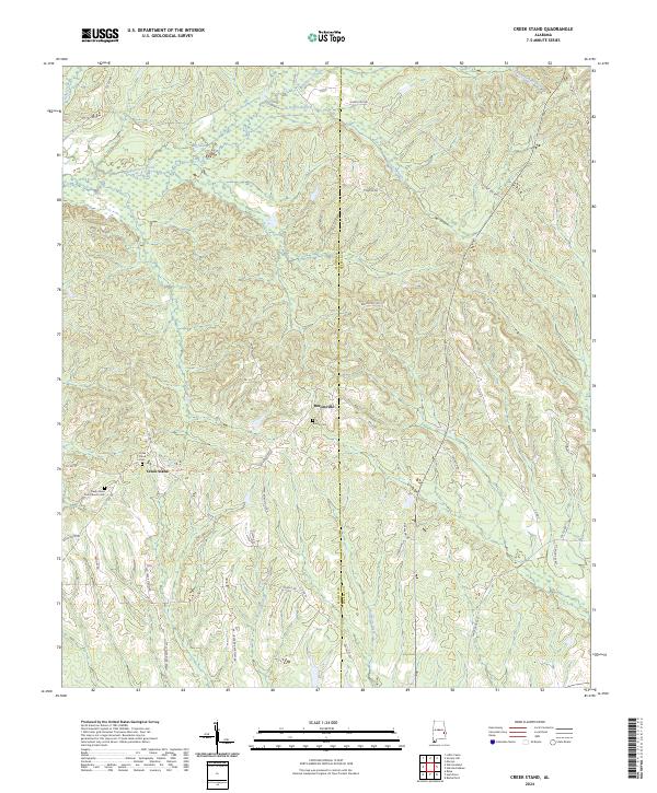
1973 Creek Stand
Macon County, AL
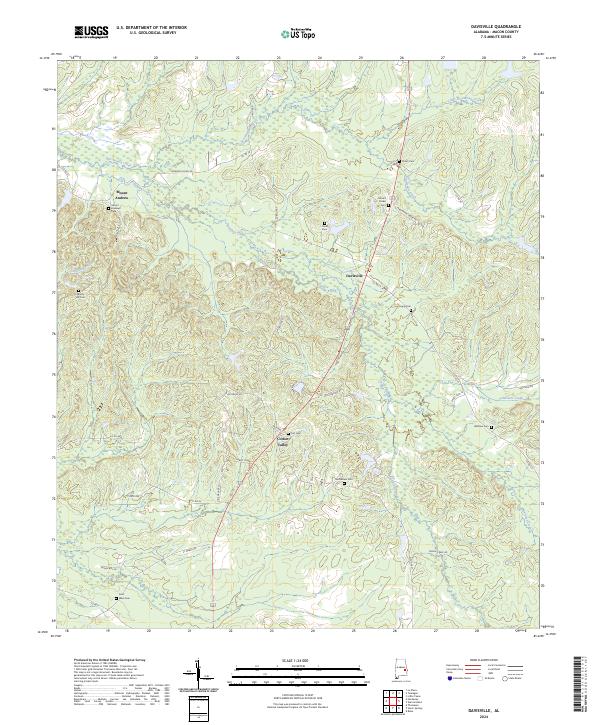
1973 Davisville
Macon County, AL
1973 Warriorstand
Macon County, AL
1998 Little Texas
Macon County, AL
2011 Chesson
Macon County, AL
2011 Creek Stand
Macon County, AL
2011 Davisville
Macon County, AL
2011 Hardaway
Macon County, AL
2011 La Place
Macon County, AL
2011 Little Texas
Macon County, AL
2011 Society Hill
Macon County, AL
2011 Warriorstand
Macon County, AL
2014 Chesson
Macon County, AL
2014 Creek Stand
Macon County, AL
2014 Davisville
Macon County, AL
2014 Hardaway
Macon County, AL
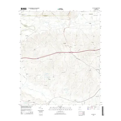
2014 La Place
Macon County, AL
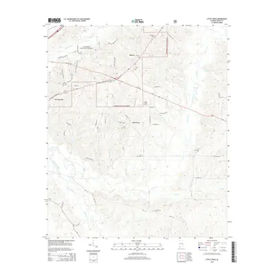
2014 Little Texas
Macon County, AL
2014 Society Hill
Macon County, AL
2014 Warriorstand
Macon County, AL
2018 Chesson
Macon County, AL
2018 Creek Stand
Macon County, AL
2018 Davisville
Macon County, AL
2018 Hardaway
Macon County, AL
2018 La Place
Macon County, AL
2018 Little Texas
Macon County, AL
2018 Society Hill
Macon County, AL
2018 Warriorstand
Macon County, AL
2020 Chesson
Macon County, AL
2020 Creek Stand
Macon County, AL
2020 Davisville
Macon County, AL
2020 Hardaway
Macon County, AL
2020 La Place
Macon County, AL
2020 Society Hill
Macon County, AL
2020 Warriorstand
Macon County, AL
2021 Little Texas
Macon County, AL
2024 Chesson
Macon County, AL
2024 Creek Stand
Macon County, AL
2024 Davisville
Macon County, AL
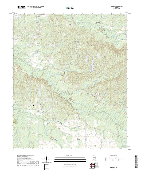
2024 Hardaway
Macon County, AL
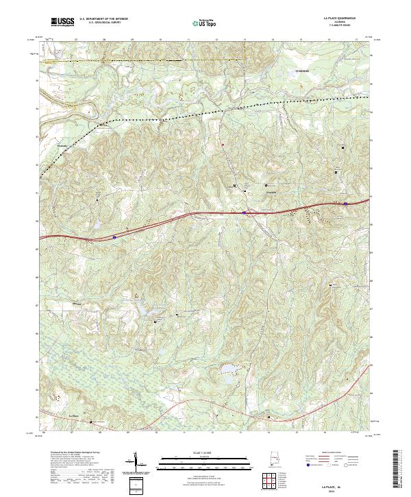
2024 La Place
Macon County, AL
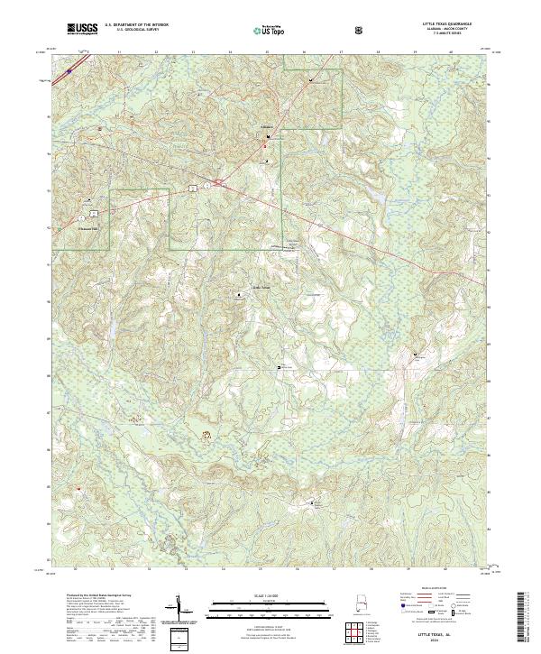
2024 Little Texas
Macon County, AL
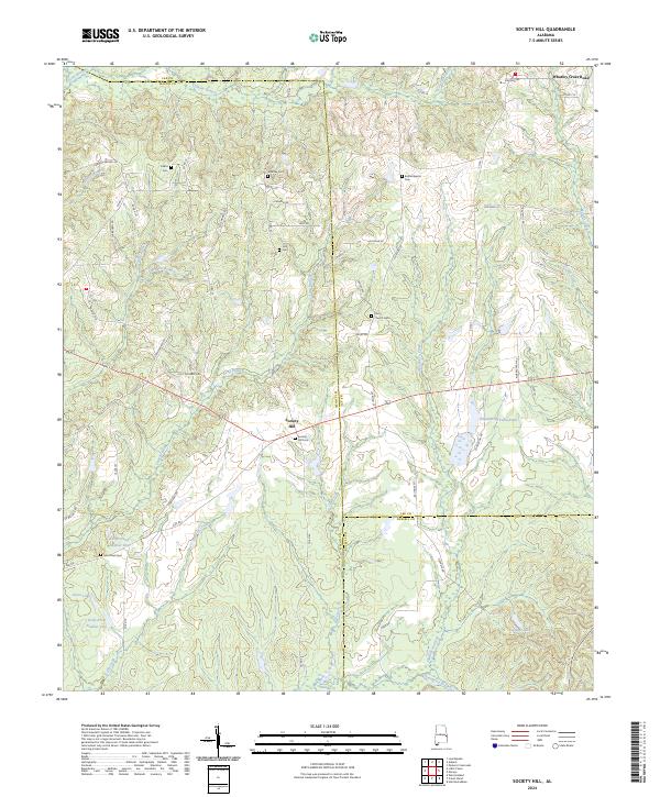
2024 Society Hill
Macon County, AL
2024 Warriorstand
Macon County, AL