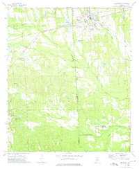
1973 Map of Hurtsboro
USGS Topo · Published 1975About this map
Hurtsboro serves as a primary rail junction in the early 1970s, where the Central of Georgia and Seaboard Coast Line tracks intersect. The landscape is defined by the headwaters of the Middle Fork Cowikee Creek and Lockhart Creek, which flow through a countryside dotted with family and community landmarks. Researchers will find numerous rural congregations and resting places, such as St Marks Ch and the Glenford Cem near Sehoy Airport. The map also captures the smaller settlement of Enon in the southwest corner, situated near St Luke Ch. This survey illustrates the complex political geography of the region, as the terrain spans the boundaries of Macon, Russell, Bullock, and Barbour Counties.
Find a feature on this map
36 named features on this map. Tap any name to fly to it.
Don’t see what you’re looking for? This feature index may not catch every label — zoom into the map to look around manually.
Map Details
Editions of this 1973 Hurtsboro Map
This is the sole edition of this map. No revisions or reprints were ever made.
Other maps of this area

1955 · Phenix City
USGS Topo · 1:250,000

1957 · Phenix City
USGS Topo · 1:250,000

1958 · Phenix City
USGS Topo · 1:250,000
1973 · Batesville
USGS Topo · 1:24,000
1973 · Hatchechubbee
USGS Topo · 1:24,000
1973 · Comer
USGS Topo · 1:24,000
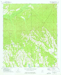
1973 · Creek Stand
USGS Topo · 1:24,000
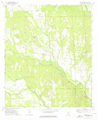
1973 · Rutherford
USGS Topo · 1:24,000
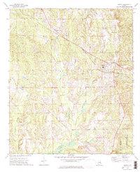
1973 · Midway
USGS Topo · 1:24,000
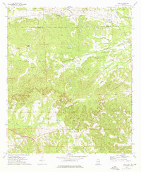
1973 · Roba
USGS Topo · 1:24,000