2010s Maps of Butler County, Alabama
Explore 60 historic maps of Butler County from the 2010s. These maps offer a rare glimpse into what life looked like during the 2010s — showing old roads, neighborhoods, homes, and landmarks that have changed or disappeared over time.
Whether you're researching your family's past, planning a metal detecting trip, or studying how Butler County's landscape evolved across the 2010s, these high-resolution maps are a powerful tool for exploring the history of this region.
- Focus on a specific era: All maps on this page are from the 2010s, giving you a focused view of this time period.
- See what’s changed: Compare century-old streets, trails, and buildings to today's modern landscape using overlays and satellite layers.
- Research with precision: Use these maps for genealogy, historical research, land use analysis, or educational projects.
- View, download, or print: Maps are fully viewable online in high resolution, and can be downloaded or printed for your own records.
Start exploring Butler County's history through authentic maps from the 2010s. This is your window into the past.
Butler County, AL maps
(60)- 2011 Map of Lyeffion, 2011 Print
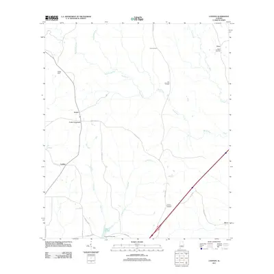 2011 Lyeffion2011 Print · USGSSouthern Alabama's rural landscape comes into focus during the early 2010s, centered on the Lyeffion community and the winding Sepulga River. Trace local family history through several sites like Joyner Cemetery, Second Mount Zion Cemetery, and the old crossroads at Bowles.
 - 2011 Map of Pigeon Creek, 2011 Print
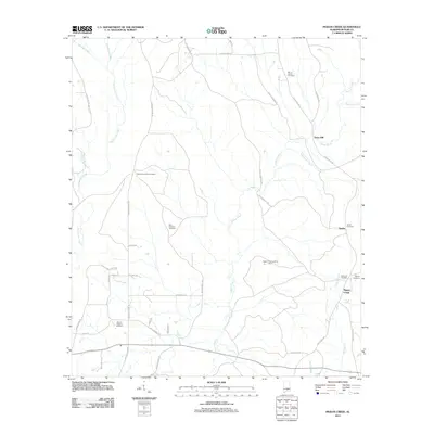 2011 Pigeon Creek2011 Print · USGSButler County's rural character remains well-preserved in the early twenty-first century as small settlements and family burial grounds dot the landscape. Researchers can trace local history through sites like Halso Mill, the Pigeon Creek Lookout Tower, and Shiloh Cemetery.
 - 2011 Map of Greenville East, 2011 Print
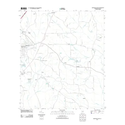 2011 Greenville East2011 Print · USGSIn the early twenty-first century, Butler County's landscape around GREENVILLE reveals a deep network of rural settlements and family cemeteries. Genealogists can trace local heritage at Pioneer Cemetery, Harrison Cemetery, and Ebenezer Cemetery or explore the waterways of Pigeon Creek and Stirling Hamilton Lake.
 - 2011 Map of Fort Deposit, 2011 Print
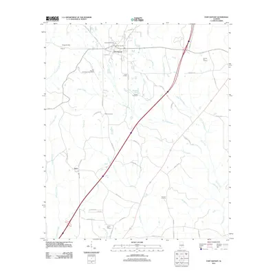 2011 Fort Deposit2011 Print · USGSFort Deposit and the surrounding Lowndes County countryside are captured here in the early twenty-first century. Genealogists and local historians can trace family locations through several burial sites like Myrtlewood Cemetery and Springhill Cemetery or locate the rural settlement at Searcy.
 - 2011 Map of Pine Apple South, 2011 Print
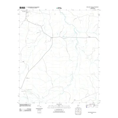 2011 Pine Apple South2011 Print · USGSPine Apple and Awin are captured here in the early twenty-first century, showcasing the rural character and family history of this Wilcox County landscape. Genealogists can trace family connections through numerous burial sites like Jenkins Chapel Cemetery, Pine Flat Cemetery, and Bethlehem Cemetery.
 - 2011 Map of Leon, 2011 Print
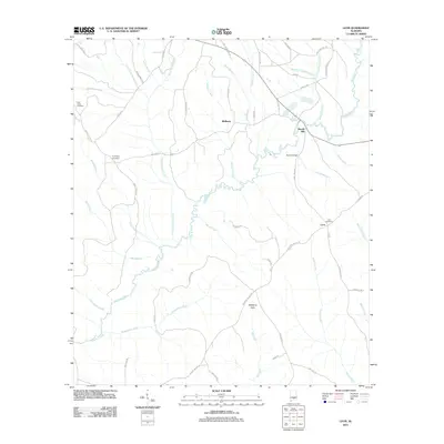 2011 Leon2011 Print · USGSCrenshaw County at the start of the 2010s is a landscape defined by the winding Patsaliga Creek and its many timbered tributaries. Researchers can locate family roots at Leon Cemetery or trace old industrial sites like Merrill Mill.
 - 2011 Map of Moodys Crossroads, 2011 Print
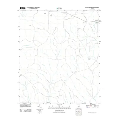 2011 Moodys Crossroads2011 Print · USGSCrenshaw County is documented here in the early twenty-first century, showing a rural landscape defined by family cemeteries and creek branches. Researchers can locate ancestral sites like Butler Cemetery and Wren Cemetery or trace landmarks such as Moodys Crossroads and Moody Lake Dam.
 - 2011 Map of Industry, 2011 Print
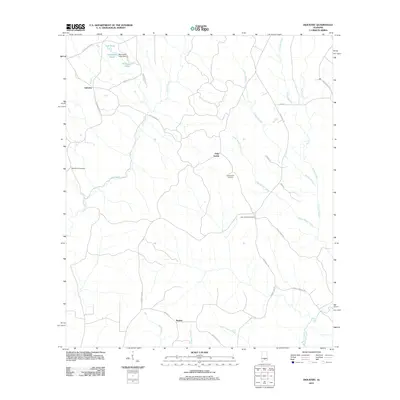 2011 Industry2011 Print · USGSSouthern Alabama’s rural character is preserved in this study of the crossroads communities near the Butler and Covington county line. Genealogists can trace family names and locations through landmarks like Consolation Cemetery, Oaky Streak, and Macedonia Cemetery.
 - 2011 Map of Georgiana East, 2011 Print
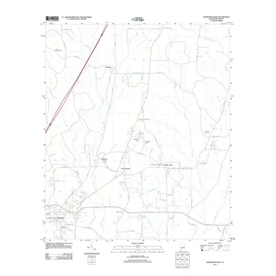 2011 Georgiana East2011 Print · USGSButler County in the early twenty-first century reveals a landscape defined by the historic timber towns of Georgiana and Chapman. Researchers can trace local lineage through numerous sites like Antioch West Cemetery and Union Cemetery or locate the Chapman Lookout Tower.
 - 2011 Map of Georgiana West, 2011 Print
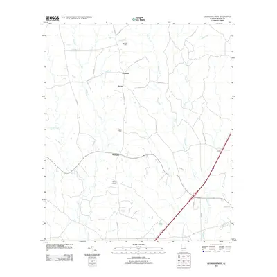 2011 Georgiana West2011 Print · USGSButler County's rural timber and agricultural lands are captured here during the early twenty-first century. Researchers can locate family landmarks like Stamps Cemetery, trace the path of Long Creek, and identify the site of the Starlington Lookout Tower.
 - 2011 Map of McKenzie, 2011 Print
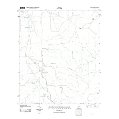 2011 McKenzie2011 Print · USGSThe rural landscape around McKenzie and Shreve is documented here during a period of steady timber and agricultural activity. Genealogists can locate family landmarks like Bushfield Cemetery, the McKenzie Post Office, and the site of the McKenzie Lookout Tower.
 - 2011 Map of Forest Home, 2011 Print
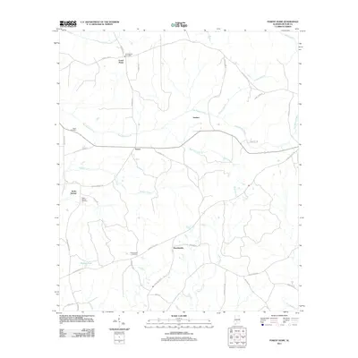 2011 Forest Home2011 Print · USGSButler County, Alabama, is documented here in the early twenty-first century as a landscape of rural crossroads and winding creek branches. Genealogists can locate family landmarks such as Butler Springs Cemetery, Watts Cemetery, and the Forest Home Post Office.
 - 2011 Map of Pine Apple North, 2011 Print
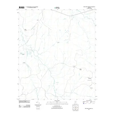 2011 Pine Apple North2011 Print · USGSWilcox County's rural landscape at the start of the decade reveals a tapestry of small settlements and family-named landmarks. Genealogists can trace local roots at Mount Moriah Cemetery, the settlement of Monterey, and along Ward and Grimes Mill Rd.
 - 2011 Map of Danielsville, 2011 Print
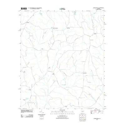 2011 Danielsville2011 Print · USGSCrenshaw County at the turn of the decade is a landscape of creek-side settlements and generational landmarks. You can trace early 20th-century roots through Danielsville and Panola while locating family sites at King Cemetery or the headwaters of Stringer Mill Creek.
 - 2011 Map of Greenville West, 2011 Print
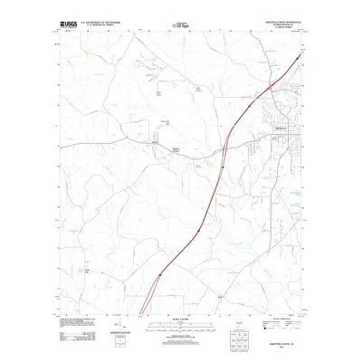 2011 Greenville West2011 Print · USGSButler County in the early twenty-first century shows a landscape where the city of Greenville transitions into a network of creeks and family homesteads. Researchers can trace local lineages at William Seale Cemetery, Liberty Cemetery, and the settlement at Reddock Springs.
 - 2011 Map of Honoraville, 2011 Print
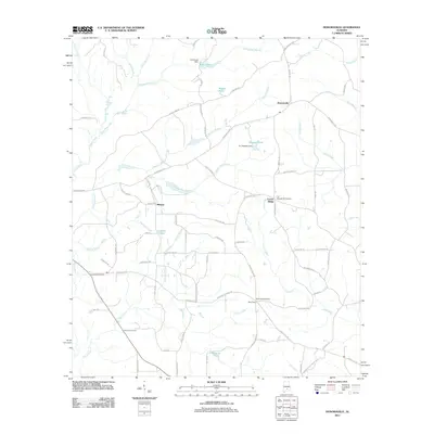 2011 Honoraville2011 Print · USGSIn the rural heart of Butler County during the early 2000s, this landscape reveals a network of small settlements and managed waters. Genealogists can locate family landmarks such as Black Rock Church, Damascus Cemetery, and the community of Center Ridge.
 - 2011 Map of Fort Dale, 2011 Print
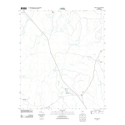 2011 Fort Dale2011 Print · USGSButler County in the early twenty-first century reveals a landscape of family-named landmarks and quiet settlements north of Greenville. Genealogists and local historians can locate several burial sites like Old Shiloh Cemetery and traces of community hubs at Fort Dale and Manningham.
 - 2011 Map of Ridgeville, 2011 Print
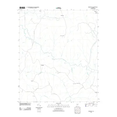 2011 Ridgeville2011 Print · USGSSouthern Lowndes County at the start of the 2010s reveals a quiet landscape of rural settlements and family landmarks. Genealogists can trace local roots through numerous sites like Snow Cemetery, Macedonia, and Crenshaws Cemetery.
 - 2011 Map of Bethel, 2011 Print
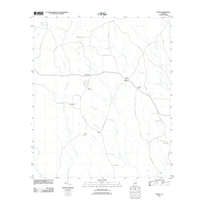 2011 Bethel2011 Print · USGSConecuh County’s rural crossroads come into focus during the early twenty-first century as small farming communities like Mixonville and Bethel maintain their local identity. Genealogists can trace family heritage through numerous burial sites such as Mount Zion Cemetery and Middleton Cemetery.
 - 2011 Map of Garland, 2011 Print
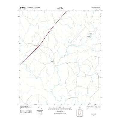 2011 Garland2011 Print · USGSButler County as it appeared in the early 2010s reveals a quiet landscape of rural crossroads and family cemeteries. Researchers can trace local heritage through sites like Odom Crossroads, Garland Cemetery, and Lake Alexander.
 - 2014 Map of Georgiana East, 2014 Print
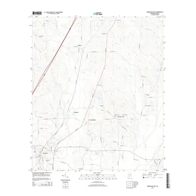 2014 Georgiana East2014 Print · USGSButler County in the mid-2010s shows a landscape of timberlands and small settlements connected by the historic Mobile Road. Researchers can trace family roots through several local burial grounds like Brushy Creek Cem and Oak Grove Cem while exploring the environs of Georgiana.
 - 2014 Map of Fort Dale, 2014 Print
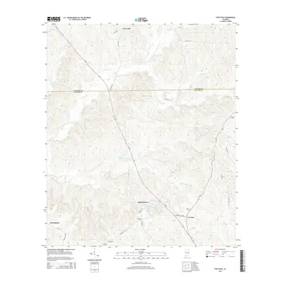 2014 Fort Dale2014 Print · USGSThe area surrounding Greenville and Fort Dale comes into focus in this modern survey. Genealogists can locate several family and community landmarks, including Ft Dale Cem, Kilgore Cem, and the settlement of Clover Hill.
 - 2014 Map of Moodys Crossroads, 2014 Print
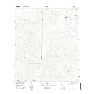 2014 Moodys Crossroads2014 Print · USGSCrenshaw and Butler counties are shown here in the mid-2010s, capturing a landscape of timbered ridges and family settlements. Genealogists can locate several local burial sites including Bedgood Cem and Butler Cem, while tracing the waters of Patsaliga Creek.
 - 2014 Map of Garland, 2014 Print
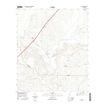 2014 Garland2014 Print · USGSThe rural borders of Butler and Conecuh counties come into focus in 2014, centered on the historic crossroads of Garland. Genealogists and local historians can trace family names at McClure Cem or follow the route of Hank Williams Rd near the Sepulga River.
 - 2014 Map of Honoraville, 2014 Print
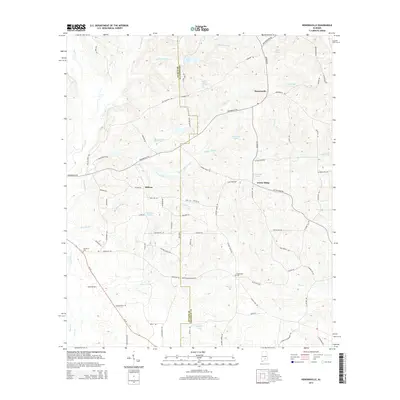 2014 Honoraville2014 Print · USGSThe rural border of Butler and Crenshaw counties is captured here in the early twenty-first century. Family historians and researchers can trace local connections between Honoraville, Midway, and Damascus, alongside landmarks like Damascus Cem and L E Skipper Pond.
Showing maps 1-25 of 60
Top cities of Butler County
Frequently asked questions
- What are the different types of historical maps available for Butler County?
- What is the oldest map of Butler County?
- Where can I purchase historical maps of Butler County for my home or office?
- Where can I download high-res historical maps of Butler County?
- Are there historical topographic maps available for Butler County?
- Is there historical aerial imagery available for Butler County?
- Where are historical maps of Butler County sourced from?