Old Maps of Greenville, Alabama
Explore 21 old maps of Greenville, spanning from 1953 to today. These high-resolution historic maps reveal how streets, neighborhoods, landmarks, and natural features evolved over time — perfect for genealogy, metal detecting, research, and local history exploration.
What you can do with these maps:
- See how Greenville changed over time: Compare historical maps to modern-day views to trace roads, homesites, rail lines & more.
- View detailed metadata: Each map includes creators, publishers, year, scale, and archive source.
- Overlay maps with satellite & LiDAR: Visualize the past alongside modern tools to explore terrain & human change.
- Trusted historical sources: Maps sourced from the USGS, Library of Congress, and other archives.
- Access maps your way: View online, download high-res files, or order prints for personal or research use.
Start exploring old maps of Greenville to uncover forgotten places, hidden landmarks, and the deep history beneath your feet.
Greenville, AL maps
(21)- 1953 Map of Andalusia, 1965 Print
 1953 Andalusia1965 Print · USGSSouth Alabama in the mid-twentieth century remains a land of pine forests and river-fed settlements. You can trace the vital rail corridors of the Louisville & Nashville and locate regional centers such as Andalusia, Brewton, and Monroeville.3 unique versions available
 - 1957 Map of Andalusia
 1957 Andalusia1957 Print · USGSSouthern Alabama in the mid-1950s was a landscape defined by timbered stretches and the rhythmic flow of the Alabama River. Researchers can trace the legacy of the rail era through the Central of Georgia tracks and the storied river bluffs at Choctaw Bluff.
 - 1971 Map of Greenville West, 1973 Print
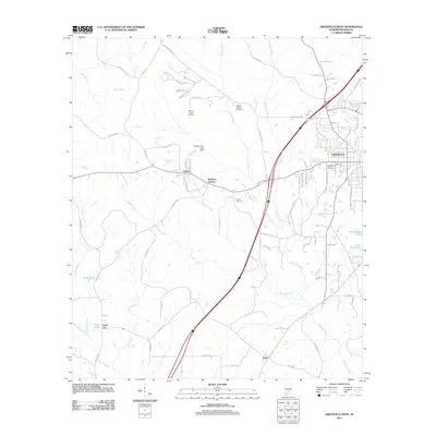
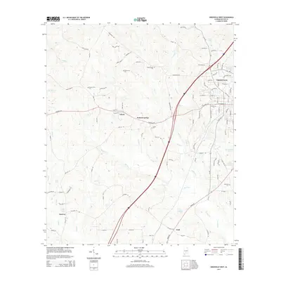
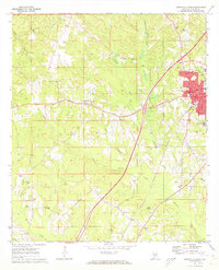 1971 Greenville West1973 Print · USGSButler County in the early seventies shows the city of Greenville expanding westward into a landscape of rural churches and creek branches. Genealogists can trace family roots at Magnolia Cemetery or locate historic congregations like Pleasant Hill Ch and Giddens Ch.2 unique versions available
 - 1971 Map of Fort Dale, 1973 Print
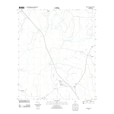
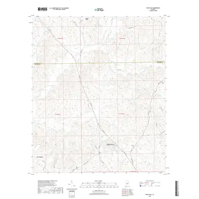
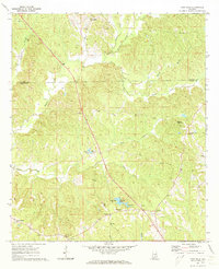 1971 Fort Dale1973 Print · USGSButler County's rural landscape is detailed here in the early seventies, showing a network of established homesteads and small communities. Genealogists and historians can trace family locations near Clover Hill, Manningham, or the site of Fort Dale.2 unique versions available
 - 1971 Map of Greenville East, 1973 Print
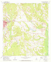 1971 Greenville East1973 Print · USGSGreenville and the surrounding Butler County hills are captured here in the early seventies as the local economy balanced rail transit and surface mining. Genealogists can locate family landmarks like Pioneer Cem, Lomax-Hannon Jr College, and rural outposts such as Mashville.2 unique versions available
 - 1986 Map of Greenville
 1986 Greenville1986 Print · USGSMid-century South Central Alabama comes alive in this survey of the creek-laced timberlands and rail-dependent towns between the Gulf Coastal Plain and the Piedmont. Researchers can trace family roots through numerous country landmarks like Magnolia Cem, Spring Hill Ch, and the Butler County State Wildlife Management Area.2 unique versions available
 - 2011 Map of Greenville East, 2011 Print
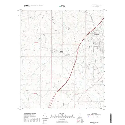
 2011 Greenville East2011 Print · USGSCovers Greenville, including Mashville, Glasgow, and other nearby areas
 - 2011 Map of Greenville West, 2011 Print
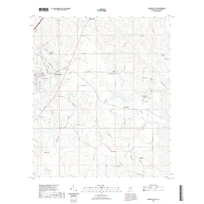
 2011 Greenville West2011 Print · USGSCovers Greenville, including Wald, Reddock Springs, and other nearby areas
 - 2011 Map of Fort Dale, 2011 Print
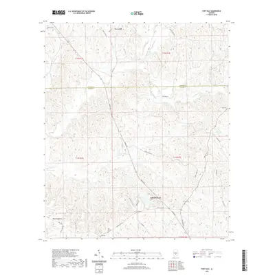
 2011 Fort Dale2011 Print · USGSCovers Greenville, including Clover Hill, Fort Dale, and other nearby areas
 - 2014 Map of Fort Dale, 2014 Print
 2014 Fort Dale2014 Print · USGSCovers Greenville, including Clover Hill, Fort Dale, and other nearby areas
 - 2014 Map of Greenville East, 2014 Print
 2014 Greenville East2014 Print · USGSCovers Greenville, including Mashville, Glasgow, and other nearby areas
 - 2014 Map of Greenville West, 2014 Print
 2014 Greenville West2014 Print · USGSCovers Greenville, including Wald, Reddock Springs, and other nearby areas
 - 2018 Map of Fort Dale, 2018 Print
 2018 Fort Dale2018 Print · USGSCovers Greenville, including Clover Hill, Fort Dale, and other nearby areas
 - 2018 Map of Greenville West, 2018 Print
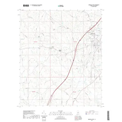 2018 Greenville West2018 Print · USGSCovers Greenville, including Wald, Reddock Springs, and other nearby areas
 - 2018 Map of Greenville East, 2018 Print
 2018 Greenville East2018 Print · USGSCovers Greenville, including Mashville, Glasgow, and other nearby areas
 - 2020 Map of Greenville East, 2020 Print
 2020 Greenville East2020 Print · USGSCovers Greenville, including Mashville, Glasgow, and other nearby areas
 - 2020 Map of Fort Dale, 2020 Print
 2020 Fort Dale2020 Print · USGSCovers Greenville, including Clover Hill, Fort Dale, and other nearby areas
 - 2020 Map of Greenville West, 2020 Print
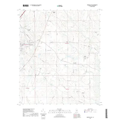
 2020 Greenville West2020 Print · USGSCovers Greenville, including Wald, Reddock Springs, and other nearby areas
 - 2024 Map of Fort Dale, 2024 Print
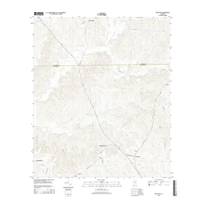
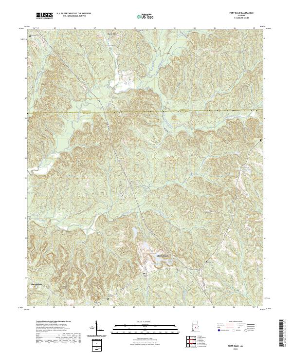 2024 Fort Dale2024 Print · USGSButler County, Alabama, is shown here in the mid-2020s, centered on the city of Greenville and the surrounding rural uplands. Genealogists can trace family landmarks like Fort Dale Cem, Old Shiloh Cem, and the waters of Mussel Creek.
 - 2024 Map of Greenville East, 2024 Print
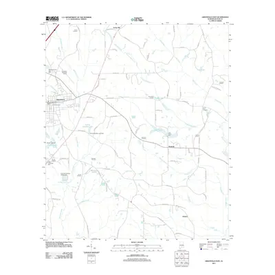
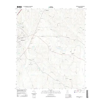
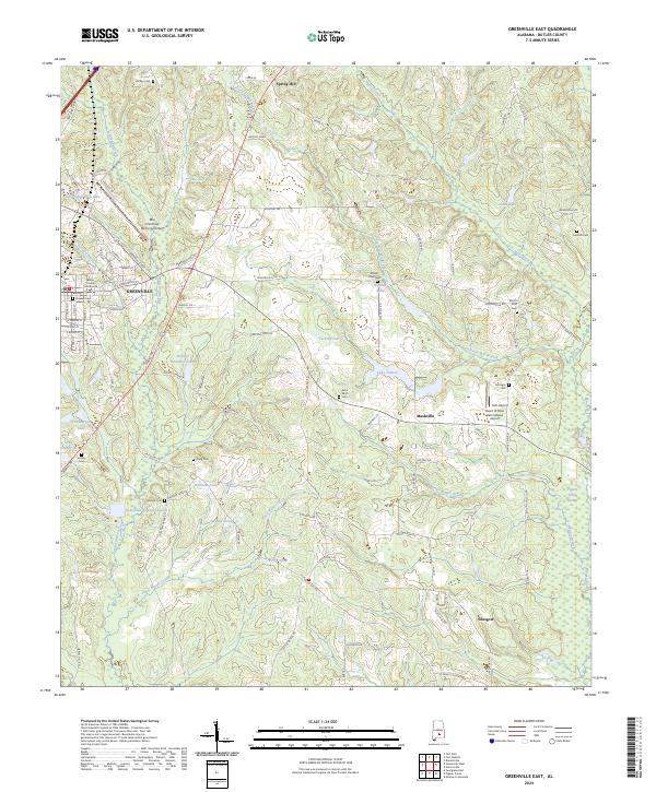 2024 Greenville East2024 Print · USGSButler County, Alabama, is captured here in the mid-2020s, centering on the city of Greenville and its traditional settlement patterns. Local historians can trace family roots through a high density of rural cemeteries including Pioneer Cem, Mount Olive Cem, and Hartley Cem.
 - 2024 Map of Greenville West, 2024 Print
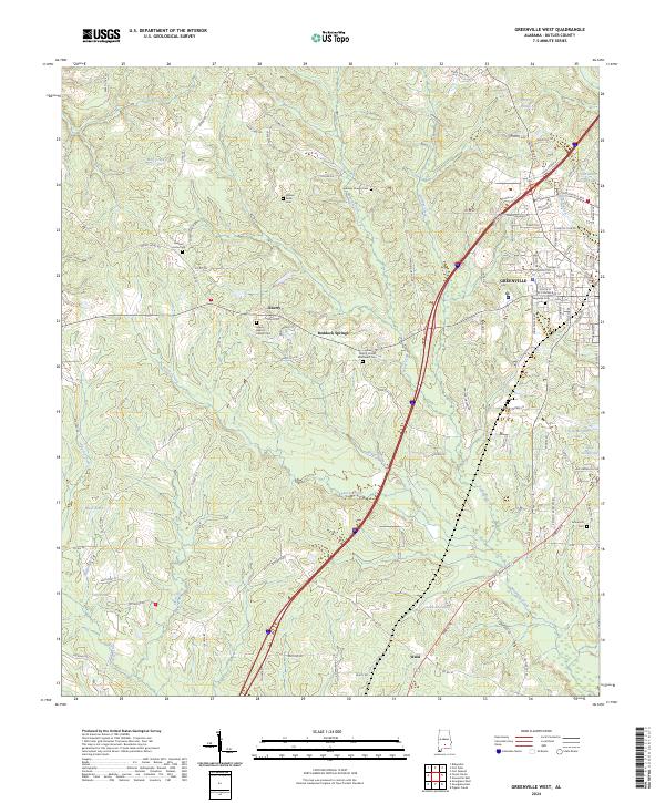 2024 Greenville West2024 Print · USGSButler County, Alabama, is documented here in its contemporary rural and suburban character. Researchers can trace family history through numerous burial grounds like Magnolia Cem and Gravel Hill Cem, or explore local landmarks like Reddock Springs.
End of results
Showing maps 1-21 of 21
Top cities near Greenville
Top neighborhoods of Greenville
- South Street Historic District historical maps
- Commerce Street Residential Historic District historical maps
- East Commerce Street Historic District historical maps
- Post Office Historic District historical maps
- South Greenville Historic District historical maps
- Fort Dale-College Street Historic District historical maps
See more
Frequently asked questions
- What are the different types of historical maps available for Greenville?
- What is the oldest map of Greenville?
- Where can I purchase historical maps of Greenville for my home or office?
- Where can I download high-res historical maps of Greenville?
- Are there historical topographic maps available for Greenville?
- Is there historical aerial imagery available for Greenville?
- Where are historical maps of Greenville sourced from?