2020s Maps of Greenville, Alabama
Explore 6 historic maps of Greenville from the 2020s. These maps offer a rare glimpse into what life looked like during the 2020s — showing old roads, neighborhoods, homes, and landmarks that have changed or disappeared over time.
Whether you're researching your family's past, planning a metal detecting trip, or studying how Greenville's landscape evolved across the 2020s, these high-resolution maps are a powerful tool for exploring the history of this region.
- Focus on a specific era: All maps on this page are from the 2020s, giving you a focused view of this time period.
- See what’s changed: Compare century-old streets, trails, and buildings to today's modern landscape using overlays and satellite layers.
- Research with precision: Use these maps for genealogy, historical research, land use analysis, or educational projects.
- View, download, or print: Maps are fully viewable online in high resolution, and can be downloaded or printed for your own records.
Start exploring Greenville's history through authentic maps from the 2020s. This is your window into the past.
Greenville, AL maps
(6)- 2020 Map of Greenville East, 2020 Print
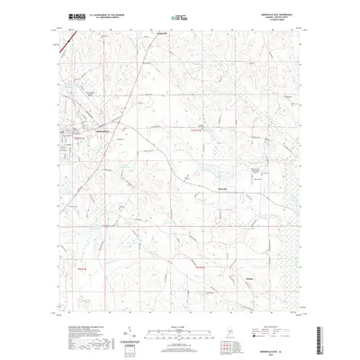 2020 Greenville East2020 Print · USGSCovers Greenville, including Mashville, Glasgow, and other nearby areas
 - 2020 Map of Fort Dale, 2020 Print
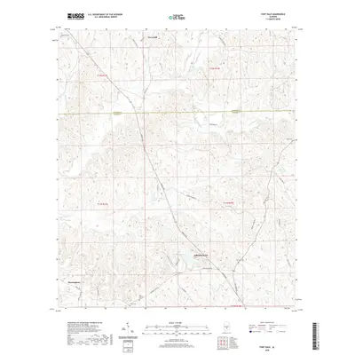 2020 Fort Dale2020 Print · USGSCovers Greenville, including Clover Hill, Fort Dale, and other nearby areas
 - 2020 Map of Greenville West, 2020 Print
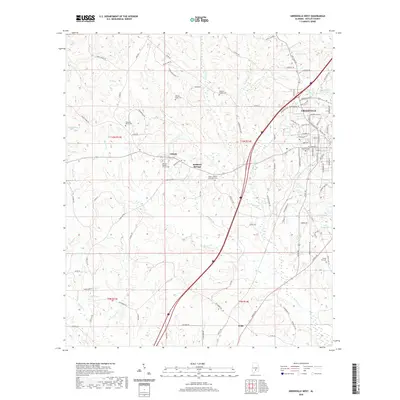 2020 Greenville West2020 Print · USGSCovers Greenville, including Wald, Reddock Springs, and other nearby areas
 - 2024 Map of Fort Dale, 2024 Print
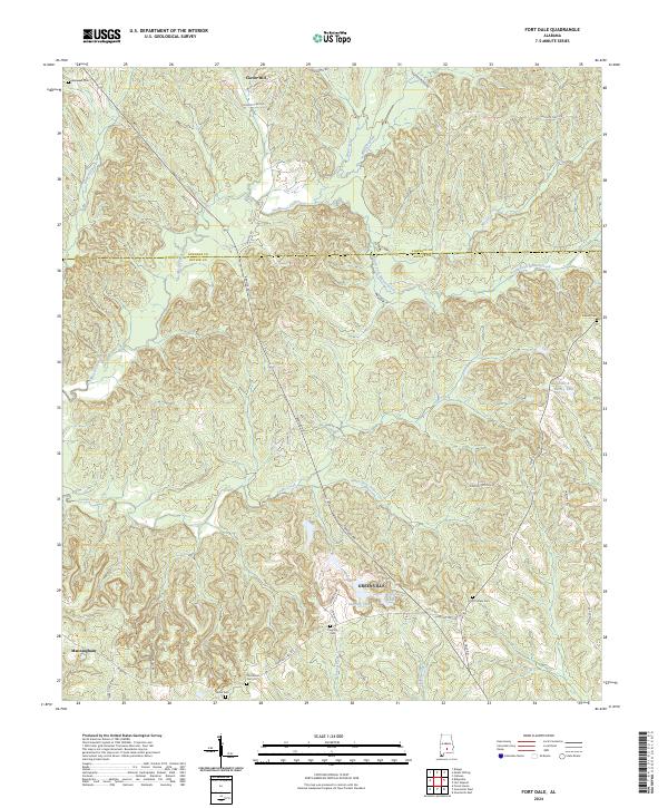 2024 Fort Dale2024 Print · USGSButler County, Alabama, is shown here in the mid-2020s, centered on the city of Greenville and the surrounding rural uplands. Genealogists can trace family landmarks like Fort Dale Cem, Old Shiloh Cem, and the waters of Mussel Creek.
 - 2024 Map of Greenville East, 2024 Print
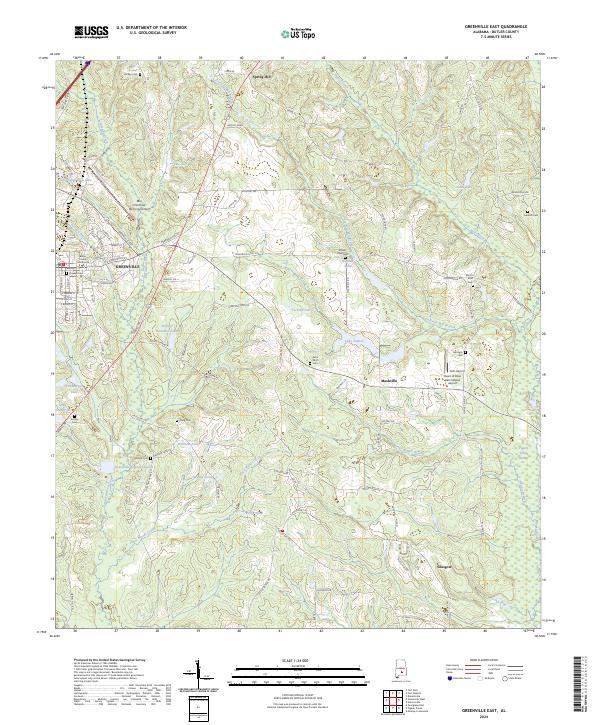 2024 Greenville East2024 Print · USGSButler County, Alabama, is captured here in the mid-2020s, centering on the city of Greenville and its traditional settlement patterns. Local historians can trace family roots through a high density of rural cemeteries including Pioneer Cem, Mount Olive Cem, and Hartley Cem.
 - 2024 Map of Greenville West, 2024 Print
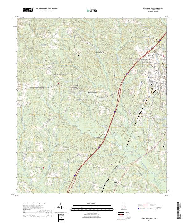 2024 Greenville West2024 Print · USGSButler County, Alabama, is documented here in its contemporary rural and suburban character. Researchers can trace family history through numerous burial grounds like Magnolia Cem and Gravel Hill Cem, or explore local landmarks like Reddock Springs.
End of results
Showing maps 1-6 of 6
Top cities near Greenville
Top neighborhoods of Greenville
- South Street Historic District historical maps
- Commerce Street Residential Historic District historical maps
- East Commerce Street Historic District historical maps
- Post Office Historic District historical maps
- South Greenville Historic District historical maps
- Fort Dale-College Street Historic District historical maps
See more
Frequently asked questions
- What are the different types of historical maps available for Greenville?
- What is the oldest map of Greenville?
- Where can I purchase historical maps of Greenville for my home or office?
- Where can I download high-res historical maps of Greenville?
- Are there historical topographic maps available for Greenville?
- Is there historical aerial imagery available for Greenville?
- Where are historical maps of Greenville sourced from?