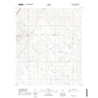
2020 Map of Greenville East
USGS Topo · Published 2020About this map
The Butler County Courthouse stands at the heart of Greenville, anchoring a landscape where the urban grid meets the low-lying wetlands of Pigeon Creek Swamp. This area of central Alabama is defined by its transition from the municipal center to the surrounding rural hamlets of Mashville and Glasgow. The terrain is characterized by numerous small, named water bodies including Williams Pond, Luckie Pond, and Lake Tanner, which are scattered throughout the rolling piney woods.
Find a feature on this map
107 named features on this map. Tap any name to fly to it.
Don’t see what you’re looking for? This feature index may not catch every label — zoom into the map to look around manually.
Map Details
Editions of this 2020 Greenville East Map
This is the sole edition of this map. No revisions or reprints were ever made.
Other maps of this area

1953 · Andalusia
USGS Topo · 1:250,000

1957 · Andalusia
USGS Topo · 1:250,000

1971 · Greenville West
USGS Topo · 1:24,000

1971 · Pigeon Creek
USGS Topo · 1:24,000

1971 · Fort Deposit
USGS Topo · 1:24,000

1971 · Honoraville
USGS Topo · 1:24,000

1971 · Fort Dale
USGS Topo · 1:24,000

1971 · Moodys Crossroads
USGS Topo · 1:24,000

1971 · Greenville East
USGS Topo · 1:24,000

1971 · Danielsville
USGS Topo · 1:24,000